669 Currahee Point Toccoa, GA 30577
Estimated Value: $23,383 - $89,000
--
Bed
--
Bath
--
Sq Ft
0.48
Acres
About This Home
This home is located at 669 Currahee Point, Toccoa, GA 30577 and is currently estimated at $47,346. 669 Currahee Point is a home located in Stephens County with nearby schools including Stephens County High School.
Ownership History
Date
Name
Owned For
Owner Type
Purchase Details
Closed on
Aug 3, 2020
Sold by
Smith Steven
Bought by
Huotari Joseph
Current Estimated Value
Purchase Details
Closed on
Oct 30, 2003
Sold by
Circle East A Joint Venture
Bought by
Smith Steve and Smith Jane C
Purchase Details
Closed on
May 4, 1998
Sold by
Crunkleton Real Estate Inc
Bought by
Circle East A Joint Venture
Purchase Details
Closed on
May 6, 1997
Sold by
Circle East A Joint Venture
Bought by
Crunkleton Real Estate
Purchase Details
Closed on
Sep 4, 1987
Sold by
Circle East A Joint Venture
Bought by
Pastrick Raleigh
Create a Home Valuation Report for This Property
The Home Valuation Report is an in-depth analysis detailing your home's value as well as a comparison with similar homes in the area
Home Values in the Area
Average Home Value in this Area
Purchase History
| Date | Buyer | Sale Price | Title Company |
|---|---|---|---|
| Huotari Joseph | $15,000 | -- | |
| Smith Steve | $17,400 | -- | |
| Circle East A Joint Venture | $9,100 | -- | |
| Crunkleton Real Estate | $7,500 | -- | |
| Pastrick Raleigh | -- | -- | |
| Circle East A Joint Venture | -- | -- |
Source: Public Records
Tax History Compared to Growth
Tax History
| Year | Tax Paid | Tax Assessment Tax Assessment Total Assessment is a certain percentage of the fair market value that is determined by local assessors to be the total taxable value of land and additions on the property. | Land | Improvement |
|---|---|---|---|---|
| 2025 | $219 | $7,977 | $7,977 | $0 |
| 2024 | $243 | $7,977 | $7,977 | $0 |
| 2023 | $243 | $7,977 | $7,977 | $0 |
| 2022 | $237 | $7,977 | $7,977 | $0 |
| 2021 | $249 | $7,977 | $7,977 | $0 |
| 2020 | $259 | $8,202 | $8,202 | $0 |
| 2019 | $260 | $8,202 | $8,202 | $0 |
| 2018 | $260 | $8,202 | $8,202 | $0 |
| 2017 | $264 | $8,202 | $8,202 | $0 |
| 2016 | $260 | $8,202 | $8,202 | $0 |
| 2015 | $272 | $8,202 | $8,202 | $0 |
| 2014 | $277 | $8,202 | $8,202 | $0 |
| 2013 | -- | $8,202 | $8,202 | $0 |
Source: Public Records
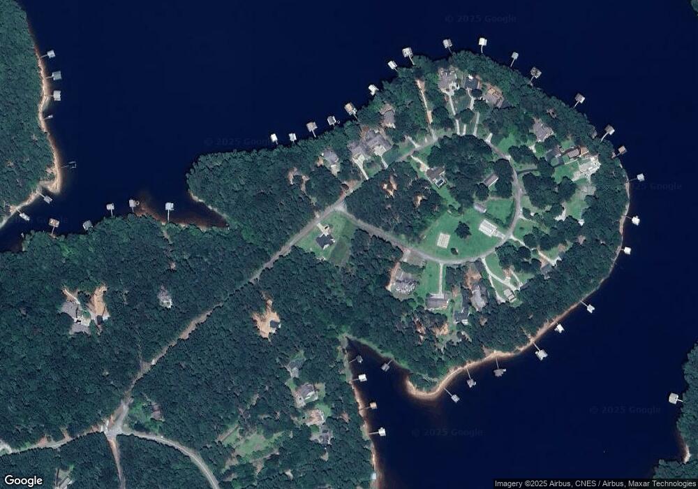
Map
Nearby Homes
- 49 Currahee Point
- 287 Spring Branch Cir
- 604 Mckinney Way
- 455 Chase Landing Rd
- 245 Currahee Place
- 173 Laura Dr
- Lot 34 Stillwater Place
- 3 Lost Forest Dr
- 0 Oliver Rd Unit 20284767
- 0 Oliver Rd Unit 1550308
- 88 Currahee Place
- 02 Wood Valley Dr
- Lot 6 Lost Forest Dr
- 9B Lost Forest Dr
- 0 Lost Forest Dr
- 0 Wildwood Trail
- 223 Brookside Dr
- 004 Brookside Dr Unit 10A
- Lot 9 Block A Brookside Dr
- 1 Brookside Dr
- 18B Circle E
- 651 Currahee Point
- 0 Currahee Point Unit LOT 9 2841734
- 0 Currahee Point Unit LT 33 3232723
- 0 Currahee Point Unit 27A 3284002
- 0 Currahee Point Unit 33 7002845
- 0 Currahee Point Unit 7087012
- 685 Currahee Point
- 685 Currahee Point Unit LOT 33
- 685 Currahee Point Unit 33 SECTION 2
- 687 Currahee Point
- 18A Currahee Point Unit Circle East
- 172 Currahee Point
- 621 Currahee Point
- 269 Currahee Point
- 604 Currahee Point
- 299 Currahee Point
- 317 Currahee Point
- 589 Currahee Point
- 112 Currahee Point