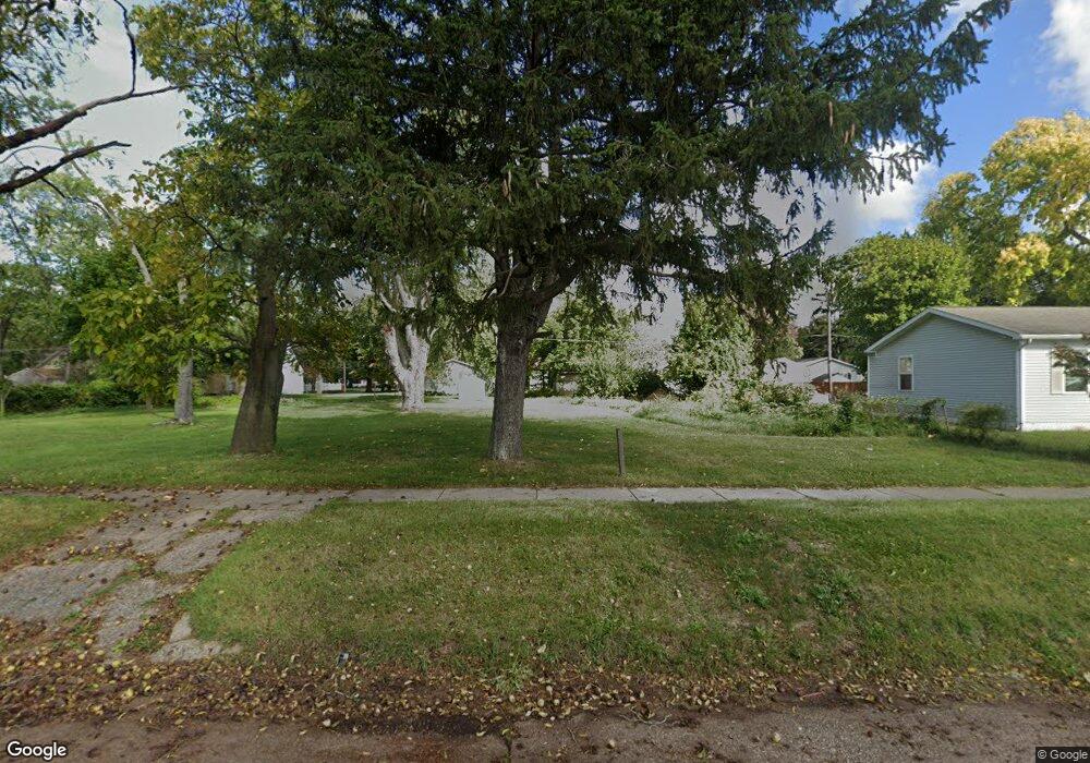
669 E High St Benton Harbor, MI 49022
Estimated Value: $58,000 - $467,000
Studio
--
Bath
--
Sq Ft
16,117
Sq Ft Lot
About This Home
This home is located at 669 E High St, Benton Harbor, MI 49022 and is currently estimated at $262,500. 669 E High St is a home located in Berrien County with nearby schools including Fair Plain Middle School, Benton Harbor High School, and Mildred C. Wells Preparatory Academy.
Ownership History
Date
Name
Owned For
Owner Type
Purchase Details
Closed on
Jan 6, 2015
Sold by
Hines Larry and Hines Serena
Bought by
Power Ministry Co Gjc
Current Estimated Value
Purchase Details
Closed on
Aug 12, 2011
Sold by
Witkowski Bret
Bought by
Berrien County Land Bank Authority
Home Financials for this Owner
Home Financials are based on the most recent Mortgage that was taken out on this home.
Original Mortgage
$31,500
Interest Rate
4.54%
Mortgage Type
Unknown
Create a Home Valuation Report for This Property
The Home Valuation Report is an in-depth analysis detailing your home's value as well as a comparison with similar homes in the area
Home Values in the Area
Average Home Value in this Area
Purchase History
| Date | Buyer | Sale Price | Title Company |
|---|---|---|---|
| Power Ministry Co Gjc | -- | None Available | |
| Berrien County Land Bank Authority | -- | None Available |
Source: Public Records
Mortgage History
| Date | Status | Borrower | Loan Amount |
|---|---|---|---|
| Previous Owner | Berrien County Land Bank Authority | $31,500 |
Source: Public Records
Tax History
| Year | Tax Paid | Tax Assessment Tax Assessment Total Assessment is a certain percentage of the fair market value that is determined by local assessors to be the total taxable value of land and additions on the property. | Land | Improvement |
|---|---|---|---|---|
| 2025 | $76 | $8,500 | $0 | $0 |
| 2024 | $73 | $7,100 | $0 | $0 |
| 2023 | $58 | $1,400 | $0 | $0 |
| 2022 | $66 | $1,100 | $0 | $0 |
| 2021 | $119 | $1,900 | $1,900 | $0 |
| 2020 | $119 | $1,900 | $0 | $0 |
| 2019 | $119 | $1,900 | $0 | $0 |
Source: Public Records
Map
Nearby Homes
- 710 Buss Ave
- 696 Highland Ave
- 810 Thresher Ave
- 627 E Main St
- 635 E Main St
- 770 Territorial Rd
- 137 Cornelia St
- 992 Highland Ave
- 490 Territorial Rd
- 363 Brunson Ave
- 380 N Mccord St
- 561 Heck Ct
- 378 Pipestone St
- 381 N Hull Ave
- 470 N Mccord St
- 596 Superior St
- 520 Broadway
- 410 Division St
- 730 Superior St
- 614 Pavone St
Your Personal Tour Guide
Ask me questions while you tour the home.