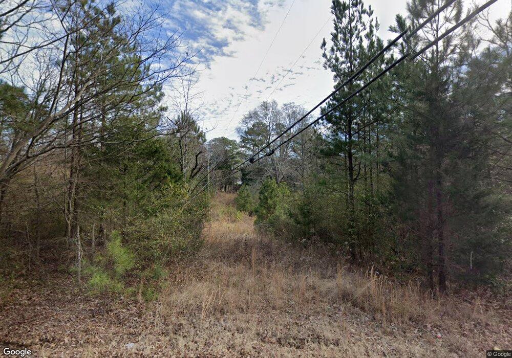
669 Hutto Hill Anniston, AL 36201
Estimated Value: $199,000 - $282,000
--
Bed
--
Bath
2,315
Sq Ft
$106/Sq Ft
Est. Value
About This Home
This home is located at 669 Hutto Hill, Anniston, AL 36201 and is currently estimated at $246,129, approximately $106 per square foot. 669 Hutto Hill is a home located in Calhoun County with nearby schools including Wellborn Elementary School and Wellborn High School.
Ownership History
Date
Name
Owned For
Owner Type
Purchase Details
Closed on
Apr 5, 2019
Sold by
Gallahar Ashley Brooke and Gallahar Jordan
Bought by
Jones Shelby L
Current Estimated Value
Home Financials for this Owner
Home Financials are based on the most recent Mortgage that was taken out on this home.
Original Mortgage
$98,090
Outstanding Balance
$86,412
Interest Rate
4.4%
Mortgage Type
New Conventional
Estimated Equity
$159,717
Purchase Details
Closed on
Dec 6, 2013
Sold by
Kipling S Kipling S and Browning Ella M
Bought by
Gallahar Ashley Brooke and Gallahar Jordan
Home Financials for this Owner
Home Financials are based on the most recent Mortgage that was taken out on this home.
Original Mortgage
$5,850,000
Interest Rate
3.32%
Mortgage Type
Stand Alone Refi Refinance Of Original Loan
Create a Home Valuation Report for This Property
The Home Valuation Report is an in-depth analysis detailing your home's value as well as a comparison with similar homes in the area
Home Values in the Area
Average Home Value in this Area
Purchase History
| Date | Buyer | Sale Price | Title Company |
|---|---|---|---|
| Jones Shelby L | $999,000 | None Available | |
| Gallahar Ashley Brooke | $9,350,000 | -- |
Source: Public Records
Mortgage History
| Date | Status | Borrower | Loan Amount |
|---|---|---|---|
| Open | Jones Shelby L | $98,090 | |
| Previous Owner | Gallahar Ashley Brooke | $5,850,000 |
Source: Public Records
Tax History Compared to Growth
Tax History
| Year | Tax Paid | Tax Assessment Tax Assessment Total Assessment is a certain percentage of the fair market value that is determined by local assessors to be the total taxable value of land and additions on the property. | Land | Improvement |
|---|---|---|---|---|
| 2024 | $571 | $15,540 | $3,350 | $12,190 |
| 2023 | $571 | $15,540 | $3,350 | $12,190 |
| 2022 | $622 | $15,540 | $3,350 | $12,190 |
| 2021 | $477 | $11,908 | $2,450 | $9,458 |
| 2020 | $477 | $11,908 | $2,450 | $9,458 |
| 2019 | $426 | $23,844 | $4,896 | $18,948 |
| 2018 | $560 | $15,280 | $0 | $0 |
| 2017 | $334 | $10,540 | $0 | $0 |
| 2016 | $371 | $19,960 | $0 | $0 |
| 2013 | -- | $10,340 | $0 | $0 |
Source: Public Records
Map
Nearby Homes
- 221 Geoff Ln
- 65 Warren Ave S
- 236 Mosby Dr
- 253 Ledbetter Rd Unit 22-02-10-0-003-065.0
- 478 Ledbetter Rd
- 0 Coleman Rd Unit 11473253
- 4109 Springhill Dr
- 391 Pinson Rd
- 4217 Old Birmingham Hwy
- 0 Eulaton Rd Unit Land Only 21363939
- 154 First Avenue Pinecrest
- 0 S Central City Ln
- 613 12th St W Unit F
- 0 Highway 21 Unit 1 21394145
- 359 Bynum Acres Dr
- 0 Franklin Ave Unit In 21402057
- 0 Spiral St Unit 21413442
- 0 W 24th St Unit 21433836
- 700 S Marshall St
- 1816 Pope St
