Estimated Value: $51,432 - $153,000
4
Beds
3
Baths
2,432
Sq Ft
$37/Sq Ft
Est. Value
About This Home
This home is located at 669 Martin Rd, Kite, GA 31049 and is currently estimated at $90,477, approximately $37 per square foot. 669 Martin Rd is a home with nearby schools including Johnson County Elementary School, Johnson County Middle School, and Johnson County High School.
Ownership History
Date
Name
Owned For
Owner Type
Purchase Details
Closed on
Mar 8, 2014
Sold by
Certusbank
Bought by
Jones Central Llc
Current Estimated Value
Purchase Details
Closed on
Feb 17, 2014
Sold by
East Georgia Investment Co
Bought by
Lewis Cecil Scott and Lewis Paula Michele
Purchase Details
Closed on
Jan 30, 2014
Sold by
Jones Central Llc
Bought by
East Gerogia Investment Company
Purchase Details
Closed on
Aug 21, 2013
Sold by
Monroe Craig A
Bought by
Jones Central Llc
Purchase Details
Closed on
Dec 30, 2010
Sold by
Swamp Rat Llc
Bought by
Jones Central Llc
Purchase Details
Closed on
Dec 21, 2009
Sold by
Jones Central Llc
Bought by
Swamp Rat Llc
Purchase Details
Closed on
Oct 24, 2006
Sold by
New Forestry Llc
Bought by
Jones Central Llc
Purchase Details
Closed on
Jan 16, 1998
Sold by
Forest America Inc
Bought by
New Forestry Llc
Create a Home Valuation Report for This Property
The Home Valuation Report is an in-depth analysis detailing your home's value as well as a comparison with similar homes in the area
Home Values in the Area
Average Home Value in this Area
Purchase History
| Date | Buyer | Sale Price | Title Company |
|---|---|---|---|
| Jones Central Llc | -- | -- | |
| Lewis Cecil Scott | $12,500 | -- | |
| East Gerogia Investment Company | $170,000 | -- | |
| Jones Central Llc | -- | -- | |
| Jones Central Llc | -- | -- | |
| Swamp Rat Llc | $227,500 | -- | |
| Jones Central Llc | $497,200 | -- | |
| New Forestry Llc | -- | -- |
Source: Public Records
Tax History Compared to Growth
Tax History
| Year | Tax Paid | Tax Assessment Tax Assessment Total Assessment is a certain percentage of the fair market value that is determined by local assessors to be the total taxable value of land and additions on the property. | Land | Improvement |
|---|---|---|---|---|
| 2024 | $227 | $7,042 | $5,042 | $2,000 |
| 2023 | $227 | $7,042 | $5,042 | $2,000 |
| 2022 | $449 | $46,422 | $0 | $46,422 |
| 2021 | $521 | $17,753 | $5,042 | $12,711 |
| 2020 | $547 | $17,753 | $5,042 | $12,711 |
| 2019 | $541 | $17,553 | $5,042 | $12,511 |
| 2018 | $506 | $17,244 | $5,042 | $12,202 |
| 2017 | $551 | $17,244 | $5,042 | $12,202 |
| 2016 | $492 | $16,782 | $5,042 | $11,740 |
| 2015 | -- | $17,058 | $5,042 | $12,016 |
| 2014 | -- | $5,042 | $5,042 | $0 |
| 2013 | -- | $5,042 | $5,042 | $0 |
Source: Public Records
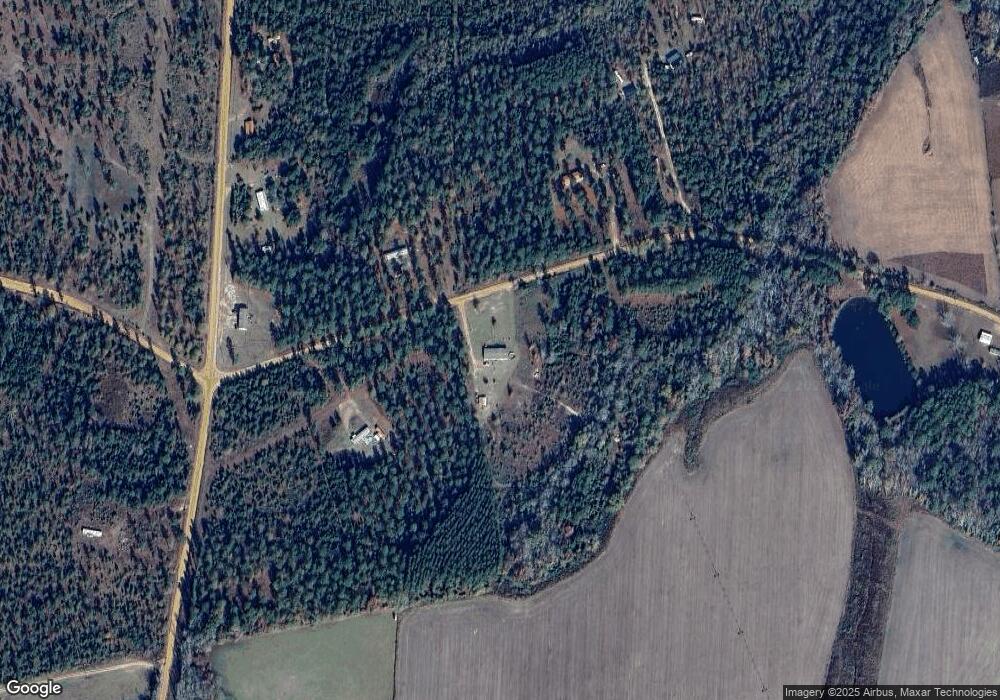
Map
Nearby Homes
- 728 Martin Rd
- 0 Sardis Church Rd Unit 10601519
- 0 Trinity Church Rd
- 546 Alton Lawson Rd
- 600 Alton Lawson Rd
- 400 Alton Lawson Rd
- 503 Alton Lawson Rd
- 0 Alton Lawson Rd
- 53 Averett St
- 55 Hatcher St
- 87 Georgia Ave
- 2195 Montgomery St
- 0 Asa Lindsey Rd Unit 10595336
- 0 Asa Lindsey Rd Unit 25496504
- 223 Kersey Rd
- 0 Walden Way Unit 10601502
- 22 Jl Price Rd
- 0000 Hwy 171
- 92 Paul Lord Rd
- 250 Archers Pond Smith Rd