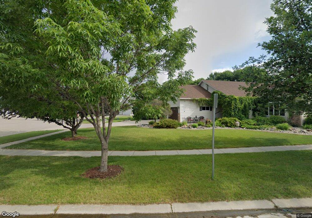
669 Sommerset Ln West Fargo, ND 58078
Sommerset NeighborhoodEstimated Value: $346,000 - $394,000
4
Beds
2
Baths
2,284
Sq Ft
$159/Sq Ft
Est. Value
About This Home
This home is located at 669 Sommerset Ln, West Fargo, ND 58078 and is currently estimated at $363,817, approximately $159 per square foot. 669 Sommerset Ln is a home located in Cass County with nearby schools including L.E. Berger Elementary School, Cheney Middle School, and West Fargo High School.
Ownership History
Date
Name
Owned For
Owner Type
Purchase Details
Closed on
Jul 29, 2014
Sold by
Sellheim Keith A and Sellheim Onalee R
Bought by
Bjornson Darin F and Prochnow Erin N
Current Estimated Value
Home Financials for this Owner
Home Financials are based on the most recent Mortgage that was taken out on this home.
Original Mortgage
$235,700
Outstanding Balance
$180,257
Interest Rate
4.19%
Mortgage Type
New Conventional
Estimated Equity
$183,560
Create a Home Valuation Report for This Property
The Home Valuation Report is an in-depth analysis detailing your home's value as well as a comparison with similar homes in the area
Home Values in the Area
Average Home Value in this Area
Purchase History
| Date | Buyer | Sale Price | Title Company |
|---|---|---|---|
| Bjornson Darin F | $255,000 | Fm Title |
Source: Public Records
Mortgage History
| Date | Status | Borrower | Loan Amount |
|---|---|---|---|
| Open | Bjornson Darin F | $235,700 |
Source: Public Records
Tax History Compared to Growth
Tax History
| Year | Tax Paid | Tax Assessment Tax Assessment Total Assessment is a certain percentage of the fair market value that is determined by local assessors to be the total taxable value of land and additions on the property. | Land | Improvement |
|---|---|---|---|---|
| 2024 | $4,394 | $156,850 | $29,300 | $127,550 |
| 2023 | $4,370 | $155,100 | $29,300 | $125,800 |
| 2022 | $4,238 | $144,050 | $29,300 | $114,750 |
| 2021 | $4,174 | $136,200 | $22,550 | $113,650 |
| 2020 | $4,040 | $133,150 | $22,550 | $110,600 |
| 2019 | $3,934 | $128,950 | $22,550 | $106,400 |
| 2018 | $3,790 | $127,900 | $22,550 | $105,350 |
| 2017 | $3,642 | $124,800 | $22,550 | $102,250 |
| 2016 | $3,192 | $120,750 | $22,550 | $98,200 |
| 2015 | $3,037 | $108,750 | $18,650 | $90,100 |
| 2014 | $2,981 | $101,650 | $18,650 | $83,000 |
| 2013 | $3,047 | $101,650 | $18,650 | $83,000 |
Source: Public Records
Map
Nearby Homes
- 1438 Suntree Dr
- 921 Homestead Ct
- 1726 2nd Ave E
- 1059 Sommerset Place
- 1332 Sandstone Dr
- 2120 4th Ave E
- 4836 9th Ave S
- 1511 11th Ave E
- 2150 2nd Ave E
- 4704 8th Ave S
- 432 22nd St E
- 851 12th Ave E
- 987 14th Ave E
- 1221 Cedar Way
- 670 13th Ave E
- 341 Santa Cruz Dr Unit 305
- 426 3rd Ave E
- 437 10th Ave E
- 237 10th Ave E
- 336 13th Ave E
- 677 Sommerset Ln
- 661 Sommerset Ln
- 1533 Sommerset Dr
- 1525 Sommerset Dr
- 1541 Sommerset Dr
- 1427 Sommerset Dr
- 1419 Sommerset Dr
- 653 Sommerset Ln
- 1335 Sommerset Dr
- 645 Sommerset Ln
- 676 Sommerset Ln
- 668 Sommerset Ln
- 1327 Sommerset Dr
- 660 Sommerset Ln
- 684 Sommerset Ln
- 700 Sommerset Ln
- 708 Sommerset Ln
- 692 Sommerset Ln
- 1534 Sommerset Dr
- 652 Sommerset Ln