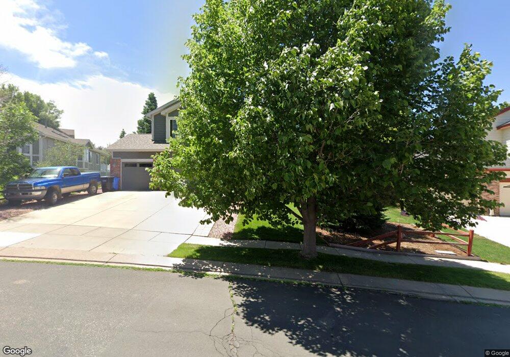
6690 Bitterroot Dr Colorado Springs, CO 80923
Norwood NeighborhoodEstimated Value: $652,000 - $718,000
5
Beds
4
Baths
3,780
Sq Ft
$179/Sq Ft
Est. Value
About This Home
This home is located at 6690 Bitterroot Dr, Colorado Springs, CO 80923 and is currently estimated at $677,752, approximately $179 per square foot. 6690 Bitterroot Dr is a home located in El Paso County with nearby schools including Martinez Elementary School, Jenkins Middle School, and Doherty High School.
Ownership History
Date
Name
Owned For
Owner Type
Purchase Details
Closed on
Apr 20, 2016
Sold by
Robinson Robert S and Robinson Deborah A
Bought by
Divine Noah and Divine Julie
Current Estimated Value
Home Financials for this Owner
Home Financials are based on the most recent Mortgage that was taken out on this home.
Original Mortgage
$304,000
Outstanding Balance
$241,509
Interest Rate
3.68%
Mortgage Type
New Conventional
Estimated Equity
$436,243
Purchase Details
Closed on
Jul 26, 2011
Sold by
Robinson Robert S and Robinson Deborah A
Bought by
Robinson Robert S and Robinson Deborah A
Purchase Details
Closed on
Mar 9, 2001
Sold by
U S Home Corp
Bought by
Robinson Robert S and Robinson Deborah A
Home Financials for this Owner
Home Financials are based on the most recent Mortgage that was taken out on this home.
Original Mortgage
$203,000
Interest Rate
7.1%
Mortgage Type
VA
Create a Home Valuation Report for This Property
The Home Valuation Report is an in-depth analysis detailing your home's value as well as a comparison with similar homes in the area
Home Values in the Area
Average Home Value in this Area
Purchase History
| Date | Buyer | Sale Price | Title Company |
|---|---|---|---|
| Divine Noah | $380,000 | Legacy Title Group Llc | |
| Robinson Robert S | -- | None Available | |
| Robinson Robert S | $249,995 | North American Title |
Source: Public Records
Mortgage History
| Date | Status | Borrower | Loan Amount |
|---|---|---|---|
| Open | Divine Noah | $304,000 | |
| Previous Owner | Robinson Robert S | $203,000 |
Source: Public Records
Tax History Compared to Growth
Tax History
| Year | Tax Paid | Tax Assessment Tax Assessment Total Assessment is a certain percentage of the fair market value that is determined by local assessors to be the total taxable value of land and additions on the property. | Land | Improvement |
|---|---|---|---|---|
| 2025 | $2,460 | $46,970 | -- | -- |
| 2024 | $2,337 | $45,770 | $5,530 | $40,240 |
| 2023 | $2,337 | $45,770 | $5,530 | $40,240 |
| 2022 | $2,040 | $34,060 | $4,900 | $29,160 |
| 2021 | $2,206 | $35,040 | $5,040 | $30,000 |
| 2020 | $2,069 | $28,810 | $4,380 | $24,430 |
| 2019 | $2,058 | $28,810 | $4,380 | $24,430 |
| 2018 | $1,994 | $25,790 | $4,410 | $21,380 |
| 2017 | $1,894 | $25,790 | $4,410 | $21,380 |
| 2016 | $1,613 | $26,050 | $4,480 | $21,570 |
| 2015 | $1,607 | $26,050 | $4,480 | $21,570 |
| 2014 | $1,518 | $23,680 | $4,480 | $19,200 |
Source: Public Records
Map
Nearby Homes
- 6515 Medicine Springs Dr
- 6662 Barrel Race Dr
- 6463 Bluffmont Point
- 4224 Mesa Overlook Point
- 4431 Flat Top Place
- 4229 High Timberline View
- 4217 High Timberline View
- 6565 Baytree Grove
- 4543 Clark Fork Place
- 4265 Dolphin Cir
- 5745 Doe Skin Ct
- 4718 Rowland Heights
- 6315 Andersen Mill Heights Unit 206
- 6557 Many Moon Dr
- 4790 Wells Branch Heights Unit 204
- 4735 Seton Place
- 3928 Diamond Ridge View
- 6243 Fowler Mill Point
- 5739 Wells Fargo Dr E
- 6030 Barnacle Ct
- 6672 Bitterroot Dr
- 6708 Bitterroot Dr
- 6693 Oasis Butte Dr
- 6665 Oasis Butte Dr
- 6654 Bitterroot Dr
- 6527 Medicine Springs Dr
- 6726 Bitterroot Dr
- 6637 Oasis Butte Dr
- 6528 Medicine Springs Dr
- 6749 Oasis Butte Dr
- 6671 Bitterroot Dr
- 6609 Oasis Butte Dr
- 6725 Bitterroot Dr
- 6777 Oasis Butte Dr
- 6744 Bitterroot Dr
- 6636 Bitterroot Dr
- 6635 Bitterroot Dr
- 6581 Oasis Butte Dr
- 6762 Bitterroot Dr
- 6617 Bitterroot Dr