6690 N Baltimore Rd Monrovia, IN 46157
Estimated Value: $528,000 - $1,370,225
5
Beds
6
Baths
2,664
Sq Ft
$376/Sq Ft
Est. Value
About This Home
This home is located at 6690 N Baltimore Rd, Monrovia, IN 46157 and is currently estimated at $1,001,408, approximately $375 per square foot. 6690 N Baltimore Rd is a home located in Morgan County with nearby schools including Monrovia Elementary School, Monrovia Middle School, and Monrovia High School.
Ownership History
Date
Name
Owned For
Owner Type
Purchase Details
Closed on
Jan 30, 2023
Sold by
Aubrey Cary R and Aubrey Sarah B
Bought by
Plum Valley Estates Llc
Current Estimated Value
Purchase Details
Closed on
Jul 19, 2010
Sold by
Ebert Anita A
Bought by
Aubrey Cary R and Aubrey Sarah B
Home Financials for this Owner
Home Financials are based on the most recent Mortgage that was taken out on this home.
Original Mortgage
$500,000
Interest Rate
4.74%
Mortgage Type
Future Advance Clause Open End Mortgage
Create a Home Valuation Report for This Property
The Home Valuation Report is an in-depth analysis detailing your home's value as well as a comparison with similar homes in the area
Home Values in the Area
Average Home Value in this Area
Purchase History
| Date | Buyer | Sale Price | Title Company |
|---|---|---|---|
| Plum Valley Estates Llc | $1,320,000 | Chicago Title Co | |
| Aubrey Cary R | -- | -- |
Source: Public Records
Mortgage History
| Date | Status | Borrower | Loan Amount |
|---|---|---|---|
| Previous Owner | Aubrey Cary R | $500,000 |
Source: Public Records
Tax History Compared to Growth
Tax History
| Year | Tax Paid | Tax Assessment Tax Assessment Total Assessment is a certain percentage of the fair market value that is determined by local assessors to be the total taxable value of land and additions on the property. | Land | Improvement |
|---|---|---|---|---|
| 2024 | $12,005 | $1,003,500 | $315,200 | $688,300 |
| 2023 | $4,292 | $714,500 | $71,800 | $642,700 |
| 2022 | $4,005 | $659,500 | $61,000 | $598,500 |
| 2021 | $3,343 | $589,800 | $46,500 | $543,300 |
| 2020 | $3,029 | $556,800 | $46,400 | $510,400 |
| 2019 | $3,108 | $558,600 | $48,200 | $510,400 |
| 2018 | $2,837 | $521,000 | $42,600 | $478,400 |
| 2017 | $2,845 | $516,700 | $45,600 | $471,100 |
| 2016 | $2,719 | $490,800 | $40,200 | $450,600 |
| 2014 | $2,231 | $443,000 | $30,400 | $412,600 |
| 2013 | $2,231 | $444,500 | $29,400 | $415,100 |
Source: Public Records
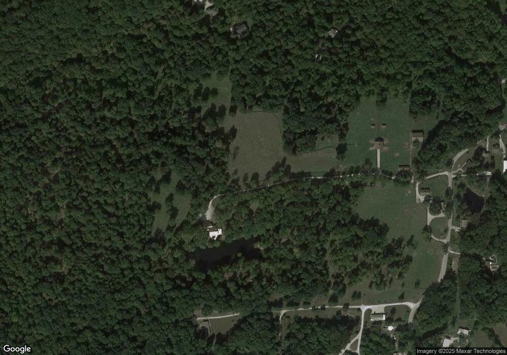
Map
Nearby Homes
- 4585 W Bent Branch Ln
- 7299 N Baltimore Rd
- 7305 N Baltimore Rd
- 6538 N Tutterow Rd
- 0000 N Briarhopper Rd
- 3325 Kivett Ln
- 3545 Whippoorwill Lake Dr N
- 6377 N Tutterow Rd
- 4976 W Sims Ln
- 3435 Whippoorwill Lake North Dr
- 8165 Cindy Cir
- 3815 Briar Ridge
- 8161 Cindy Cir
- 8181 Cindy Cir
- 8032 Joni Ave
- 49 Joni Ave
- 0 Upper Patton Park Rd Unit MBR22011580
- 2275 Brandywine Ln
- 8155 Brittany Ct
- 5245 Upper Patton Park Rd
- 3567 W Bailiwick Ln
- 3543 W Bailiwick Ln
- 6855 N Baltimore Woodland Dr
- 6855 N Baltimore Woodland Dr
- 6860 N Baltimore Woodland Dr
- 6465 N Kivett Rd
- 6680 N Baltimore Rd
- 6538 N Baltimore Rd
- 3481 W Baltimore Woodland S
- 6661 N Baltimore Rd
- 6539 N Baltimore Rd
- 6697 N Baltimore Rd
- 6641 N Baltimore Rd
- 3481 W Baltimore Woodland N
- 3400 W Baltimore Woodland N
- 6880 N Baltimore Woodland Ln
- 6731 N Baltimore Rd
- 6891 N Baltimore Woodland Ln
- 6753 N Baltimore Rd
- 6429 N Kivett Rd