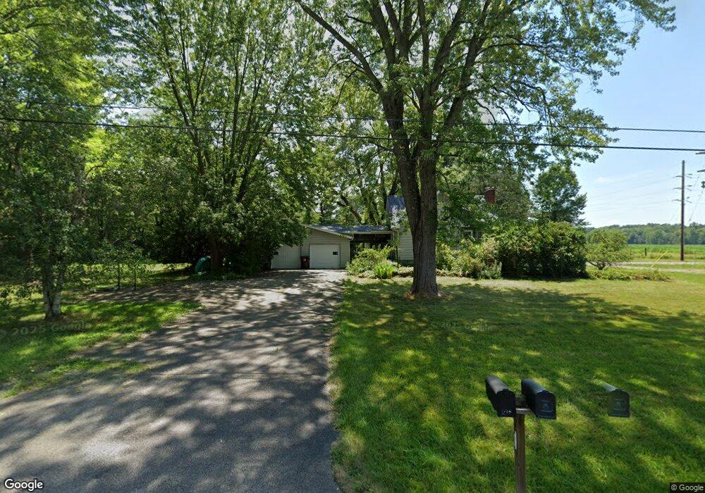
6690 State Route 305 Fowler, OH 44418
Estimated Value: $184,190 - $267,000
4
Beds
2
Baths
1,480
Sq Ft
$145/Sq Ft
Est. Value
About This Home
This home is located at 6690 State Route 305, Fowler, OH 44418 and is currently estimated at $215,048, approximately $145 per square foot. 6690 State Route 305 is a home located in Trumbull County with nearby schools including Badger Elementary School, Badger Middle School, and Badger High School.
Ownership History
Date
Name
Owned For
Owner Type
Purchase Details
Closed on
Nov 23, 1994
Sold by
Tidd Harry L
Bought by
Saddler James R and Saddler Deborah J
Current Estimated Value
Home Financials for this Owner
Home Financials are based on the most recent Mortgage that was taken out on this home.
Original Mortgage
$59,415
Interest Rate
9%
Mortgage Type
New Conventional
Purchase Details
Closed on
Jan 1, 1990
Bought by
Harry L Tidd
Create a Home Valuation Report for This Property
The Home Valuation Report is an in-depth analysis detailing your home's value as well as a comparison with similar homes in the area
Purchase History
| Date | Buyer | Sale Price | Title Company |
|---|---|---|---|
| Saddler James R | $69,900 | -- | |
| Harry L Tidd | -- | -- |
Source: Public Records
Mortgage History
| Date | Status | Borrower | Loan Amount |
|---|---|---|---|
| Closed | Saddler James R | $59,415 |
Source: Public Records
Tax History
| Year | Tax Paid | Tax Assessment Tax Assessment Total Assessment is a certain percentage of the fair market value that is determined by local assessors to be the total taxable value of land and additions on the property. | Land | Improvement |
|---|---|---|---|---|
| 2025 | $1,697 | $50,120 | $6,090 | $44,030 |
| 2024 | $1,697 | $50,120 | $6,090 | $44,030 |
| 2023 | $1,728 | $50,120 | $6,090 | $44,030 |
| 2022 | $1,437 | $39,030 | $5,530 | $33,500 |
| 2021 | $1,437 | $39,030 | $5,530 | $33,500 |
| 2020 | $1,864 | $39,030 | $5,530 | $33,500 |
| 2019 | $1,738 | $34,230 | $5,110 | $29,120 |
| 2018 | $1,742 | $34,230 | $5,110 | $29,120 |
| 2017 | $1,738 | $34,230 | $5,110 | $29,120 |
| 2016 | $1,580 | $31,290 | $5,110 | $26,180 |
| 2015 | $1,516 | $31,290 | $5,110 | $26,180 |
| 2014 | $1,092 | $31,290 | $5,110 | $26,180 |
| 2013 | $1,147 | $31,290 | $5,110 | $26,180 |
Source: Public Records
Map
Nearby Homes
- 4191 Custer Orangeville Rd NE
- 2486 Waynewood Dr NE
- 1829 State Route 7 NE
- 3912 Orangeville Rd
- 7529 State Line
- 4875 Cadwallader-Sonk Rd
- 37 Carlisle Rd
- 5013 King-Graves Rd
- 4474 Wilson Sharpsville Rd
- 5122 Orangeville Kinsman Rd
- 0 Warner Rd
- 0 Orangeville Rd
- 171 Brook Dr
- 5321 Sodom Hutchings Rd
- 864 Valley View Dr
- 7085 Sunnydell Dr
- 101 Columbus St
- 1739 N Water Ave
- 461 Grove St
- 425 Grove St
- 6689 Ohio 305
- 6658 State Route 305
- 6709 Wilson Sharpsville Rd
- 6709 State Route 305
- 6697 State Route 305
- 6719 State Route 305
- 6729 State Route 305
- 6739 State Route 305
- 6755 State Route 305
- 6779 State Route 305
- 6598 State Route 305
- 6804 State Route 305
- 6579 State Route 305
- 6789 State Route 305
- 6813 State Route 305
- 6830 State Route 305
- 6841 State Route 305
- 6522 State Route 305
- 6869 Wilson Sharpsville
- 6953 Wilson Sharpsville Rd
Your Personal Tour Guide
Ask me questions while you tour the home.