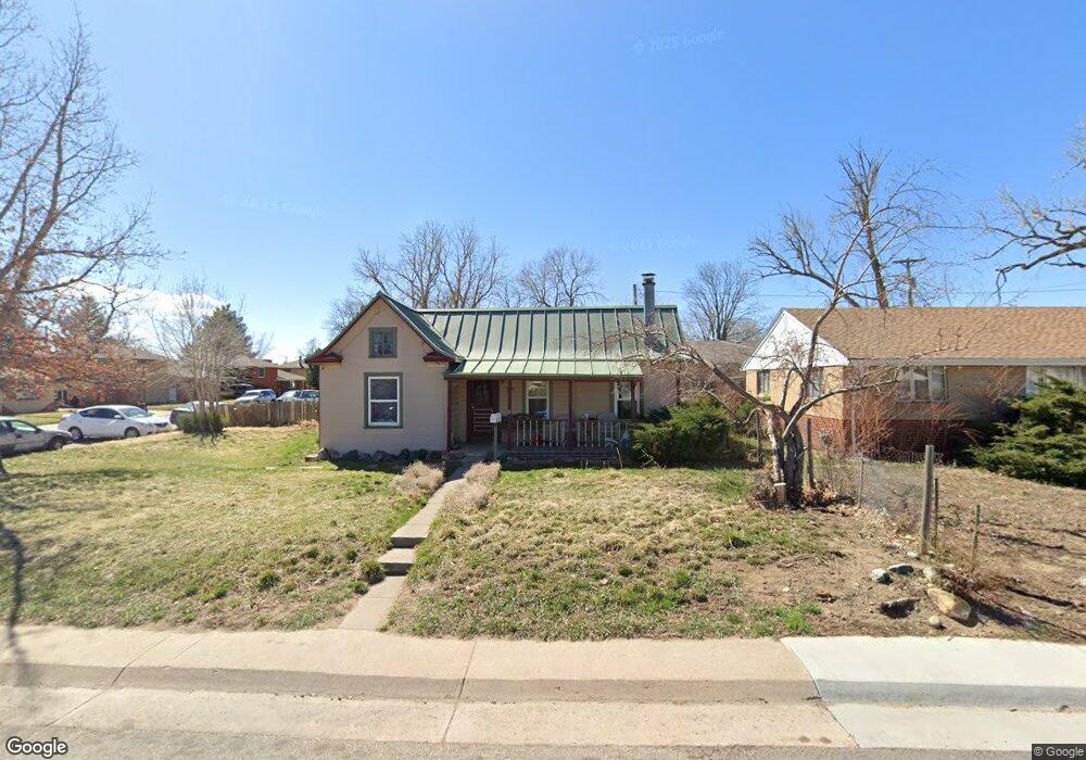
6690 W 55th Ave Arvada, CO 80002
Estimated Value: $443,000 - $520,000
About This Home
This home is located at 6690 W 55th Ave, Arvada, CO 80002 and is currently estimated at $474,133, approximately $435 per square foot. 6690 W 55th Ave is a home located in Jefferson County with nearby schools including Secrest Elementary School, North Arvada Middle School, and Arvada High School.
Ownership History
We collect this data history from publicly available records. To have your information removed, we recommend requesting removal directly through your county’s website.
Purchase Details
Home Financials for this Owner
Home Financials are based on the most recent Mortgage that was taken out on this home.Purchase Details
Home Financials for this Owner
Home Financials are based on the most recent Mortgage that was taken out on this home.Purchase Details
Home Financials for this Owner
Home Financials are based on the most recent Mortgage that was taken out on this home.Purchase History
We collect this data history from publicly available records. To have your information removed, we recommend requesting removal directly through your county’s website.
| Date | Buyer | Sale Price | Title Company |
|---|---|---|---|
| $162,500 | First American Heritage Titl | ||
| $136,000 | Land Title Guarantee Company | ||
| $79,950 | Land Title |
Mortgage History
We collect this data history from publicly available records. To have your information removed, we recommend requesting removal directly through your county’s website.
| Date | Status | Borrower | Loan Amount |
|---|---|---|---|
| Open | $146,250 | ||
| Previous Owner | $131,900 | ||
| Previous Owner | $75,950 |
Tax History
We collect this data history from publicly available records. To have your information removed, we recommend requesting removal directly through your county’s website.
| Year | Tax Paid | Tax Assessment Tax Assessment Total Assessment is a certain percentage of the fair market value that is determined by local assessors to be the total taxable value of land and additions on the property. | Land | Improvement |
|---|---|---|---|---|
| 2025 | $2,947 | $27,836 | $14,114 | $13,722 |
| 2024 | $2,791 | $28,008 | $14,307 | $13,701 |
| 2023 | $2,791 | $28,008 | $14,307 | $13,701 |
| 2022 | $2,332 | $23,256 | $10,525 | $12,731 |
| 2021 | $2,366 | $23,925 | $10,828 | $13,097 |
| 2020 | $2,133 | $21,592 | $9,757 | $11,835 |
| 2019 | $2,105 | $21,592 | $9,757 | $11,835 |
| 2018 | $1,612 | $16,070 | $6,129 | $9,941 |
| 2017 | $1,478 | $16,070 | $6,129 | $9,941 |
| 2016 | $1,381 | $14,128 | $5,276 | $8,852 |
| 2015 | $1,179 | $14,128 | $5,276 | $8,852 |
| 2014 | $1,179 | $11,336 | $4,872 | $6,464 |
Map
- 5525 Pierce Ct
- 6900 W 55th Place
- 6865 W 55th Place
- 6940 W 55th Place
- 6935 W 55th Place
- 6937 W 53rd Place
- 6930 W 54th Ave
- 5246 Pierce St
- 6799 W 52nd Ave
- 6510 Ralston Rd
- 5275 Ingalls St
- 7357 Grandview Ave Unit 202
- 7357 Grandview Ave Unit 203
- 5220 Ingalls St
- 5460 Harlan St Unit 38
- 5975 Newland St
- 7303 W 59th Ave
- 7607 Ralston Rd
- 7931 W 55th Ave Unit 112
- 6420 W 60th Place
- 6700R W 55th Ave
- 5465 Otis St
- 6735 Columbine Dr
- 6740 W 55th Ave
- 6680 W 55th Ave
- 5480 Otis St
- 5505 Otis Ct
- 5470 Otis St
- 6745 Columbine Dr
- 5500 Otis Ct
- 6750 W 55th Ave
- 5500 Pierce Ct
- 5460 Otis St
- 5515 Otis Ct
- 6755 Columbine Dr
- 6600 W 55th Ave
- 5485 Nolan St
- 5510 Otis Ct
- 6720 Columbine Dr
- 5510 Pierce Ct
Ask me questions while you tour the home.