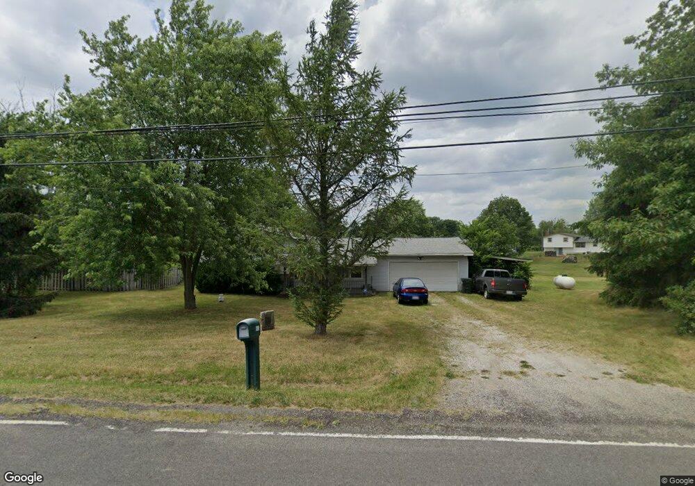
6693 Meese Rd NE Alliance, OH 44601
Estimated Value: $172,000 - $190,000
3
Beds
1
Bath
1,144
Sq Ft
$158/Sq Ft
Est. Value
About This Home
This home is located at 6693 Meese Rd NE, Alliance, OH 44601 and is currently estimated at $180,250, approximately $157 per square foot. 6693 Meese Rd NE is a home located in Stark County with nearby schools including Louisville High School.
Ownership History
Date
Name
Owned For
Owner Type
Purchase Details
Closed on
Jun 3, 2019
Sold by
Needs Michael Ray and Needs Renee Gail
Bought by
Needs Michael J and Chapman Rebecca L
Current Estimated Value
Create a Home Valuation Report for This Property
The Home Valuation Report is an in-depth analysis detailing your home's value as well as a comparison with similar homes in the area
Home Values in the Area
Average Home Value in this Area
Purchase History
| Date | Buyer | Sale Price | Title Company |
|---|---|---|---|
| Needs Michael J | -- | None Available |
Source: Public Records
Tax History Compared to Growth
Tax History
| Year | Tax Paid | Tax Assessment Tax Assessment Total Assessment is a certain percentage of the fair market value that is determined by local assessors to be the total taxable value of land and additions on the property. | Land | Improvement |
|---|---|---|---|---|
| 2025 | -- | $43,230 | $11,730 | $31,500 |
| 2024 | -- | $43,230 | $11,730 | $31,500 |
| 2023 | $1,567 | $41,370 | $10,360 | $31,010 |
| 2022 | $1,593 | $41,370 | $10,360 | $31,010 |
| 2021 | $1,598 | $41,370 | $10,360 | $31,010 |
| 2020 | $1,377 | $38,440 | $9,350 | $29,090 |
| 2019 | $1,383 | $38,450 | $9,350 | $29,100 |
| 2018 | $1,379 | $38,450 | $9,350 | $29,100 |
| 2017 | $1,315 | $35,780 | $8,750 | $27,030 |
| 2016 | $1,283 | $35,710 | $8,750 | $26,960 |
| 2015 | $1,286 | $35,710 | $8,750 | $26,960 |
| 2014 | $1,154 | $31,130 | $7,630 | $23,500 |
| 2013 | $581 | $31,130 | $7,630 | $23,500 |
Source: Public Records
Map
Nearby Homes
- 5990 Meese Rd NE
- 6109 Oakhill Ave NE
- 5765 Maplegrove St
- 12222 Cenfield St NE
- 5495 Meese Rd NE
- 6052 N Nickelplate St
- 0 Valewood Cir Unit 5006281
- 2435 Queensbury Rd
- 2851 Patriots Path Unit 3D
- 0 Easton St NE
- 2015 E Main St
- 13881 Salem Church St NE
- 0 Moulin Ave NE
- 2377 Ansley St Unit 2377
- 7844 Morningstar Dr
- 5869 Beechwood Ave
- 0 Reeder Ave NE
- 1445 Washington Blvd
- 13479 Louisville St NE
- 910 Crosswyck Cir
- 6688 Meese Rd NE
- 10870 Easton St NE
- 10960 Easton St NE
- 10875 Easton St NE
- 10981 Easton St NE
- 10805 Easton St NE
- 6701 Parks Ave NE
- 10755 Easton St NE
- 6567 Parks Ave NE
- 10684 Easton St NE
- 10674 Easton St NE
- 10705 Easton St NE
- 11104 Easton St NE
- 6897 Parks Ave NE
- 6511 Parks Ave NE
- 6925 Parks Ave NE
- 6522 Meese Rd NE
- 10650 Easton St NE
- 6894 Parks Ave NE
- 6517 Meese Rd NE