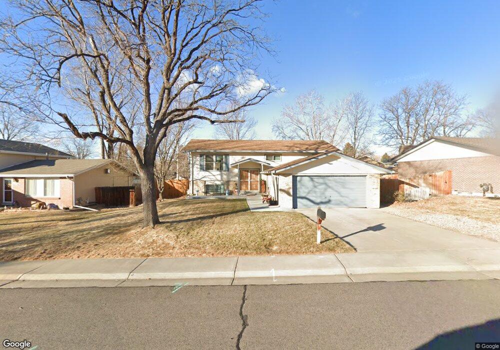
6695 Xenon Dr Arvada, CO 80004
Northwest Arvada NeighborhoodEstimated Value: $578,700 - $709,000
5
Beds
5
Baths
1,232
Sq Ft
$505/Sq Ft
Est. Value
About This Home
This home is located at 6695 Xenon Dr, Arvada, CO 80004 and is currently estimated at $621,925, approximately $504 per square foot. 6695 Xenon Dr is a home located in Jefferson County with nearby schools including Stott Elementary School, Oberon Middle School, and Arvada West High School.
Ownership History
Date
Name
Owned For
Owner Type
Purchase Details
Closed on
Jan 19, 2015
Sold by
Stamm Shelley L
Bought by
Shelley Stamm Trust
Current Estimated Value
Purchase Details
Closed on
Mar 15, 1995
Sold by
Barnes Bill L and Barnes Margaret Mary
Bought by
Stamm David B and Stamm Shelley L
Home Financials for this Owner
Home Financials are based on the most recent Mortgage that was taken out on this home.
Original Mortgage
$116,900
Interest Rate
7.62%
Create a Home Valuation Report for This Property
The Home Valuation Report is an in-depth analysis detailing your home's value as well as a comparison with similar homes in the area
Home Values in the Area
Average Home Value in this Area
Purchase History
| Date | Buyer | Sale Price | Title Company |
|---|---|---|---|
| Shelley Stamm Trust | -- | None Available | |
| Stamm David B | $129,900 | -- |
Source: Public Records
Mortgage History
| Date | Status | Borrower | Loan Amount |
|---|---|---|---|
| Closed | Stamm David B | $116,900 |
Source: Public Records
Tax History Compared to Growth
Tax History
| Year | Tax Paid | Tax Assessment Tax Assessment Total Assessment is a certain percentage of the fair market value that is determined by local assessors to be the total taxable value of land and additions on the property. | Land | Improvement |
|---|---|---|---|---|
| 2024 | $2,828 | $35,858 | $14,822 | $21,036 |
| 2023 | $2,828 | $35,858 | $14,822 | $21,036 |
| 2022 | $2,138 | $28,777 | $12,029 | $16,748 |
| 2021 | $2,865 | $29,605 | $12,375 | $17,230 |
| 2020 | $2,751 | $28,507 | $11,600 | $16,907 |
| 2019 | $2,714 | $28,507 | $11,600 | $16,907 |
| 2018 | $2,256 | $23,039 | $5,972 | $17,067 |
| 2017 | $2,065 | $23,039 | $5,972 | $17,067 |
| 2016 | $2,172 | $22,824 | $5,527 | $17,297 |
| 2015 | $1,990 | $22,824 | $5,527 | $17,297 |
| 2014 | $1,990 | $19,659 | $4,384 | $15,275 |
Source: Public Records
Map
Nearby Homes
- 6616 Zang Cir
- 6440 Wright St
- 12924 W 64th Dr Unit B
- 6416 Zang Ct
- 13155 W 63rd Place
- 6762 Beech Dr
- 13432 W 65th Place
- 13553 W 65th Place
- 13245 W 63rd Cir
- 7049 Van Gordon Ct
- 11925 W 66th Place Unit B
- 13755 W 65th Dr
- 6537 Coors St
- 11820 W 66th Place Unit A
- 7154 Welch Ct
- 13168 W 62nd Dr
- 13304 W 70th Place
- 13812 W 64th Place
- 7004 Beech Ct
- 12976 W 61st Cir
- 6703 Xenon Dr
- 6760 Youngfield Ct
- 6770 Youngfield Ct
- 6711 Xenon Dr
- 6687 Xenon Dr
- 6692 Xenon Dr
- 12660 W 67th Place
- 6680 Youngfield Cir
- 12655 W 66th Place
- 6750 Youngfield Ct
- 6684 Xenon Dr
- 6713 Xenon Dr
- 6670 Youngfield Cir
- 6683 Xenon Dr
- 6765 Youngfield Ct
- 12665 W 67th Place
- 12650 W 67th Place
- 6675 Youngfield Cir
- 12645 W 66th Cir
- 6721 Xenon Dr