Estimated Value: $746,000 - $898,000
3
Beds
2
Baths
1,704
Sq Ft
$484/Sq Ft
Est. Value
About This Home
This home is located at 66954 Central St, Bend, OR 97701 and is currently estimated at $824,933, approximately $484 per square foot. 66954 Central St is a home located in Deschutes County with nearby schools including Sisters Elementary School, Sisters Middle School, and Sisters High School.
Ownership History
Date
Name
Owned For
Owner Type
Purchase Details
Closed on
Oct 6, 2021
Sold by
Deering Mariann M
Bought by
Deering Mariann M and Deering Mariamnn M
Current Estimated Value
Purchase Details
Closed on
Oct 17, 2005
Sold by
Cunetto Cano Debra A
Bought by
Deering Mariann M
Home Financials for this Owner
Home Financials are based on the most recent Mortgage that was taken out on this home.
Original Mortgage
$296,800
Outstanding Balance
$157,557
Interest Rate
5.63%
Mortgage Type
Fannie Mae Freddie Mac
Estimated Equity
$667,376
Purchase Details
Closed on
Aug 25, 2004
Sold by
Temple Dodd Barbara L
Bought by
Cunetto Cano Debra A
Home Financials for this Owner
Home Financials are based on the most recent Mortgage that was taken out on this home.
Original Mortgage
$208,000
Interest Rate
7.5%
Mortgage Type
New Conventional
Create a Home Valuation Report for This Property
The Home Valuation Report is an in-depth analysis detailing your home's value as well as a comparison with similar homes in the area
Home Values in the Area
Average Home Value in this Area
Purchase History
| Date | Buyer | Sale Price | Title Company |
|---|---|---|---|
| Deering Mariann M | -- | None Available | |
| Deering Mariann M | $371,000 | Deschutes County Title Co | |
| Cunetto Cano Debra A | $260,000 | First Amer Title Ins Co Or |
Source: Public Records
Mortgage History
| Date | Status | Borrower | Loan Amount |
|---|---|---|---|
| Open | Deering Mariann M | $296,800 | |
| Previous Owner | Cunetto Cano Debra A | $208,000 | |
| Closed | Cunetto Cano Debra A | $52,000 |
Source: Public Records
Tax History Compared to Growth
Tax History
| Year | Tax Paid | Tax Assessment Tax Assessment Total Assessment is a certain percentage of the fair market value that is determined by local assessors to be the total taxable value of land and additions on the property. | Land | Improvement |
|---|---|---|---|---|
| 2024 | $4,922 | $272,950 | -- | -- |
| 2023 | $4,779 | $265,000 | $0 | $0 |
| 2022 | $4,350 | $249,800 | $0 | $0 |
| 2021 | $4,189 | $242,530 | $0 | $0 |
| 2020 | $3,989 | $242,530 | $0 | $0 |
| 2019 | $3,889 | $235,470 | $0 | $0 |
| 2018 | $3,786 | $228,620 | $0 | $0 |
| 2017 | $3,658 | $221,970 | $0 | $0 |
| 2016 | $3,590 | $215,510 | $0 | $0 |
| 2015 | $3,386 | $209,240 | $0 | $0 |
| 2014 | $3,194 | $203,150 | $0 | $0 |
Source: Public Records
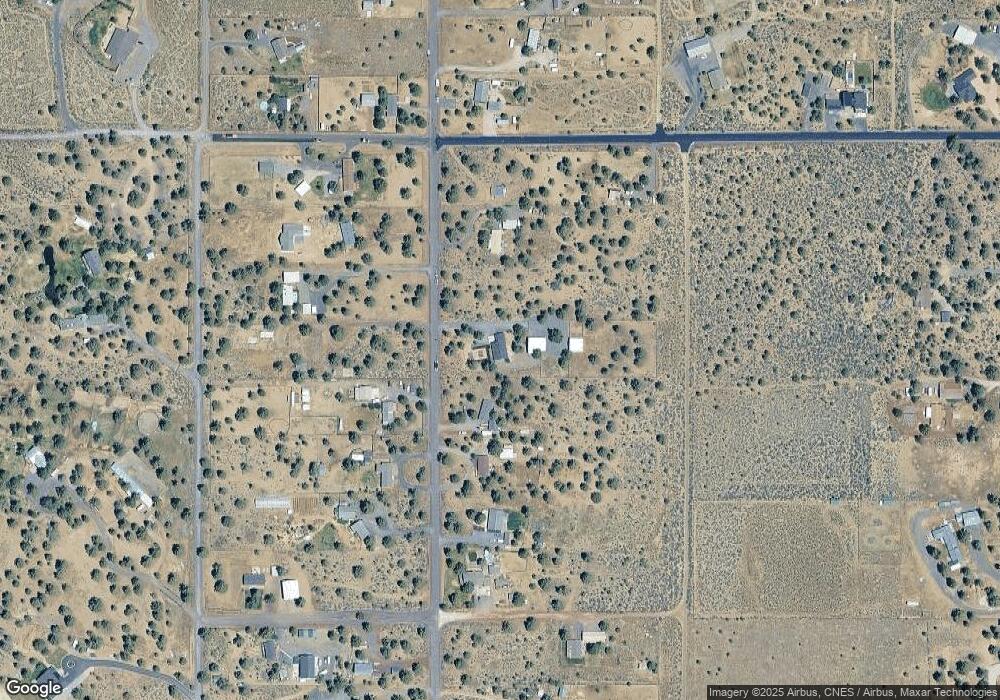
Map
Nearby Homes
- 66945 Central St
- 66880 Central St
- 18180 2nd Ave
- 67076 Sunburst St
- 67134 Central St
- 67100 Fryrear Rd
- 17940 4th Ave
- 66920 Fryrear Rd
- 17845 Plainview Rd
- 66985 Lance Rd
- 17949 Cascade Estates Dr
- 66985 Rock Island Ln
- 17644 Cascade Estates Dr
- 17450 Star Thistle Ln
- 66488 Sisemore Rd
- 67480 Cloverdale Rd
- 67276 Gist Rd
- 67216 Gist Rd
- 16958 Varco Rd
- 67205 Bass Ln