6698 Embassy Ct Unit C10 Maumee, OH 43537
Estimated Value: $208,428 - $219,000
2
Beds
2
Baths
1,662
Sq Ft
$129/Sq Ft
Est. Value
About This Home
This home is located at 6698 Embassy Ct Unit C10, Maumee, OH 43537 and is currently estimated at $214,357, approximately $128 per square foot. 6698 Embassy Ct Unit C10 is a home located in Lucas County with nearby schools including Holloway Elementary School, Springfield Middle School, and Springfield High School.
Ownership History
Date
Name
Owned For
Owner Type
Purchase Details
Closed on
May 25, 2005
Sold by
Ullom Philip L and Ullom Beth A
Bought by
Dennis Amie C
Current Estimated Value
Home Financials for this Owner
Home Financials are based on the most recent Mortgage that was taken out on this home.
Original Mortgage
$70,000
Outstanding Balance
$37,036
Interest Rate
6.07%
Mortgage Type
Fannie Mae Freddie Mac
Estimated Equity
$177,321
Purchase Details
Closed on
Nov 25, 2003
Sold by
Balser Roberta L
Bought by
Ullom Philip L and Ullom Beth A
Purchase Details
Closed on
Oct 2, 1998
Sold by
Balser Roberta L Trustee
Bought by
Balser Roberta L and Roberta L Balser Trust
Purchase Details
Closed on
May 1, 1998
Sold by
Balser Roberta L Trustee
Bought by
Balser Roberta
Create a Home Valuation Report for This Property
The Home Valuation Report is an in-depth analysis detailing your home's value as well as a comparison with similar homes in the area
Home Values in the Area
Average Home Value in this Area
Purchase History
| Date | Buyer | Sale Price | Title Company |
|---|---|---|---|
| Dennis Amie C | $175,000 | -- | |
| Ullom Philip L | $175,000 | Mta | |
| Balser Roberta L | -- | -- | |
| Balser Roberta | $113,000 | Louisville Title Agency For |
Source: Public Records
Mortgage History
| Date | Status | Borrower | Loan Amount |
|---|---|---|---|
| Open | Dennis Amie C | $70,000 |
Source: Public Records
Tax History Compared to Growth
Tax History
| Year | Tax Paid | Tax Assessment Tax Assessment Total Assessment is a certain percentage of the fair market value that is determined by local assessors to be the total taxable value of land and additions on the property. | Land | Improvement |
|---|---|---|---|---|
| 2024 | $1,915 | $72,905 | $3,500 | $69,405 |
| 2023 | $2,833 | $49,770 | $2,765 | $47,005 |
| 2022 | $2,858 | $49,770 | $2,765 | $47,005 |
| 2021 | $2,636 | $49,770 | $2,765 | $47,005 |
| 2020 | $3,340 | $46,515 | $2,800 | $43,715 |
| 2019 | $3,262 | $46,515 | $2,800 | $43,715 |
| 2018 | $3,214 | $46,515 | $2,800 | $43,715 |
| 2017 | $3,126 | $41,580 | $4,550 | $37,030 |
| 2016 | $3,155 | $118,800 | $13,000 | $105,800 |
| 2015 | $3,149 | $118,800 | $13,000 | $105,800 |
| 2014 | $2,918 | $41,580 | $4,550 | $37,030 |
| 2013 | $2,918 | $41,580 | $4,550 | $37,030 |
Source: Public Records
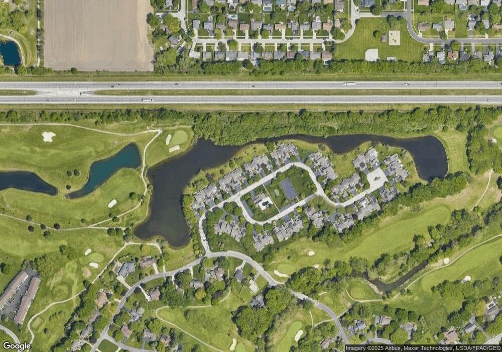
Map
Nearby Homes
- 6696 Embassy Ct Unit C11
- 6716 Embassy Ct Unit 8
- 6627 Embassy Ct Unit I38
- 6652 Sue Ln
- 2945 Byrnwyck W
- 6705 Garden Rd Unit 6705
- 6965 Fenwyck Rd Unit 6965
- 6833 Greentree Ln
- 7040 Country Creek Rd
- 6917 Greentree Ln
- 6524 Glenhurst Dr
- 3008 Pleasant Hill Rd
- 2425 Winding Creek Dr
- 6667 Echo Valley
- 6325 Millbrook Rd
- 3339 Swan Ridge Ln
- 6602 W Meadows Ln
- 6608 W Meadows Ln
- 6620 Pilliod Rd
- 2910 Setter Point Dr
- 6714 Embassy Ct Unit B9
- 6714 Embassy Ct Unit 9
- 6694 Embassy Ct Unit C12
- 6716 Embassy Ct Unit B8
- 6720 Embassy Ct Unit B7
- 6720 Embassy Ct Unit 7
- 6690 Embassy Ct Unit C13
- 6724 Embassy Ct Unit B6
- 6684 Embassy Ct Unit D14
- 6684 Embassy Ct Unit D-14
- 6682 Embassy Ct Unit D15
- 6726 Embassy Ct Unit A5
- 6678 Embassy Ct Unit D16
- 6717 Embassy Ct Unit O57
- 6723 Embassy Ct Unit O59
- 6734 Embassy Ct Unit A4
- 6734 Embassy Ct Unit 4
- 6719 Embassy Ct Unit O58
- 6683 Embassy Ct Unit M52