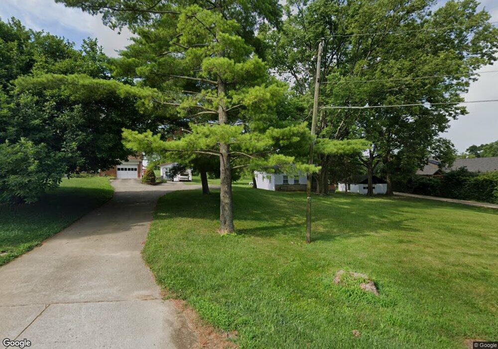
6698 Station Rd West Chester, OH 45069
West Chester Township NeighborhoodEstimated Value: $241,156 - $367,000
3
Beds
1
Bath
1,288
Sq Ft
$225/Sq Ft
Est. Value
About This Home
This home is located at 6698 Station Rd, West Chester, OH 45069 and is currently estimated at $289,789, approximately $224 per square foot. 6698 Station Rd is a home located in Butler County with nearby schools including Adena Elementary School, Lakota Ridge Junior School, and Lakota West High School.
Ownership History
Date
Name
Owned For
Owner Type
Purchase Details
Closed on
Feb 12, 2021
Sold by
Thompson Beverly A
Bought by
Jones Don and Jones Raynelle Marie
Current Estimated Value
Home Financials for this Owner
Home Financials are based on the most recent Mortgage that was taken out on this home.
Original Mortgage
$157,500
Outstanding Balance
$140,866
Interest Rate
2.7%
Mortgage Type
New Conventional
Estimated Equity
$148,923
Purchase Details
Closed on
Feb 18, 2002
Sold by
Thompson Rodney L and Thompson Beverly A
Bought by
Thompson Beverly A
Home Financials for this Owner
Home Financials are based on the most recent Mortgage that was taken out on this home.
Original Mortgage
$68,000
Interest Rate
7.62%
Mortgage Type
Purchase Money Mortgage
Purchase Details
Closed on
Sep 1, 1987
Create a Home Valuation Report for This Property
The Home Valuation Report is an in-depth analysis detailing your home's value as well as a comparison with similar homes in the area
Home Values in the Area
Average Home Value in this Area
Purchase History
| Date | Buyer | Sale Price | Title Company |
|---|---|---|---|
| Jones Don | $175,000 | First American Title | |
| Thompson Beverly A | $68,000 | -- | |
| -- | $38,500 | -- |
Source: Public Records
Mortgage History
| Date | Status | Borrower | Loan Amount |
|---|---|---|---|
| Open | Jones Don | $157,500 | |
| Previous Owner | Thompson Beverly A | $68,000 |
Source: Public Records
Tax History Compared to Growth
Tax History
| Year | Tax Paid | Tax Assessment Tax Assessment Total Assessment is a certain percentage of the fair market value that is determined by local assessors to be the total taxable value of land and additions on the property. | Land | Improvement |
|---|---|---|---|---|
| 2024 | $1,775 | $40,950 | $8,620 | $32,330 |
| 2023 | $1,728 | $40,950 | $8,620 | $32,330 |
| 2022 | $1,727 | $30,380 | $8,620 | $21,760 |
| 2021 | $1,556 | $29,340 | $8,620 | $20,720 |
| 2020 | $1,593 | $29,340 | $8,620 | $20,720 |
| 2019 | $2,406 | $25,110 | $8,630 | $16,480 |
| 2018 | $1,431 | $25,110 | $8,630 | $16,480 |
| 2017 | $1,456 | $25,110 | $8,630 | $16,480 |
| 2016 | $1,506 | $24,460 | $7,980 | $16,480 |
| 2015 | $1,495 | $24,460 | $7,980 | $16,480 |
| 2014 | $12,683 | $24,460 | $7,980 | $16,480 |
| 2013 | $12,683 | $34,230 | $8,670 | $25,560 |
Source: Public Records
Map
Nearby Homes
- 6724 Maverick Dr
- Palisades Plan at West Ridge
- Brentwood Plan at West Ridge
- Wilshire Plan at West Ridge
- Moorgate Plan at West Ridge - Noble
- Everton Plan at West Ridge - Noble
- Kingsmark Plan at West Ridge - Prestige
- 7053 Laurel Oaks Dr
- 6812 Cork Dr
- 6791 Cork Dr
- 8919 Eagleview Dr
- 8848 Oakcrest Way
- 8583 Kates Way
- 8859 Eagleview Dr
- 8831 Eagleview Dr
- 7194 Laurel Oaks Dr
- 8871 Timberchase Ct
- 9377 Dundee Dr
- 6592 Pullman Ct
- 7318 Hollywood Dr
- 6700 Station Rd
- 6693 Station Rd
- 6683 Station Rd
- 6677 Station Rd
- 6714 W Chester Rd
- 6714 W Chester Rd
- 6705 Station Rd
- 6710 W Chester Rd
- 6727 Station Rd
- 6667 Station Rd
- 6729 Station Rd
- 6657 Station Rd
- 6738 Station Rd
- 6647 Station Rd
- 6615 Station Rd
- 6751 Station Rd
- 6670 Station Rd
- 6771 Station Rd
- 6749 Station Rd
- 6712 Rose Mallow Dr Unit 6