6699 McMannis Riggs Rd Beverly, OH 45715
Estimated Value: $68,000 - $206,000
2
Beds
1
Bath
1,104
Sq Ft
$142/Sq Ft
Est. Value
About This Home
This home is located at 6699 McMannis Riggs Rd, Beverly, OH 45715 and is currently estimated at $156,333, approximately $141 per square foot. 6699 McMannis Riggs Rd is a home with nearby schools including Fort Frye High School.
Ownership History
Date
Name
Owned For
Owner Type
Purchase Details
Closed on
Jun 19, 2020
Sold by
Long Joseph A and Long Katie R
Bought by
Long Donnie A and Long Patricia A
Current Estimated Value
Purchase Details
Closed on
Jul 20, 2012
Sold by
Bruner Land Company Inc
Bought by
Long Joseph A and Long Katie R
Purchase Details
Closed on
Apr 21, 2008
Sold by
Harry & Doug Investments Llc
Bought by
Bruner Land Company Inc
Purchase Details
Closed on
Apr 6, 2004
Bought by
Harry & Doug Investments Llc
Create a Home Valuation Report for This Property
The Home Valuation Report is an in-depth analysis detailing your home's value as well as a comparison with similar homes in the area
Home Values in the Area
Average Home Value in this Area
Purchase History
| Date | Buyer | Sale Price | Title Company |
|---|---|---|---|
| Long Donnie A | $31,000 | None Available | |
| Long Donnie A | $31,000 | None Available | |
| Long Joseph A | $19,400 | None Available | |
| Bruner Land Company Inc | -- | -- | |
| Harry & Doug Investments Llc | -- | -- |
Source: Public Records
Tax History Compared to Growth
Tax History
| Year | Tax Paid | Tax Assessment Tax Assessment Total Assessment is a certain percentage of the fair market value that is determined by local assessors to be the total taxable value of land and additions on the property. | Land | Improvement |
|---|---|---|---|---|
| 2024 | $1,873 | $60,300 | $14,090 | $46,210 |
| 2023 | $1,873 | $58,520 | $12,000 | $46,520 |
| 2022 | $1,782 | $58,520 | $12,000 | $46,520 |
| 2021 | $1,577 | $51,470 | $12,000 | $39,470 |
| 2020 | $1,059 | $45,170 | $10,820 | $34,350 |
| 2019 | $1,441 | $45,170 | $10,820 | $34,350 |
| 2018 | $1,365 | $45,170 | $10,820 | $34,350 |
| 2017 | $1,263 | $40,702 | $10,675 | $30,027 |
| 2016 | $824 | $26,569 | $5,968 | $20,601 |
| 2015 | $541 | $16,874 | $5,968 | $10,906 |
| 2014 | $201 | $5,968 | $5,968 | $0 |
| 2013 | $351 | $4,795 | $4,795 | $0 |
Source: Public Records
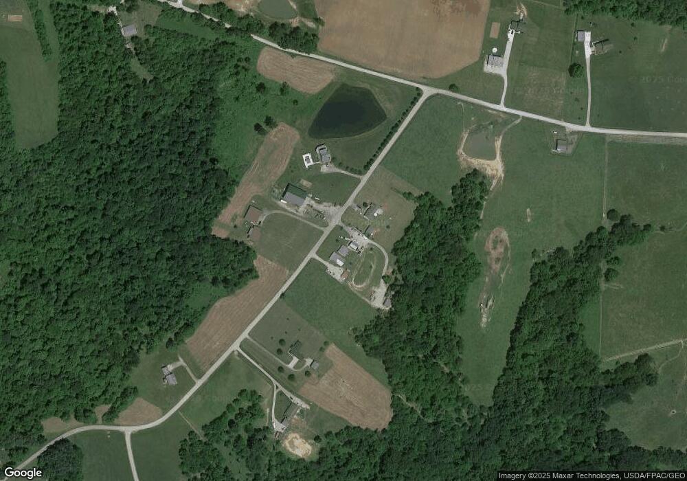
Map
Nearby Homes
- 0 Ogles Ridge Rd Unit 5155233
- 0 Ogles Ridge Rd Unit 11570286
- 5855 Olney Run Rd
- 1550 Swift Rd
- 590 Stony Run Rd
- 1240 Hayesville Rd
- 6550 N State Route 78 NE
- 2680 Mummey Rd
- 21870 State Route 339
- 6 Spring St
- 3130 Ohio 266
- 200 Pennock Dr Unit Lot 37
- 4 Center St
- 717 Mitchell Ave
- 5 Center St
- 206 4th St
- 500 Applegate Dr
- 3 Center St
- 0 Ohio 339
- 2444 Ervin Ln
- 6715 E McMannis Riggs Rd
- 6715 McMannis Riggs Rd
- 6633 McMannis Riggs Rd
- 6705 McMannis Riggs Rd
- 6615 McMannis Riggs Rd
- 6680 McMannis Riggs Rd
- 6860 McMannis Riggs Rd
- 6600 McMannis Riggs Rd
- 6980 McMannis Riggs Rd
- 6545 McMannis Riggs Rd
- 7045 McMannis Riggs Rd
- 6611 Rex Dr
- 2193 Hackney Rd
- 6568 McMannis Riggs Rd
- 6454 McMannis Riggs Rd
- 6445 Rex Dr
- 6435 McMannis Riggs Rd
- 2020 Hackney Rd
- 6411 McMannis Riggs Rd
- 6480 Rex Dr