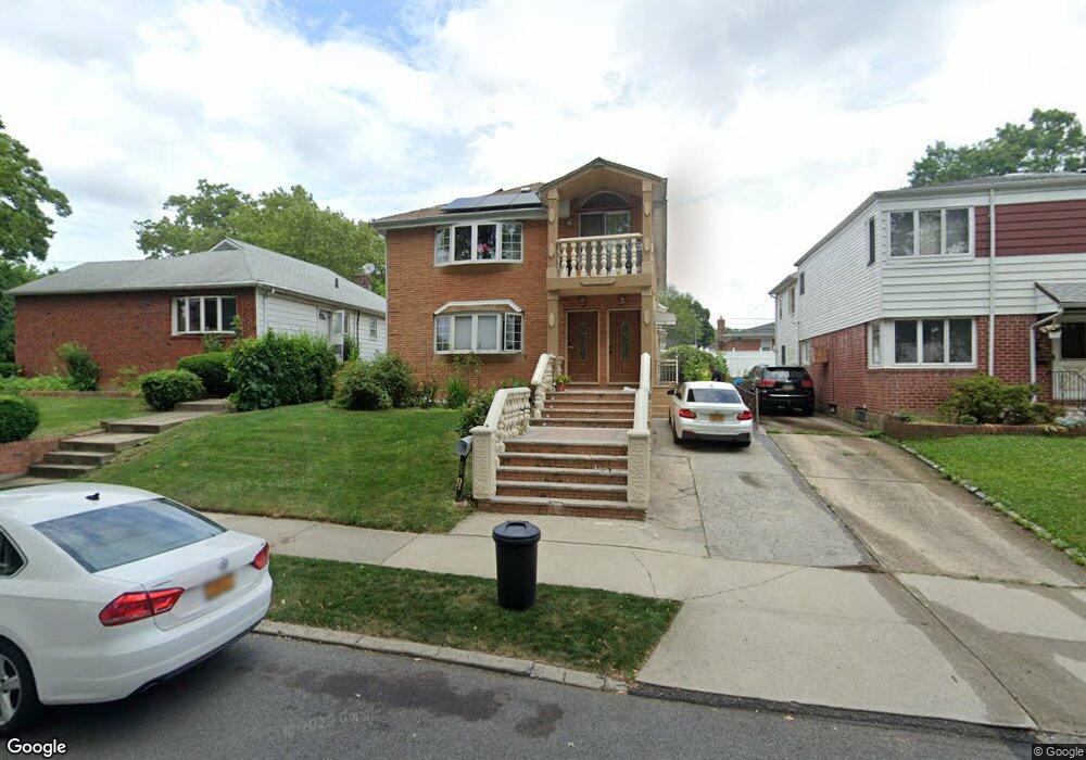
67-07 211th St Unit 2 Bayside, NY 11364
Oakland Gardens NeighborhoodEstimated Value: $1,493,710 - $1,739,000
3
Beds
2
Baths
2,560
Sq Ft
$630/Sq Ft
Est. Value
About This Home
This home is located at 67-07 211th St Unit 2, Bayside, NY 11364 and is currently estimated at $1,612,678, approximately $629 per square foot. 67-07 211th St Unit 2 is a home located in Queens County with nearby schools including P.S. 46 - Alley Pond, Nathaniel Hawthorne Middle School 74, and Benjamin N Cardozo High School.
Ownership History
Date
Name
Owned For
Owner Type
Purchase Details
Closed on
May 14, 1997
Sold by
Lustig Jeffrey and Lustig Daniel
Bought by
Ali Syed W and Ali Urooj N
Current Estimated Value
Home Financials for this Owner
Home Financials are based on the most recent Mortgage that was taken out on this home.
Original Mortgage
$145,600
Interest Rate
7.81%
Create a Home Valuation Report for This Property
The Home Valuation Report is an in-depth analysis detailing your home's value as well as a comparison with similar homes in the area
Home Values in the Area
Average Home Value in this Area
Purchase History
| Date | Buyer | Sale Price | Title Company |
|---|---|---|---|
| Ali Syed W | $182,000 | -- |
Source: Public Records
Mortgage History
| Date | Status | Borrower | Loan Amount |
|---|---|---|---|
| Previous Owner | Ali Syed W | $145,600 |
Source: Public Records
Tax History Compared to Growth
Tax History
| Year | Tax Paid | Tax Assessment Tax Assessment Total Assessment is a certain percentage of the fair market value that is determined by local assessors to be the total taxable value of land and additions on the property. | Land | Improvement |
|---|---|---|---|---|
| 2025 | $14,001 | $71,107 | $18,459 | $52,648 |
| 2024 | $14,013 | $71,107 | $18,638 | $52,469 |
| 2023 | $13,368 | $67,955 | $18,027 | $49,928 |
| 2022 | $12,511 | $87,720 | $27,600 | $60,120 |
| 2021 | $12,922 | $89,340 | $27,600 | $61,740 |
| 2020 | $12,247 | $98,220 | $27,600 | $70,620 |
| 2019 | $12,103 | $95,160 | $27,600 | $67,560 |
| 2018 | $11,246 | $56,629 | $19,367 | $37,262 |
| 2017 | $10,591 | $53,424 | $23,906 | $29,518 |
| 2016 | $10,154 | $53,424 | $23,906 | $29,518 |
| 2015 | $5,859 | $49,380 | $30,660 | $18,720 |
| 2014 | $5,859 | $49,380 | $30,660 | $18,720 |
Source: Public Records
Map
Nearby Homes
- 67-29 211th St
- 67-52 212th St
- 210-12 69th Ave Unit Lower
- 211-8 69th Ave Unit 1A
- 64-16 211th St
- 69-27 210th St Unit 2
- 69-29 210th St Unit A
- 64-58 215th St
- 211-11 73rd Ave Unit B
- 64-07 213th St
- 211-19A 73rd Ave Unit Lower
- 67-10 Bell Blvd
- 64-47 215 St
- 213-15 73rd Ave
- 213-15 73rd Ave Unit LOWER
- 212-12 73rd Ave Unit 5C
- 212-12 73rd Ave Unit 2A
- 213-25 73rd Ave Unit B
- 69-09 215th St Unit 1
- 69-09 215th St Unit Lower 1
- 6707 211th St
- 6711 211th St
- 21106 67th Ave
- 6715 211th St
- 6717 211th St
- 6708 212th St
- 6712 212th St
- 6719 211th St
- 67-19 211th St
- 21116 67th Ave
- 21116 67th Ave Unit 1Fl
- 211-16 67th Ave Unit 1Fl
- 6716 212th St
- 67-12 212th St
- 67-12 212nd St
- 6721 211th St
- 67-21 211th St
- 6718 212th St
- 67-28 212th St
- 67-23 211th St