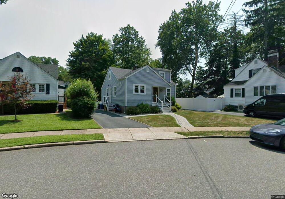
67 6th Ave Westwood, NJ 07675
Estimated Value: $727,000 - $758,000
4
Beds
2
Baths
1,262
Sq Ft
$588/Sq Ft
Est. Value
About This Home
This home is located at 67 6th Ave, Westwood, NJ 07675 and is currently estimated at $741,425, approximately $587 per square foot. 67 6th Ave is a home located in Bergen County with nearby schools including Westwood Regional High School, Primoris Academy, and St. John's Academy.
Ownership History
Date
Name
Owned For
Owner Type
Purchase Details
Closed on
Jul 23, 2021
Sold by
Mcgard Llc
Bought by
Simone Madison Cornett and Simone Steven C
Current Estimated Value
Home Financials for this Owner
Home Financials are based on the most recent Mortgage that was taken out on this home.
Original Mortgage
$463,250
Outstanding Balance
$420,967
Interest Rate
3%
Mortgage Type
New Conventional
Estimated Equity
$320,458
Purchase Details
Closed on
Dec 7, 2020
Sold by
Kilgore Deborah and Estate Of Joan R Stalb
Bought by
Mcgard Llc
Create a Home Valuation Report for This Property
The Home Valuation Report is an in-depth analysis detailing your home's value as well as a comparison with similar homes in the area
Home Values in the Area
Average Home Value in this Area
Purchase History
| Date | Buyer | Sale Price | Title Company |
|---|---|---|---|
| Simone Madison Cornett | $545,000 | Wfg National Title Ins Co | |
| Mcgard Llc | $358,000 | Carnegie Title Llc |
Source: Public Records
Mortgage History
| Date | Status | Borrower | Loan Amount |
|---|---|---|---|
| Open | Simone Madison Cornett | $463,250 |
Source: Public Records
Tax History Compared to Growth
Tax History
| Year | Tax Paid | Tax Assessment Tax Assessment Total Assessment is a certain percentage of the fair market value that is determined by local assessors to be the total taxable value of land and additions on the property. | Land | Improvement |
|---|---|---|---|---|
| 2025 | $11,562 | $567,700 | $316,600 | $251,100 |
| 2024 | $11,499 | $529,400 | $289,900 | $239,500 |
| 2023 | $11,399 | $501,500 | $271,000 | $230,500 |
| 2022 | $11,399 | $473,400 | $254,500 | $218,900 |
| 2021 | $7,275 | $341,400 | $239,500 | $101,900 |
| 2020 | $8,466 | $334,100 | $233,500 | $100,600 |
| 2019 | $8,324 | $330,300 | $231,500 | $98,800 |
| 2018 | $8,067 | $324,900 | $228,000 | $96,900 |
| 2017 | $8,019 | $319,600 | $224,500 | $95,100 |
| 2016 | $8,020 | $305,300 | $214,500 | $90,800 |
| 2015 | $7,517 | $305,300 | $214,500 | $90,800 |
| 2014 | $7,358 | $305,300 | $214,500 | $90,800 |
Source: Public Records
Map
Nearby Homes
- 180 Washington Ave
- 515 Broadway
- 140 Vivian Ave
- 249 Kinderkamack Rd
- 72 Hillside Ave
- 1 Nugent Place
- 11 Park Place
- 406 Howard St
- 550 Fairview Ave Unit 116
- 550 Fairview Ave Unit 203
- 665 Calvin St
- 6 Fairview Ave
- 129 Lake St
- 43 Riverside Dr
- 17 Sycamore Ave
- 21 Valley Brook Dr
- 647 Fern St
- 25 Berkeley Ave
- 525 Colonial Blvd
- 35 Glendale Dr