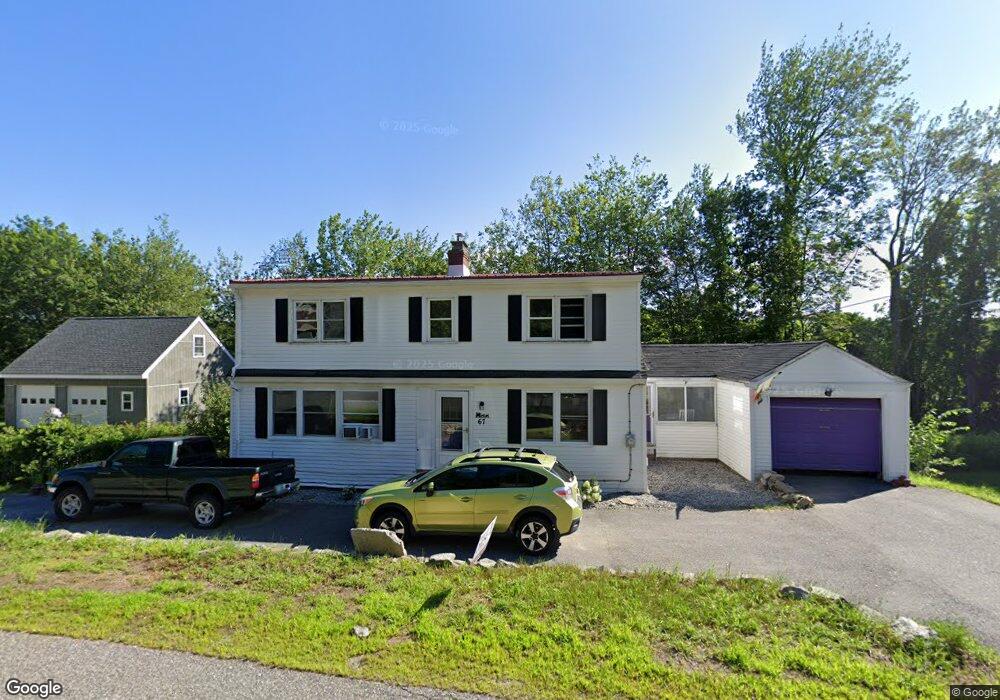
67 Allen Ave Auburn, ME 04210
Estimated Value: $337,000 - $434,000
5
Beds
2
Baths
2,286
Sq Ft
$166/Sq Ft
Est. Value
About This Home
This home is located at 67 Allen Ave, Auburn, ME 04210 and is currently estimated at $379,835, approximately $166 per square foot. 67 Allen Ave is a home located in Androscoggin County with nearby schools including Fairview School, Auburn Middle School, and Edward Little High School.
Ownership History
Date
Name
Owned For
Owner Type
Purchase Details
Closed on
Feb 17, 2022
Sold by
Knight Casey L and Perrin David B
Bought by
Knight Casey L and Floyd Peter F
Current Estimated Value
Home Financials for this Owner
Home Financials are based on the most recent Mortgage that was taken out on this home.
Original Mortgage
$84,500
Outstanding Balance
$78,465
Interest Rate
3.55%
Mortgage Type
Purchase Money Mortgage
Estimated Equity
$301,370
Purchase Details
Closed on
Nov 30, 2011
Sold by
Coutts Carole L
Bought by
Knight Casey L and Perrin David B
Home Financials for this Owner
Home Financials are based on the most recent Mortgage that was taken out on this home.
Original Mortgage
$65,500
Interest Rate
4.1%
Mortgage Type
FHA
Create a Home Valuation Report for This Property
The Home Valuation Report is an in-depth analysis detailing your home's value as well as a comparison with similar homes in the area
Home Values in the Area
Average Home Value in this Area
Purchase History
| Date | Buyer | Sale Price | Title Company |
|---|---|---|---|
| Knight Casey L | -- | None Available | |
| Knight Casey L | -- | -- |
Source: Public Records
Mortgage History
| Date | Status | Borrower | Loan Amount |
|---|---|---|---|
| Open | Knight Casey L | $84,500 | |
| Previous Owner | Knight Casey L | $65,500 |
Source: Public Records
Tax History Compared to Growth
Tax History
| Year | Tax Paid | Tax Assessment Tax Assessment Total Assessment is a certain percentage of the fair market value that is determined by local assessors to be the total taxable value of land and additions on the property. | Land | Improvement |
|---|---|---|---|---|
| 2024 | $4,584 | $206,000 | $55,800 | $150,200 |
| 2023 | $4,170 | $183,300 | $49,600 | $133,700 |
| 2022 | $4,170 | $183,300 | $49,600 | $133,700 |
| 2021 | $3,642 | $152,900 | $41,400 | $111,500 |
| 2020 | $3,631 | $152,900 | $41,400 | $111,500 |
| 2019 | $3,631 | $152,900 | $41,400 | $111,500 |
| 2018 | $3,621 | $152,900 | $41,400 | $111,500 |
| 2017 | $3,055 | $152,900 | $41,400 | $111,500 |
| 2016 | $3,417 | $152,900 | $41,400 | $111,500 |
| 2015 | $2,890 | $152,000 | $41,400 | $110,600 |
| 2013 | -- | $151,900 | $41,400 | $110,500 |
Source: Public Records
Map
Nearby Homes
- 69 Dawes Ave
- 13 Allen Ave
- 53 Hampton Ave
- 1154 Hotel Rd
- 1 Freedom Farm Rd Unit 2
- 88 Tourmaline Ln Unit 34
- 14 Mckinnon St
- 44 Poland Rd
- 18 Concord Place Unit 24
- 0 Baxter Ave
- 18 Monroe St
- 325 Court St
- 863 Minot Ave
- 4 Carson St
- 867 Minot Ave
- 4 Arbania St
- 15 Linden St
- 60 Wedgewood Rd
- 14 Gammon Ave
- 521 Stevens Mill Rd