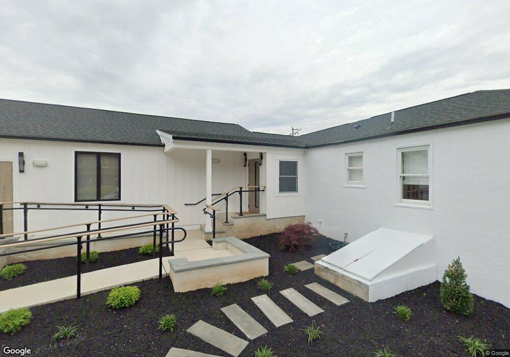
67 Almshouse Rd Richboro, PA 18954
--
Bed
--
Bath
2,620
Sq Ft
0.81
Acres
About This Home
This home is located at 67 Almshouse Rd, Richboro, PA 18954. 67 Almshouse Rd is a home located in Bucks County with nearby schools including Richboro Elementary School, Richboro Middle School, and Council Rock High School - South.
Ownership History
Date
Name
Owned For
Owner Type
Purchase Details
Closed on
Apr 4, 2022
Sold by
Unknown
Bought by
V2a2 Holdings Llc
Home Financials for this Owner
Home Financials are based on the most recent Mortgage that was taken out on this home.
Original Mortgage
$330,000
Outstanding Balance
$311,311
Interest Rate
4.67%
Mortgage Type
New Conventional
Purchase Details
Closed on
May 14, 2019
Sold by
Lahoda John L and Lahoda Stacey
Bought by
67 Almshouse Real Estate Llc
Purchase Details
Closed on
Jul 7, 2006
Sold by
Ritchie Louise A
Bought by
Lahoda John J and Lahoda Stacey M
Home Financials for this Owner
Home Financials are based on the most recent Mortgage that was taken out on this home.
Original Mortgage
$296,000
Interest Rate
6.71%
Mortgage Type
Commercial
Purchase Details
Closed on
Jan 14, 1986
Bought by
Ritchie Ritchie F and Ritchie Louise A
Create a Home Valuation Report for This Property
The Home Valuation Report is an in-depth analysis detailing your home's value as well as a comparison with similar homes in the area
Home Values in the Area
Average Home Value in this Area
Purchase History
| Date | Buyer | Sale Price | Title Company |
|---|---|---|---|
| V2a2 Holdings Llc | $300,000 | Didonato & Burke Llc | |
| 67 Almshouse Real Estate Llc | $370,000 | Prestige Abstract Corp | |
| Lahoda John J | $370,000 | None Available | |
| Ritchie Ritchie F | -- | -- |
Source: Public Records
Mortgage History
| Date | Status | Borrower | Loan Amount |
|---|---|---|---|
| Open | V2a2 Holdings Llc | $330,000 | |
| Previous Owner | Lahoda John J | $296,000 | |
| Closed | V2a2 Holdings Llc | $264,000 |
Source: Public Records
Tax History Compared to Growth
Tax History
| Year | Tax Paid | Tax Assessment Tax Assessment Total Assessment is a certain percentage of the fair market value that is determined by local assessors to be the total taxable value of land and additions on the property. | Land | Improvement |
|---|---|---|---|---|
| 2025 | $7,396 | $38,400 | $6,880 | $31,520 |
| 2024 | $7,396 | $38,400 | $6,880 | $31,520 |
| 2023 | $6,971 | $38,400 | $6,880 | $31,520 |
| 2022 | $6,907 | $38,400 | $6,880 | $31,520 |
| 2021 | $6,688 | $38,400 | $6,880 | $31,520 |
| 2020 | $6,538 | $38,400 | $6,880 | $31,520 |
| 2019 | $6,258 | $38,400 | $6,880 | $31,520 |
| 2018 | $6,147 | $38,400 | $6,880 | $31,520 |
| 2017 | $5,910 | $38,400 | $6,880 | $31,520 |
| 2016 | $5,910 | $38,400 | $6,880 | $31,520 |
| 2015 | -- | $38,400 | $6,880 | $31,520 |
| 2014 | -- | $38,400 | $6,880 | $31,520 |
Source: Public Records
Map
Nearby Homes
- 3 Titus Ct Unit 102
- 50 Mohawk Dr
- 54 Legacy Oaks Dr Unit 94
- 39 Meadow Ln
- 61 Legacy Oaks Dr Unit 62
- 64 Legacy Oaks Dr Unit 81
- 158 Meadow Ln
- 52 Paisley Rd
- 34 Acorn Dr
- 55 W Windrose Dr
- 56 Joshua Dr
- 55 Mount Pleasant Dr
- 120 Gleniffer Hill Rd
- 380 Newtown Richboro Rd
- 47 Creek Rd
- 379 Glen Meadow Rd
- 105 Edwards Dr
- 58 Highspire Rd
- 28 Dartmouth Ln
- 38 Bryan Dr
- 95 Almshouse Rd Unit 104
- 95 Almshouse Rd
- 95 Almshouse Rd Unit 302
- 95 Almshouse Rd Unit 303
- 95 Almshouse Rd Unit 306
- 95 Almshouse Rd Unit 307
- 95 Almshouse Rd Unit 305
- 26 Renee Cir
- 34 Renee Cir
- 1038 2nd Street Pike
- 22 Renee Cir
- 29 Almshouse Rd
- 27 Renee Cir
- 27 Almshouse Rd
- 18 Renee Cir
- 21 Renee Cir
- 1025 Temperance Ln
- 15 Renee Cir
- 14 Renee Cir
- 1060 2nd Street Pike