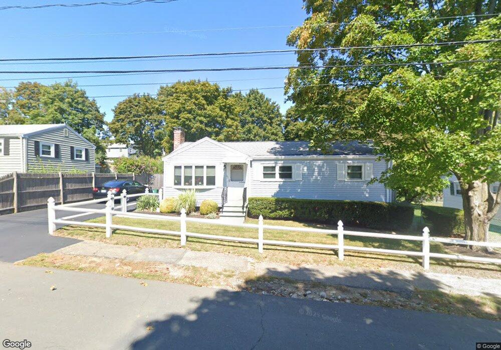
67 Armstrong Cir Braintree, MA 02184
South Braintree NeighborhoodEstimated Value: $556,000 - $672,000
3
Beds
1
Bath
1,282
Sq Ft
$490/Sq Ft
Est. Value
About This Home
This home is located at 67 Armstrong Cir, Braintree, MA 02184 and is currently estimated at $628,330, approximately $490 per square foot. 67 Armstrong Cir is a home located in Norfolk County with nearby schools including Braintree High School, Step Ahead Kindergarten, and Thayer Academy.
Ownership History
Date
Name
Owned For
Owner Type
Purchase Details
Closed on
Sep 24, 1987
Sold by
Vierkant C E Est
Bought by
Sullivan Donald R
Current Estimated Value
Home Financials for this Owner
Home Financials are based on the most recent Mortgage that was taken out on this home.
Original Mortgage
$50,000
Interest Rate
10.37%
Mortgage Type
Purchase Money Mortgage
Create a Home Valuation Report for This Property
The Home Valuation Report is an in-depth analysis detailing your home's value as well as a comparison with similar homes in the area
Home Values in the Area
Average Home Value in this Area
Purchase History
| Date | Buyer | Sale Price | Title Company |
|---|---|---|---|
| Sullivan Donald R | $151,900 | -- |
Source: Public Records
Mortgage History
| Date | Status | Borrower | Loan Amount |
|---|---|---|---|
| Closed | Sullivan Donald R | $50,000 |
Source: Public Records
Tax History
| Year | Tax Paid | Tax Assessment Tax Assessment Total Assessment is a certain percentage of the fair market value that is determined by local assessors to be the total taxable value of land and additions on the property. | Land | Improvement |
|---|---|---|---|---|
| 2025 | $5,576 | $558,700 | $342,000 | $216,700 |
| 2024 | $4,980 | $525,300 | $310,500 | $214,800 |
| 2023 | $4,689 | $480,400 | $279,000 | $201,400 |
| 2022 | $4,511 | $453,400 | $252,000 | $201,400 |
| 2021 | $4,137 | $415,800 | $227,700 | $188,100 |
| 2020 | $3,896 | $395,100 | $207,000 | $188,100 |
| 2019 | $3,689 | $365,600 | $198,000 | $167,600 |
| 2018 | $3,593 | $340,900 | $180,000 | $160,900 |
| 2017 | $3,565 | $331,900 | $171,000 | $160,900 |
| 2016 | $3,502 | $318,900 | $162,000 | $156,900 |
| 2015 | $3,231 | $291,900 | $135,000 | $156,900 |
| 2014 | $3,029 | $265,200 | $129,600 | $135,600 |
Source: Public Records
Map
Nearby Homes
- 80 Lake St
- 614 Pond St Unit 2104
- 6 Lunar Ave
- 29 Saint Michael Rd
- 18 Royal Lake Dr Unit 3
- 107 Meadow Ln Unit 107
- 700 North St
- 661 North St
- 12 Brewster Rd
- 18 Brewster Rd
- 6 Franklin St
- 145 Hancock St Unit 307
- 145 Hancock St Unit 309
- 1579 Washington St
- 47 Addison St
- 70 Alida Rd
- 15 Alida Rd
- 469 North St
- 15 Calvin St
- 61 Grove St
- 73 Armstrong Cir
- 61 Armstrong Cir
- 35 Armstrong Cir
- 29 Armstrong Cir
- 39 Armstrong Cir
- 77 Armstrong Cir
- 84 Armstrong Cir
- 90 Armstrong Cir
- 78 Armstrong Cir
- 23 Armstrong Cir
- 96 Armstrong Cir
- 83 Armstrong Cir
- 66 Armstrong Cir
- 60 Armstrong Cir
- 17 Armstrong Cir
- 54 Armstrong Cir
- 34 Armstrong Cir
- 28 Armstrong Cir
- 40 Armstrong Cir
- 76 Armstrong Cir
Your Personal Tour Guide
Ask me questions while you tour the home.