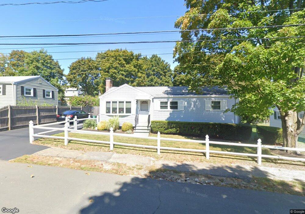
67 Armstrong Cir Braintree, MA 02184
South Braintree NeighborhoodEstimated Value: $551,000 - $653,847
3
Beds
1
Bath
1,282
Sq Ft
$478/Sq Ft
Est. Value
About This Home
This home is located at 67 Armstrong Cir, Braintree, MA 02184 and is currently estimated at $613,212, approximately $478 per square foot. 67 Armstrong Cir is a home located in Norfolk County with nearby schools including Braintree High School, Step Ahead Kindergarten, and Thayer Academy.
Create a Home Valuation Report for This Property
The Home Valuation Report is an in-depth analysis detailing your home's value as well as a comparison with similar homes in the area
Home Values in the Area
Average Home Value in this Area
Tax History
We collect this data history from publicly available records. To have your information removed, we recommend requesting removal directly through your county’s website.
| Year | Tax Paid | Tax Assessment Tax Assessment Total Assessment is a certain percentage of the fair market value that is determined by local assessors to be the total taxable value of land and additions on the property. | Land | Improvement |
|---|---|---|---|---|
| 2025 | $5,576 | $558,700 | $342,000 | $216,700 |
| 2024 | $4,980 | $525,300 | $310,500 | $214,800 |
| 2023 | $4,689 | $480,400 | $279,000 | $201,400 |
| 2022 | $4,511 | $453,400 | $252,000 | $201,400 |
| 2021 | $4,137 | $415,800 | $227,700 | $188,100 |
| 2020 | $3,896 | $395,100 | $207,000 | $188,100 |
| 2019 | $3,689 | $365,600 | $198,000 | $167,600 |
| 2018 | $3,593 | $340,900 | $180,000 | $160,900 |
| 2017 | $3,565 | $331,900 | $171,000 | $160,900 |
| 2016 | $3,502 | $318,900 | $162,000 | $156,900 |
| 2015 | $3,231 | $291,900 | $135,000 | $156,900 |
| 2014 | $3,029 | $265,200 | $129,600 | $135,600 |
Source: Public Records
Map
Nearby Homes
- 11 Hingston Cir
- 500 Pond St
- 111 Barstow Dr
- 65 Lake St
- 614 Pond St Unit 2306
- 4 Lake St
- 9 Oregon Ave
- 399 Pond St Unit B8
- 801 Granite St
- 12 Royal Lake Dr Unit 8
- 14 Royal Lake Dr Unit 1
- 11 Royal Lake Dr Unit 6
- 107 Meadow Ln Unit 107
- 14 Lewis Rd
- 16 Gloria Rd
- 1435 Washington St
- 1579 Washington St
- 6 Franklin St
- 55 Franklin St
- 181 Oak St
- 76 Armstrong Cir
- 76A Armstrong Cir
- 76B Armstrong Cir
- 78 Armstrong Cir
- 11 Barstow Dr
- 84 Armstrong Cir
- 51 Mccue Dr
- 90 Armstrong Cir
- 61 Armstrong Cir
- 96 Armstrong Cir
- 66 Armstrong Cir
- 41 Mccue Dr
- 40 Mccue Dr
- 73 Armstrong Cir
- 31 Barstow Dr
- 10 Barstow Dr
- 60 Armstrong Cir
- 102 Armstrong Cir
- 77 Armstrong Cir
- 530 Pond St
Your Personal Tour Guide
Ask me questions while you tour the home.