Estimated Value: $336,796 - $387,000
--
Bed
1
Bath
1,496
Sq Ft
$245/Sq Ft
Est. Value
About This Home
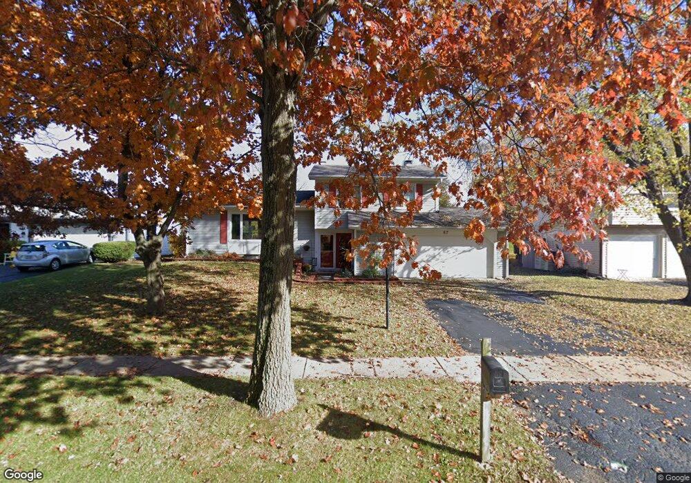
This home is located at 67 Asbury Ln, Cary, IL 60013 and is currently estimated at $367,199, approximately $245 per square foot. 67 Asbury Ln is a home located in McHenry County with nearby schools including Briargate Elementary School, Cary Jr High School, and Cary Grove High School.
Ownership History
Date
Name
Owned For
Owner Type
Purchase Details
Closed on
Mar 14, 1997
Sold by
Rush William D and Rush Kimberly K
Bought by
Falk Keith R and Falk Heike S
Current Estimated Value
Home Financials for this Owner
Home Financials are based on the most recent Mortgage that was taken out on this home.
Original Mortgage
$148,300
Outstanding Balance
$18,320
Interest Rate
7.95%
Mortgage Type
FHA
Estimated Equity
$348,879
Purchase Details
Closed on
Jun 1, 1994
Sold by
Stone Gary W and Stone Pamela A
Bought by
Rush William D and Rush Kimberly K
Home Financials for this Owner
Home Financials are based on the most recent Mortgage that was taken out on this home.
Original Mortgage
$132,750
Interest Rate
6.5%
Create a Home Valuation Report for This Property
The Home Valuation Report is an in-depth analysis detailing your home's value as well as a comparison with similar homes in the area
Home Values in the Area
Average Home Value in this Area
Purchase History
| Date | Buyer | Sale Price | Title Company |
|---|---|---|---|
| Falk Keith R | $151,500 | -- | |
| Rush William D | $147,500 | -- |
Source: Public Records
Mortgage History
| Date | Status | Borrower | Loan Amount |
|---|---|---|---|
| Open | Falk Keith R | $148,300 | |
| Previous Owner | Rush William D | $132,750 |
Source: Public Records
Tax History Compared to Growth
Tax History
| Year | Tax Paid | Tax Assessment Tax Assessment Total Assessment is a certain percentage of the fair market value that is determined by local assessors to be the total taxable value of land and additions on the property. | Land | Improvement |
|---|---|---|---|---|
| 2024 | $7,750 | $100,032 | $21,659 | $78,373 |
| 2023 | $7,541 | $89,466 | $19,371 | $70,095 |
| 2022 | $6,542 | $75,865 | $20,749 | $55,116 |
| 2021 | $6,223 | $70,677 | $19,330 | $51,347 |
| 2020 | $6,033 | $68,175 | $18,646 | $49,529 |
| 2019 | $5,906 | $65,251 | $17,846 | $47,405 |
| 2018 | $5,721 | $61,911 | $16,486 | $45,425 |
| 2017 | $5,600 | $58,324 | $15,531 | $42,793 |
| 2016 | $5,545 | $54,703 | $14,567 | $40,136 |
| 2013 | -- | $59,529 | $13,589 | $45,940 |
Source: Public Records
Map
Nearby Homes
- 2 Daybreak Ridge Trail
- 780 Merrimac St
- 641 Alida Dr
- 800 Big Bear Trail
- 589 Arthur Dr
- 763 Blazing Star Trail
- 413 Haber Rd Unit 5
- 417 Haber Rd Unit 6
- 421 Haber Rd Unit 7
- 550 Norman Dr
- 745 Harper Ave
- 204 Country Commons Rd
- 888 Blazing Star Trail
- 226 Aberdeen Rd
- 0 Kaper Dr
- 411 Park Ave
- 20 Oak Valley Dr Unit 2
- 60 S Seebert St
- 1108 E Danbury Dr Unit 4D
- Lots 2,3,4 Northwest Hwy
- 61 Asbury Ln
- 73 Asbury Ln
- 20 Daybreak Ridge Trail
- 55 Asbury Ln
- 79 Asbury Ln
- 18 Daybreak Ridge Trail
- 22 Daybreak Ridge Trail
- 62 Asbury Ln
- 49 Asbury Ln
- 85 Asbury Ln
- 56 Asbury Ln
- 74 Asbury Ln
- 16 Daybreak Ridge Trail
- 4 Cimarron Ct
- 24 Daybreak Ridge Trail
- 43 Asbury Ln
- 712 Manitou St
- 91 Asbury Ln
- 713 Manitou St
- 14 Daybreak Ridge Trail