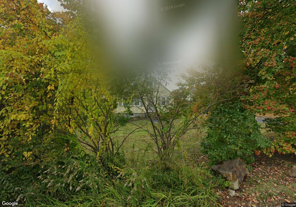
67 Ash St Marlborough, MA 01752
Estimated Value: $503,115 - $569,000
3
Beds
1
Bath
1,512
Sq Ft
$357/Sq Ft
Est. Value
About This Home
This home is located at 67 Ash St, Marlborough, MA 01752 and is currently estimated at $540,279, approximately $357 per square foot. 67 Ash St is a home located in Middlesex County with nearby schools including Marlborough High School, New Covenant Christian School, and Glenhaven Academy - JRI School.
Ownership History
Date
Name
Owned For
Owner Type
Purchase Details
Closed on
Apr 30, 2004
Sold by
Salvatierra Carlos
Bought by
Downey Janice T
Current Estimated Value
Purchase Details
Closed on
Nov 13, 2003
Sold by
Trulson Mark C
Bought by
Salvatierra Carlos
Home Financials for this Owner
Home Financials are based on the most recent Mortgage that was taken out on this home.
Original Mortgage
$162,000
Interest Rate
5.81%
Mortgage Type
Purchase Money Mortgage
Purchase Details
Closed on
Jul 6, 1995
Sold by
Labossiere Kenneth R and Labossiere Sharon M
Bought by
Trulson Mark C and Trulson Misty M
Home Financials for this Owner
Home Financials are based on the most recent Mortgage that was taken out on this home.
Original Mortgage
$101,892
Interest Rate
7.84%
Mortgage Type
Purchase Money Mortgage
Create a Home Valuation Report for This Property
The Home Valuation Report is an in-depth analysis detailing your home's value as well as a comparison with similar homes in the area
Home Values in the Area
Average Home Value in this Area
Purchase History
| Date | Buyer | Sale Price | Title Company |
|---|---|---|---|
| Downey Janice T | $287,000 | -- | |
| Salvatierra Carlos | $180,000 | -- | |
| Trulson Mark C | $103,000 | -- |
Source: Public Records
Mortgage History
| Date | Status | Borrower | Loan Amount |
|---|---|---|---|
| Previous Owner | Salvatierra Carlos | $162,000 | |
| Previous Owner | Trulson Mark C | $154,800 | |
| Previous Owner | Trulson Mark C | $124,100 | |
| Previous Owner | Trulson Mark C | $13,700 | |
| Previous Owner | Trulson Mark C | $101,892 |
Source: Public Records
Tax History Compared to Growth
Tax History
| Year | Tax Paid | Tax Assessment Tax Assessment Total Assessment is a certain percentage of the fair market value that is determined by local assessors to be the total taxable value of land and additions on the property. | Land | Improvement |
|---|---|---|---|---|
| 2025 | $4,039 | $409,600 | $178,200 | $231,400 |
| 2024 | $3,713 | $362,600 | $162,000 | $200,600 |
| 2023 | $4,029 | $349,100 | $134,000 | $215,100 |
| 2022 | $3,981 | $303,400 | $127,600 | $175,800 |
| 2021 | $17,549 | $277,100 | $106,400 | $170,700 |
| 2020 | $3,749 | $264,400 | $101,300 | $163,100 |
| 2019 | $3,657 | $259,900 | $99,300 | $160,600 |
| 2018 | $8,262 | $230,400 | $86,300 | $144,100 |
| 2017 | $3,157 | $206,100 | $86,200 | $119,900 |
| 2016 | $3,103 | $202,300 | $86,200 | $116,100 |
| 2015 | $3,154 | $200,100 | $90,700 | $109,400 |
Source: Public Records
Map
Nearby Homes
- 67 Hunter Ave
- 53 Russell St
- 4 Quinn Rd
- 14 Calder St
- 71 Hudson St
- 315 Bolton St
- 29 Elm St
- 52 Norwood St
- 132 Prospect St
- 73 Howland St
- 27 Jefferson St
- 27 Jefferson St Unit 204
- 110 Prospect St
- 82 Brimsmead St
- 36 Chestnut St
- 582 Pleasant St
- 656 Bolton St
- 272 Lincoln St Unit 102
- 272 Lincoln St Unit 101
- 272 Lincoln St Unit 203