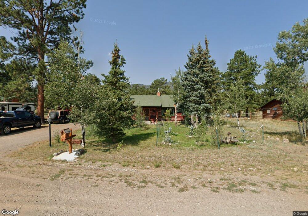
67 Aspen Dr South Fork, CO 81154
Estimated Value: $287,958 - $441,000
2
Beds
2
Baths
1,360
Sq Ft
$281/Sq Ft
Est. Value
About This Home
This home is located at 67 Aspen Dr, South Fork, CO 81154 and is currently estimated at $382,490, approximately $281 per square foot. 67 Aspen Dr is a home located in Rio Grande County with nearby schools including Del Norte K-8 School and Del Norte High School.
Ownership History
Date
Name
Owned For
Owner Type
Purchase Details
Closed on
Oct 1, 2020
Sold by
Parks Paul E and Cook Deborah Ann
Bought by
Parks Paul Edwin and Parks Deborah Ann
Current Estimated Value
Purchase Details
Closed on
Nov 18, 2015
Sold by
Kostuk Jeraldine
Bought by
Parks Paul E and Cook Deborah A
Home Financials for this Owner
Home Financials are based on the most recent Mortgage that was taken out on this home.
Original Mortgage
$130,800
Outstanding Balance
$53,652
Interest Rate
3.8%
Mortgage Type
New Conventional
Estimated Equity
$328,838
Purchase Details
Closed on
May 12, 2015
Sold by
Kostuk Jeraldine
Bought by
Kostuk Jeraldine
Create a Home Valuation Report for This Property
The Home Valuation Report is an in-depth analysis detailing your home's value as well as a comparison with similar homes in the area
Home Values in the Area
Average Home Value in this Area
Purchase History
| Date | Buyer | Sale Price | Title Company |
|---|---|---|---|
| Parks Paul Edwin | -- | None Available | |
| Parks Paul E | $163,500 | None Available | |
| Kostuk Jeraldine | -- | None Available |
Source: Public Records
Mortgage History
| Date | Status | Borrower | Loan Amount |
|---|---|---|---|
| Open | Parks Paul E | $130,800 |
Source: Public Records
Tax History Compared to Growth
Tax History
| Year | Tax Paid | Tax Assessment Tax Assessment Total Assessment is a certain percentage of the fair market value that is determined by local assessors to be the total taxable value of land and additions on the property. | Land | Improvement |
|---|---|---|---|---|
| 2024 | $723 | $11,144 | $856 | $10,288 |
| 2023 | $723 | $11,144 | $856 | $10,288 |
| 2022 | $770 | $11,838 | $1,635 | $10,203 |
| 2021 | $779 | $12,178 | $1,682 | $10,496 |
| 2020 | $769 | $11,972 | $1,682 | $10,290 |
| 2019 | $771 | $11,972 | $1,682 | $10,290 |
| 2018 | $739 | $11,416 | $0 | $0 |
| 2017 | $745 | $11,416 | $0 | $0 |
| 2016 | $582 | $11,529 | $0 | $0 |
| 2015 | $590 | $11,529 | $0 | $0 |
| 2014 | $590 | $11,655 | $0 | $0 |
| 2013 | $547 | $11,655 | $0 | $0 |
Source: Public Records
Map
Nearby Homes
- 222 Bristle Cone Dr
- 38 Cedar Dr
- 58 Cedar Dr
- 22 Cedar Dr
- 59 Willow St
- Undisclosed Beaver Creek Rd
- 152 Conifer Dr
- 56 E Frontage Rd
- 76 Buck St
- 464 Colorado 149
- 137 Rivercrest Dr
- 0 Aspen Dr
- 0253 Aspen Cir
- 0 U S 160 Unit 827893
- 328 Fir Dr
- 1-R W Hwy 160
- 31098 Hwy 160
- 116 Big River Way
- 132 Big River Way
- 2-R W Hwy 160
- 85 Aspen Dr
- 45 Aspen Dr
- 135 Aspen Dr W
- 272 Bristle Cone Dr
- 105 Aspen Dr
- 0105 Aspen Dr
- 0105 W Aspen Dr
- 105 Aspen Dr W
- 101 Bristle Cone Dr
- 85 Bristle Cone Dr
- 242 Bristle Cone Dr
- 29 Aspen Dr
- 0 Aspen Dr W Unit 736725
- 0 Aspen Dr W Unit 736675
- 0 Aspen Dr W Unit 733037
- 0 Aspen Dr W Unit 656692
- 0 Aspen Dr W Unit 668037
- 0 Aspen Dr W Unit 683127
- 125 Aspen Dr
- 0125 Aspen Dr