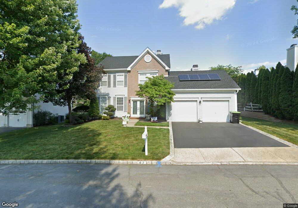
67 Bernadette Rd Morganville, NJ 07751
Estimated Value: $815,408 - $909,000
3
Beds
3
Baths
2,018
Sq Ft
$426/Sq Ft
Est. Value
About This Home
This home is located at 67 Bernadette Rd, Morganville, NJ 07751 and is currently estimated at $859,352, approximately $425 per square foot. 67 Bernadette Rd is a home located in Monmouth County with nearby schools including Robertsville Elementary School, Marlboro Memorial Middle School, and Marlboro High School.
Ownership History
Date
Name
Owned For
Owner Type
Purchase Details
Closed on
Sep 26, 2019
Sold by
Kneesal Carmen
Bought by
Gianvacchio Pietro and Gianvacchio Deana
Current Estimated Value
Home Financials for this Owner
Home Financials are based on the most recent Mortgage that was taken out on this home.
Original Mortgage
$420,000
Outstanding Balance
$367,941
Interest Rate
3.5%
Mortgage Type
New Conventional
Estimated Equity
$491,411
Purchase Details
Closed on
Sep 23, 1994
Sold by
Hovnanian K
Bought by
Kneessi William and Kneessi Carmen
Home Financials for this Owner
Home Financials are based on the most recent Mortgage that was taken out on this home.
Original Mortgage
$80,000
Interest Rate
8.5%
Create a Home Valuation Report for This Property
The Home Valuation Report is an in-depth analysis detailing your home's value as well as a comparison with similar homes in the area
Home Values in the Area
Average Home Value in this Area
Purchase History
| Date | Buyer | Sale Price | Title Company |
|---|---|---|---|
| Gianvacchio Pietro | $525,000 | Trident Abstract Ttl Agcy Ll | |
| Kneessi William | $184,529 | -- |
Source: Public Records
Mortgage History
| Date | Status | Borrower | Loan Amount |
|---|---|---|---|
| Open | Gianvacchio Pietro | $420,000 | |
| Previous Owner | Kneessi William | $80,000 |
Source: Public Records
Tax History Compared to Growth
Tax History
| Year | Tax Paid | Tax Assessment Tax Assessment Total Assessment is a certain percentage of the fair market value that is determined by local assessors to be the total taxable value of land and additions on the property. | Land | Improvement |
|---|---|---|---|---|
| 2025 | $11,195 | $443,700 | $240,300 | $203,400 |
| 2024 | $10,711 | $443,700 | $240,300 | $203,400 |
| 2023 | $10,711 | $443,700 | $240,300 | $203,400 |
| 2022 | $10,409 | $443,700 | $240,300 | $203,400 |
| 2021 | $10,017 | $443,700 | $240,300 | $203,400 |
| 2020 | $10,258 | $443,700 | $240,300 | $203,400 |
| 2019 | $10,267 | $443,700 | $240,300 | $203,400 |
| 2018 | $10,090 | $443,700 | $240,300 | $203,400 |
| 2017 | $9,895 | $443,700 | $240,300 | $203,400 |
| 2016 | $9,855 | $443,700 | $240,300 | $203,400 |
| 2015 | $9,344 | $438,500 | $240,300 | $198,200 |
| 2014 | $7,813 | $364,500 | $175,300 | $189,200 |
Source: Public Records
Map
Nearby Homes
- 206 Anthony Ct
- 0 Falson Ln Unit 22433575
- 508 Lanzaro Dr
- 3 Mountain Laurel Rd
- 608 Texas Rd
- 141 Ticetown Rd
- 204 Tamarack Ct
- 239 Sorrel Dr
- 188 Texas Rd
- 13 Thomas Ln
- 114 Greenwood Rd
- 511 Tennent Rd
- 509 Tennent Rd
- 102 Greenwood Rd
- 123 Westley Rd
- 12 Ellis Ct
- 67 Tennent Rd
- 80 Ortley Ct
- 15 Pemberton Dr
- 14 Dorchester Ct