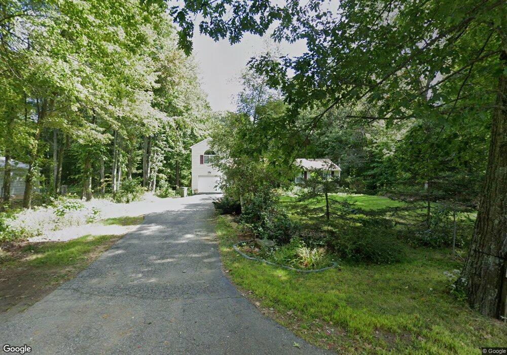
67 Burncoat St Leicester, MA 01524
Estimated Value: $413,000 - $488,000
2
Beds
2
Baths
1,748
Sq Ft
$265/Sq Ft
Est. Value
About This Home
This home is located at 67 Burncoat St, Leicester, MA 01524 and is currently estimated at $463,716, approximately $265 per square foot. 67 Burncoat St is a home located in Worcester County with nearby schools including Leicester Integrated Preschool, Leicester Memorial Elementary School, and Leicester Middle School.
Ownership History
Date
Name
Owned For
Owner Type
Purchase Details
Closed on
Dec 19, 2016
Sold by
Connolly David P and Connolly Lori A
Bought by
Connolly Lori A
Current Estimated Value
Purchase Details
Closed on
Oct 2, 2001
Sold by
Est Foley Joan R and Belanger Philip
Bought by
Connolly Lori Ann and Connolly David P
Home Financials for this Owner
Home Financials are based on the most recent Mortgage that was taken out on this home.
Original Mortgage
$166,250
Interest Rate
6.91%
Mortgage Type
Purchase Money Mortgage
Create a Home Valuation Report for This Property
The Home Valuation Report is an in-depth analysis detailing your home's value as well as a comparison with similar homes in the area
Home Values in the Area
Average Home Value in this Area
Purchase History
| Date | Buyer | Sale Price | Title Company |
|---|---|---|---|
| Connolly Lori A | -- | -- | |
| Connolly Lori A | -- | -- | |
| Connolly Lori A | -- | -- | |
| Connolly Lori Ann | $175,000 | -- | |
| Connolly Lori Ann | $175,000 | -- |
Source: Public Records
Mortgage History
| Date | Status | Borrower | Loan Amount |
|---|---|---|---|
| Previous Owner | Connolly Lori Ann | $160,000 | |
| Previous Owner | Connolly Lori Ann | $176,000 | |
| Previous Owner | Connolly Lori Ann | $166,250 |
Source: Public Records
Tax History Compared to Growth
Tax History
| Year | Tax Paid | Tax Assessment Tax Assessment Total Assessment is a certain percentage of the fair market value that is determined by local assessors to be the total taxable value of land and additions on the property. | Land | Improvement |
|---|---|---|---|---|
| 2025 | $47 | $396,900 | $75,400 | $321,500 |
| 2024 | $4,421 | $352,300 | $65,300 | $287,000 |
| 2023 | $4,207 | $327,100 | $65,300 | $261,800 |
| 2022 | $3,998 | $285,800 | $62,400 | $223,400 |
| 2021 | $4,223 | $279,100 | $62,400 | $216,700 |
| 2020 | $3,905 | $261,900 | $59,200 | $202,700 |
| 2019 | $3,725 | $247,000 | $53,100 | $193,900 |
| 2018 | $3,569 | $221,800 | $53,100 | $168,700 |
| 2017 | $3,406 | $220,000 | $53,100 | $166,900 |
| 2016 | $3,257 | $218,600 | $66,200 | $152,400 |
| 2015 | $3,178 | $218,600 | $66,200 | $152,400 |
Source: Public Records
Map
Nearby Homes
- 1472 Main St
- 80 Rawson St
- 1326 Main St
- 502 Pine St
- 0 Hawthorne St Unit 73444632
- 68 Lake Ave
- 68 Pine St
- 10 Conway Dr
- 0 S Main St Unit 73392435
- 19 Laurelwood Ave
- 6 Williams Dr
- 3 Flagg Dr
- 473 Pleasant St
- 2 Victor Ave
- 27 Winslow Ave
- 164 Peter Salem Rd
- 6 Pitcairn Ave
- 1569 Main St
- 10 Edward St
- 75 Huntoon Memorial Hwy Unit 5-10
- 65 Burncoat St
- 244 Rawson St
- 236 Rawson St
- 250 Rawson St
- 0 Rawson Unit 71422593
- 0 Rawson Unit 71783884
- 232 Rawson St
- 221 Rawson St
- 62 Burncoat St
- 61 Burncoat St
- 252 Rawson St
- 251 Rawson St
- 60 Burncoat St
- 5 Charles St
- 55 Burncoat St
- 213 Rawson St
- 253 Rawson St
- Lot 1 Rawson St
- Lot 4 Rawson St
- 53 Burncoat St