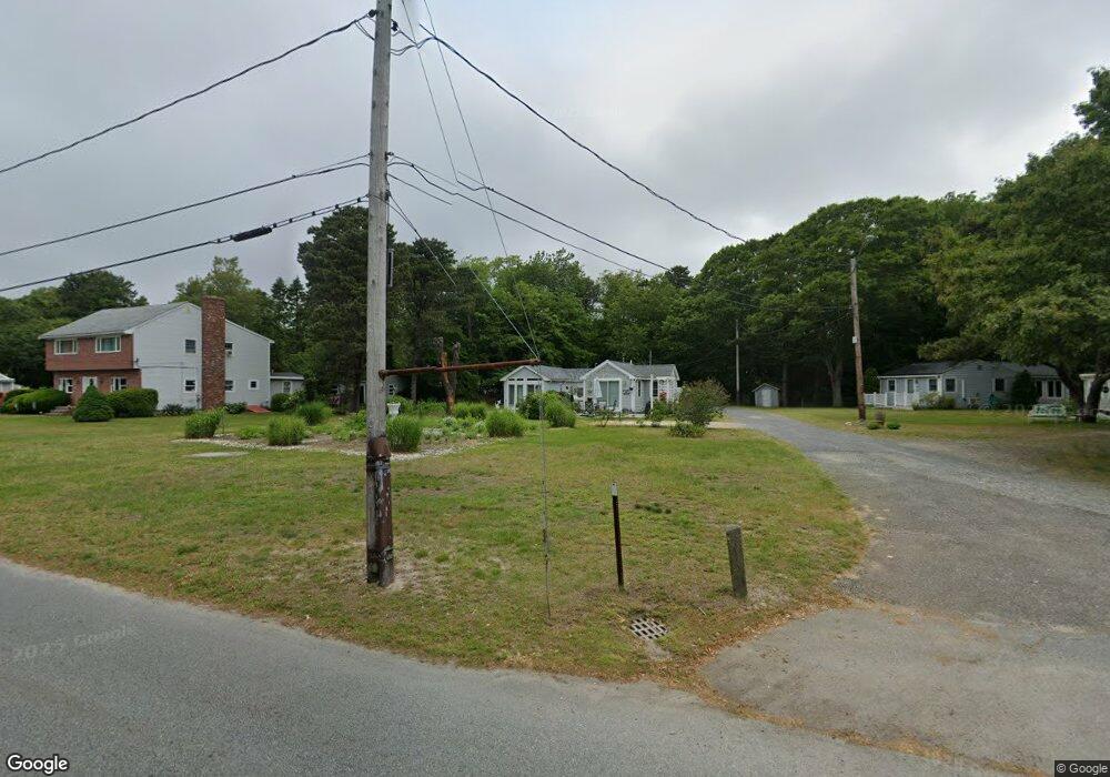
67 Canal St Unit 8 Bourne, MA 02562
Estimated Value: $265,000 - $476,000
2
Beds
1
Bath
650
Sq Ft
$517/Sq Ft
Est. Value
About This Home
This home is located at 67 Canal St Unit 8, Bourne, MA 02562 and is currently estimated at $335,878, approximately $516 per square foot. 67 Canal St Unit 8 is a home located in Barnstable County with nearby schools including Bourne High School, Bridgeview Montessori School, and Waldorf School of Cape Cod.
Ownership History
Date
Name
Owned For
Owner Type
Purchase Details
Closed on
Aug 28, 2025
Sold by
Loconte Michelle
Bought by
Loconte-Stohlberg Ret and Loconte
Current Estimated Value
Purchase Details
Closed on
Jan 8, 2024
Sold by
Crombie Ft and Crombie
Bought by
Loconte Michelle
Home Financials for this Owner
Home Financials are based on the most recent Mortgage that was taken out on this home.
Original Mortgage
$200,000
Interest Rate
7.22%
Mortgage Type
Stand Alone Refi Refinance Of Original Loan
Purchase Details
Closed on
Oct 5, 2012
Sold by
Crombie Henry P and Crombie Jeanne M
Bought by
Crombie Ft and Crombie
Purchase Details
Closed on
Nov 16, 2000
Sold by
Kellett Albert V and Kellett Jean M
Bought by
Capeway Wholesale Nsry
Home Financials for this Owner
Home Financials are based on the most recent Mortgage that was taken out on this home.
Original Mortgage
$70,000
Interest Rate
7.78%
Mortgage Type
Purchase Money Mortgage
Create a Home Valuation Report for This Property
The Home Valuation Report is an in-depth analysis detailing your home's value as well as a comparison with similar homes in the area
Home Values in the Area
Average Home Value in this Area
Purchase History
| Date | Buyer | Sale Price | Title Company |
|---|---|---|---|
| Loconte-Stohlberg Ret | -- | -- | |
| Loconte-Stohlberg Ret | -- | -- | |
| Loconte Michelle | $250,000 | None Available | |
| Crombie Ft | -- | -- | |
| Crombie Ft | -- | -- | |
| Capeway Wholesale Nsry | $100,000 | -- | |
| Capeway Wholesale Nsry | $100,000 | -- |
Source: Public Records
Mortgage History
| Date | Status | Borrower | Loan Amount |
|---|---|---|---|
| Previous Owner | Loconte Michelle | $200,000 | |
| Previous Owner | Capeway Wholesale Nsry | $70,000 |
Source: Public Records
Tax History Compared to Growth
Tax History
| Year | Tax Paid | Tax Assessment Tax Assessment Total Assessment is a certain percentage of the fair market value that is determined by local assessors to be the total taxable value of land and additions on the property. | Land | Improvement |
|---|---|---|---|---|
| 2025 | $1,910 | $244,500 | $0 | $244,500 |
| 2024 | $1,783 | $222,300 | $0 | $222,300 |
| 2023 | $1,733 | $196,700 | $0 | $196,700 |
| 2022 | $1,696 | $168,100 | $0 | $168,100 |
| 2021 | $1,550 | $143,900 | $0 | $143,900 |
| 2020 | $1,508 | $140,400 | $0 | $140,400 |
| 2019 | $1,327 | $126,300 | $0 | $126,300 |
| 2018 | $1,700 | $161,300 | $0 | $161,300 |
| 2017 | $1,632 | $158,400 | $0 | $158,400 |
| 2016 | $1,647 | $162,100 | $0 | $162,100 |
| 2015 | $1,490 | $148,000 | $0 | $148,000 |
Source: Public Records
Map
Nearby Homes
- 33 Buzzards Bay Ave
- 51 Commonwealth Ave
- 51 Commonwealth Ave
- 6 Louis Ave
- 4 Fieldwood Dr
- 4 Fieldwood Dr
- 38 Siasconset Dr
- 16 Ocean Pines Dr Unit B
- 18 Ocean Pines Dr Unit A
- 18 Ocean Pines Dr Unit B
- 42 Siasconset Dr
- 4 Bittersweet Ln Unit 4
- 2 Dogwood Rd
- 2 Dogwood Rd Unit 2
- 0 State Rd
- 1 Wildwood Ln Unit D
- 150 Herring Pond Rd
- 15 Route 6a
- 5 Oakwood Dr
- 133 Phillips Rd
- 67 Canal Rd Unit 12
- 67 Canal Rd Unit 11
- 67 Canal Rd Unit 9
- 67 Canal Rd Unit 8
- 67 Canal Rd Unit 6
- 67 Canal Rd Unit 4
- 67 Canal Rd Unit 10
- 67 Canal Rd
- 67 Canal Rd Unit 7
- 67 Canal Rd Unit 3
- 67 Canal Rd Unit 2
- 67 Canal Rd Unit 1
- 67 Canal Rd Unit 5
- 67 Canal St Unit 10
- 67 Canal St Unit 5
- 67 Canal St Unit 12
- 40 Hunters Brook Rd
- 30 Canal St
- 48 Hunters Brook Rd
- 71 Canal Rd