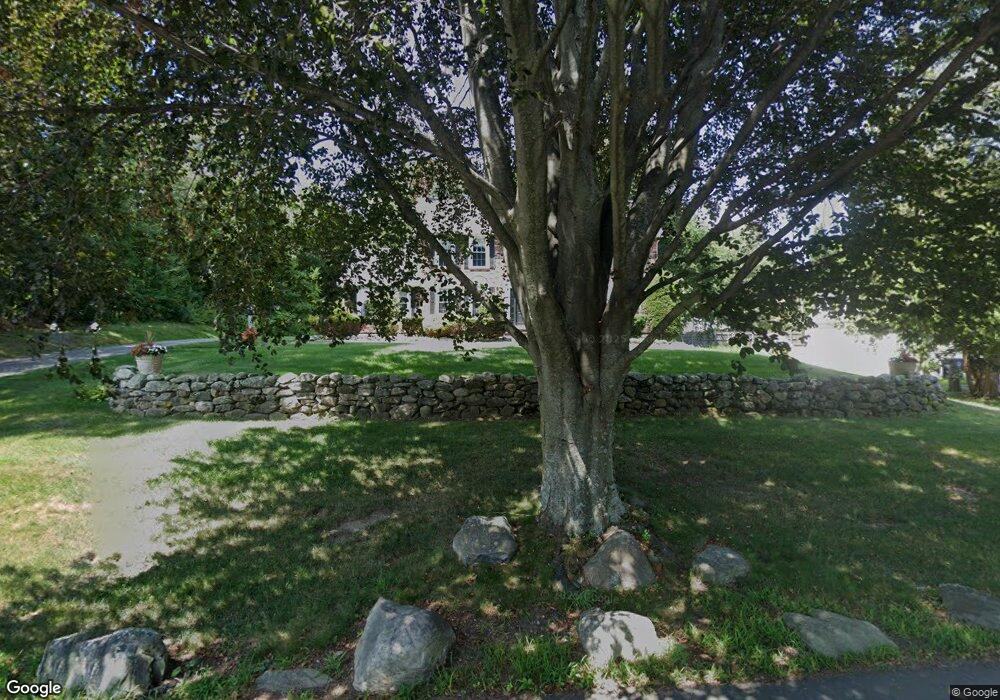
67 Chadwick Rd Haverhill, MA 01835
Salem Street NeighborhoodEstimated Value: $734,213 - $824,000
3
Beds
3
Baths
2,681
Sq Ft
$290/Sq Ft
Est. Value
About This Home
This home is located at 67 Chadwick Rd, Haverhill, MA 01835 and is currently estimated at $778,553, approximately $290 per square foot. 67 Chadwick Rd is a home located in Essex County with nearby schools including Bradford Elementary School and Haverhill High School.
Ownership History
Date
Name
Owned For
Owner Type
Purchase Details
Closed on
Sep 8, 2025
Sold by
Tarpy Gregg M and Tarpy Eric M
Bought by
Tarpy Chadwick Road T and Tarpy
Current Estimated Value
Purchase Details
Closed on
May 8, 2023
Sold by
Tarpy Dianne M and Tarpy James F
Bought by
Tarpy Gregg M and Tarpy Eric M
Purchase Details
Closed on
Feb 6, 1963
Bought by
Tarpy James F and Tarpy Dianne M
Create a Home Valuation Report for This Property
The Home Valuation Report is an in-depth analysis detailing your home's value as well as a comparison with similar homes in the area
Home Values in the Area
Average Home Value in this Area
Purchase History
| Date | Buyer | Sale Price | Title Company |
|---|---|---|---|
| Tarpy Chadwick Road T | -- | -- | |
| Tarpy Gregg M | -- | None Available | |
| Tarpy James F | -- | -- |
Source: Public Records
Mortgage History
| Date | Status | Borrower | Loan Amount |
|---|---|---|---|
| Previous Owner | Tarpy James F | $139,000 | |
| Previous Owner | Tarpy James F | $400,000 | |
| Previous Owner | Tarpy James F | $50,000 |
Source: Public Records
Tax History Compared to Growth
Tax History
| Year | Tax Paid | Tax Assessment Tax Assessment Total Assessment is a certain percentage of the fair market value that is determined by local assessors to be the total taxable value of land and additions on the property. | Land | Improvement |
|---|---|---|---|---|
| 2025 | $7,601 | $709,700 | $224,200 | $485,500 |
| 2024 | $7,161 | $673,000 | $222,500 | $450,500 |
| 2023 | $6,738 | $604,300 | $192,900 | $411,400 |
| 2022 | $6,541 | $514,200 | $180,800 | $333,400 |
| 2021 | $6,364 | $473,500 | $166,900 | $306,600 |
| 2020 | $6,234 | $458,400 | $159,900 | $298,500 |
| 2019 | $6,103 | $437,500 | $139,000 | $298,500 |
| 2018 | $5,869 | $411,600 | $132,100 | $279,500 |
| 2017 | $5,635 | $375,900 | $132,100 | $243,800 |
| 2016 | $5,476 | $356,500 | $118,200 | $238,300 |
| 2015 | $5,313 | $346,100 | $107,800 | $238,300 |
Source: Public Records
Map
Nearby Homes
- 15 Overlook Cir
- 5 Towne Hill Rd
- 1 Lisa Ln
- 332 Salem St Unit 1
- 100 Towne Hill Rd
- 218 Old Groveland Rd
- 12 Munroe St
- 151 Hyatt Ave
- 54 Lincoln Ave
- 32 Harding Ave
- 65 Stetson St
- 425 Main St
- 70 Race St
- 45 Lincolnshire Dr
- 54 S Williams St
- 15 Hyatt Ave
- 404 Main St
- 104 Keeley St Unit A
- 7 Pearson St
- 30 Colby St