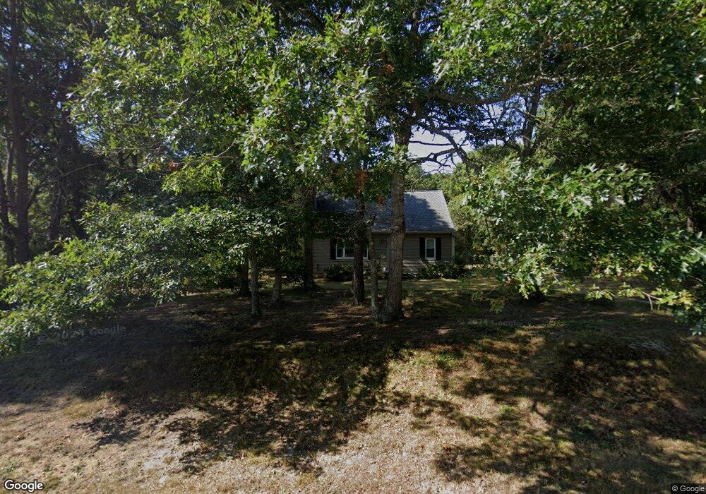
67 Chopteaque Ln Marstons Mills, MA 02648
Marstons Mills NeighborhoodEstimated Value: $485,000 - $591,000
3
Beds
2
Baths
1,373
Sq Ft
$402/Sq Ft
Est. Value
About This Home
This home is located at 67 Chopteaque Ln, Marstons Mills, MA 02648 and is currently estimated at $551,273, approximately $401 per square foot. 67 Chopteaque Ln is a home located in Barnstable County with nearby schools including West Villages Elementary School, Barnstable United Elementary School, and Barnstable Intermediate School.
Ownership History
Date
Name
Owned For
Owner Type
Purchase Details
Closed on
Apr 17, 1992
Sold by
Grzegorzewski Mark C and Grzegorzewski Karen
Bought by
Ryder Morrill S
Current Estimated Value
Create a Home Valuation Report for This Property
The Home Valuation Report is an in-depth analysis detailing your home's value as well as a comparison with similar homes in the area
Home Values in the Area
Average Home Value in this Area
Purchase History
| Date | Buyer | Sale Price | Title Company |
|---|---|---|---|
| Ryder Morrill S | $80,000 | -- |
Source: Public Records
Mortgage History
| Date | Status | Borrower | Loan Amount |
|---|---|---|---|
| Open | Ryder Morrill S | $50,000 | |
| Open | Ryder Morrill S | $167,000 | |
| Closed | Ryder Morrill S | $150,100 | |
| Closed | Ryder Morrill S | $20,900 |
Source: Public Records
Tax History Compared to Growth
Tax History
| Year | Tax Paid | Tax Assessment Tax Assessment Total Assessment is a certain percentage of the fair market value that is determined by local assessors to be the total taxable value of land and additions on the property. | Land | Improvement |
|---|---|---|---|---|
| 2025 | $3,937 | $486,600 | $155,900 | $330,700 |
| 2024 | $3,631 | $464,900 | $155,900 | $309,000 |
| 2023 | $3,463 | $415,200 | $141,700 | $273,500 |
| 2022 | $3,245 | $336,600 | $105,000 | $231,600 |
| 2021 | $5,769 | $304,200 | $105,000 | $199,200 |
| 2020 | $3,289 | $300,100 | $105,000 | $195,100 |
| 2019 | $3,137 | $278,100 | $105,000 | $173,100 |
| 2018 | $4,584 | $260,900 | $110,500 | $150,400 |
| 2017 | $4,527 | $253,800 | $110,500 | $143,300 |
| 2016 | $2,777 | $254,800 | $111,500 | $143,300 |
| 2015 | $2,670 | $246,100 | $109,000 | $137,100 |
Source: Public Records
Map
Nearby Homes
- 783 Santuit-Newtown Rd
- 6 Santuit Pond Rd
- 19 Oriole Ln
- 78 Brittany Dr
- 95 Brittany Dr
- 6 Southfield Ln
- 131 Timberlane Dr
- 170 Forest Hills Rd
- 152 Wakeby Rd
- 45 Pequot Rd
- 544 Cotuit Rd
- 49 Burnham St
- 289 Santuit-Newtown Rd
- 9 Tarragon Cir
- 20 Windsor Way
- 45 Fox Hill Rd
- 68 Fox Hill Rd
- 235 Main St
- 22 Candlewood Ln
- 53 Chopteaque Ln
- 79 Chopteaque Ln
- 70 Chopteaque Ln
- 70 Chopteaque Ln
- 70 Chopteaque Ln
- 56 Chopteaque Ln
- 43 Chopteaque Ln
- 93 Chopteaque Ln
- 84 Chopteaque Ln
- 105 Biscayne Dr
- 46 Chopteaque Ln
- 25 Commodore Ln
- 90 Biscayne Dr
- 90 Biscayne Dr
- 96 Chopteague Ln
- 96 Chopteaque Ln
- 139 Audreys Ln
- 127 Audreys Ln
- 105 Chopteaque Ln
- 32 Chopteaque Ln