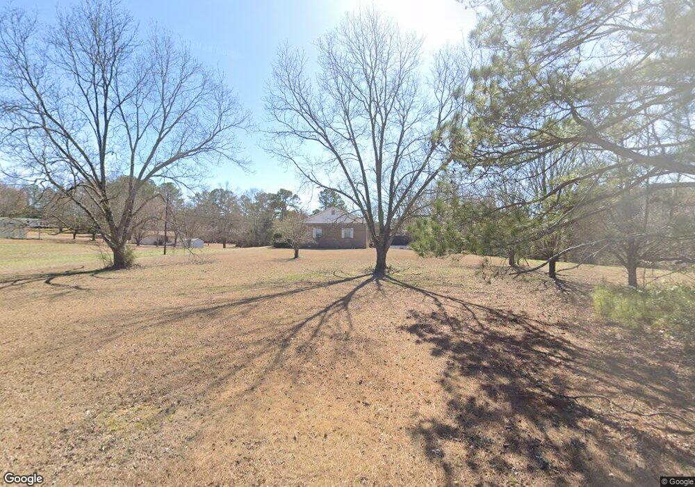
67 Clate Tidwell Rd Locust Fork, AL 35097
Estimated Value: $181,715 - $249,000
Studio
--
Bath
1,513
Sq Ft
$139/Sq Ft
Est. Value
About This Home
This home is located at 67 Clate Tidwell Rd, Locust Fork, AL 35097 and is currently estimated at $210,429, approximately $139 per square foot. 67 Clate Tidwell Rd is a home with nearby schools including Locust Fork Elementary School and Locust Fork High School.
Ownership History
Date
Name
Owned For
Owner Type
Purchase Details
Closed on
Jan 27, 2025
Sold by
Thrift Virgil Ray and Thrift Sherry L
Bought by
Staton Elam Stacey
Current Estimated Value
Home Financials for this Owner
Home Financials are based on the most recent Mortgage that was taken out on this home.
Original Mortgage
$96,281
Outstanding Balance
$95,386
Interest Rate
6.6%
Mortgage Type
New Conventional
Estimated Equity
$115,043
Purchase Details
Closed on
Sep 25, 2024
Sold by
Holt Douglas Neil
Bought by
Thrift Virgil Ray
Create a Home Valuation Report for This Property
The Home Valuation Report is an in-depth analysis detailing your home's value as well as a comparison with similar homes in the area
Purchase History
| Date | Buyer | Sale Price | Title Company |
|---|---|---|---|
| Staton Elam Stacey | $25,217 | None Listed On Document | |
| Elam Stacey Staton | $25,217 | None Listed On Document | |
| Thrift Virgil Ray | $10,000 | None Listed On Document |
Source: Public Records
Mortgage History
| Date | Status | Borrower | Loan Amount |
|---|---|---|---|
| Open | Elam Stacey Staton | $96,281 | |
| Closed | Elam Stacey Staton | $96,281 |
Source: Public Records
Tax History
| Year | Tax Paid | Tax Assessment Tax Assessment Total Assessment is a certain percentage of the fair market value that is determined by local assessors to be the total taxable value of land and additions on the property. | Land | Improvement |
|---|---|---|---|---|
| 2024 | $0 | $17,660 | $2,640 | $15,020 |
| 2023 | $0 | $16,480 | $2,640 | $13,840 |
| 2022 | $0 | $14,220 | $1,820 | $12,400 |
| 2021 | $354 | $12,100 | $1,920 | $10,180 |
| 2020 | $354 | $10,680 | $1,820 | $8,860 |
| 2019 | $354 | $10,680 | $1,820 | $8,860 |
| 2018 | $0 | $11,600 | $1,820 | $9,780 |
| 2017 | $354 | $10,800 | $0 | $0 |
| 2015 | -- | $10,800 | $0 | $0 |
| 2014 | -- | $10,800 | $0 | $0 |
| 2013 | -- | $12,020 | $0 | $0 |
Source: Public Records
Map
Nearby Homes
- 163 Azzilee Cir
- 29542 Alabama 79
- 178 Jerry Marsh Rd
- #0 Shady Point Rd
- 4490 Spunky Hollow Rd
- 711 Yaw Rd
- 2898 County Highway 15
- 31730 Alabama 79
- 54 Pine Ridge Dr
- 80 Oak Leaf Dr
- 707 Saint Andrews Pkwy
- 1129 Baty Rd
- 496 Tawbush Rd
- 115 Holt Dr
- 32510 Alabama 79
- Lot 104 Muirfield Cir
- 0 Center Hill Rd Unit 21444372
- 1065 Saint Andrews Pkwy
- 1166 Saint Andrews Pkwy
- 0 Bellerive Cir Unit 21442042
- 6221 Spunky Hollow Rd
- 130 Clate Tidwell Rd
- 350 Pine Bluff Rd
- 6280 Spunky Hollow Rd
- 34 Bluff Ln
- 6177 Spunky Hollow Rd
- 10 Azzilee Cir
- 201 Clate Tidwell Rd
- 41 Bluff Ln
- 1 parcel Hwy 79
- 380 Pine Bluff Rd
- 24 Azzilee Cir
- 208 Azzilee Cir
- 135 Bluff Ln
- 12 Azzilee Cir Unit 1
- 56 Azzilee Cir
- 420 Pine Bluff Rd
- 9 Azzilee Cir Unit 1
- 6072 Spunky Hollow Rd
- 76 Azzilee Cir
Your Personal Tour Guide
Ask me questions while you tour the home.