67 County Road 321 Poplar Bluff, MO 63901
Poplar Bluff AreaEstimated Value: $156,000 - $191,000
About This Home
This home is located at 67 County Road 321, Poplar Bluff, MO 63901 and is currently estimated at $173,500, approximately $109 per square foot. 67 County Road 321 is a home with nearby schools including Eugene Field Elementary School, Poplar Bluff Fifth & Sixth Grade Center, and Poplar Bluff Junior High School.
Ownership History
We collect this data history from publicly available records. To have your information removed, we recommend requesting removal directly through your county’s website.
Purchase Details
Home Financials for this Owner
Home Financials are based on the most recent Mortgage that was taken out on this home.Purchase Details
Purchase History
We collect this data history from publicly available records. To have your information removed, we recommend requesting removal directly through your county’s website.
| Date | Buyer | Sale Price | Title Company |
|---|---|---|---|
| -- | None Available | ||
| -- | -- |
Mortgage History
We collect this data history from publicly available records. To have your information removed, we recommend requesting removal directly through your county’s website.
| Date | Status | Borrower | Loan Amount |
|---|---|---|---|
| Open | $170,000 |
Tax History
We collect this data history from publicly available records. To have your information removed, we recommend requesting removal directly through your county’s website.
| Year | Tax Paid | Tax Assessment Tax Assessment Total Assessment is a certain percentage of the fair market value that is determined by local assessors to be the total taxable value of land and additions on the property. | Land | Improvement |
|---|---|---|---|---|
| 2025 | $522 | $12,010 | $0 | $0 |
| 2024 | $5 | $11,200 | $0 | $0 |
| 2023 | $499 | $11,200 | $0 | $0 |
| 2022 | $483 | $10,860 | $0 | $0 |
| 2021 | $483 | $10,860 | $0 | $0 |
| 2020 | $466 | $10,310 | $0 | $0 |
| 2019 | $467 | $10,310 | $0 | $0 |
| 2018 | $467 | $10,360 | $0 | $0 |
| 2017 | -- | $10,360 | $0 | $0 |
| 2016 | -- | $10,360 | $0 | $0 |
| 2015 | -- | $10,360 | $0 | $0 |
| 2014 | -- | $9,720 | $0 | $0 |
| 2012 | $370 | $9,720 | $0 | $0 |
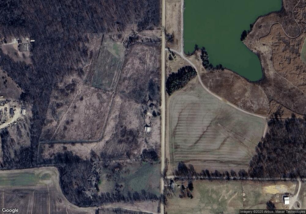
Map
- 150 Mezzo Ln
- 000 County Road 315
- 2829 Missouri 158
- 00 E Outer Rd
- Lot 1 W Highland Cir
- Lot 3 W Highland Cir
- Lot 2 W Highland Cir
- 251 Ruth Harris Ln
- 233 Ruth Harris Ln
- 523 Sunny Valley Ln
- 293 Cr 343
- 956 Sunny Valley Ln
- 973 Sunny Valley Ln
- 4196 Highway 142
- 647 County Road 470
- 112 Kaylee Cir
- 321 Apple Park Way
- 0 Lot 15 Legacy Estates
- 0 Lot 22 Legacy Estates Unit MAR25007101
- 0 Lot 23 Legacy Estates
- 1440 County Road 321
- 1387 County Road 321
- 6 Hawthorne Ln
- 1028 County Road 321
- 250 County Road 3231
- 166 Hibiscus Ln
- 98 Hawthorne Ln
- 849 County Road 321
- 215 Hawthorne Ln
- 0 Tract 12 Cr 478 Unit 9936583
- 0 Tract 14 Cr 478
- 0 Tract 16 Cr 478 Unit 9936587
- 0 Tract 18 Cr 478 Unit 9936589
- 0 Tract 11 Cr 478 Unit 9936582
- 0 Tract 13 Cr 478 Unit 9936584
- 0 Tract 15 Cr 478 Unit 9936586
- 0 Tract 17 Cr 478 Unit 9936588
- 695 County Road 321
- 0 Hwy 67 S End of Cr 478
- 67 W W Dr S
Ask me questions while you tour the home.