67 Cranberry Ln North Andover, MA 01845
Estimated Value: $1,325,000 - $2,156,000
5
Beds
5
Baths
5,651
Sq Ft
$280/Sq Ft
Est. Value
About This Home
This home is located at 67 Cranberry Ln, North Andover, MA 01845 and is currently estimated at $1,584,020, approximately $280 per square foot. 67 Cranberry Ln is a home located in Essex County with nearby schools including Franklin Elementary School, North Andover Middle School, and North Andover High School.
Ownership History
Date
Name
Owned For
Owner Type
Purchase Details
Closed on
Jun 29, 2001
Sold by
Cikacz Rt
Bought by
Neff Ralph and Neff Oanh
Current Estimated Value
Home Financials for this Owner
Home Financials are based on the most recent Mortgage that was taken out on this home.
Original Mortgage
$650,000
Outstanding Balance
$250,493
Interest Rate
7.14%
Mortgage Type
Purchase Money Mortgage
Estimated Equity
$1,333,527
Create a Home Valuation Report for This Property
The Home Valuation Report is an in-depth analysis detailing your home's value as well as a comparison with similar homes in the area
Home Values in the Area
Average Home Value in this Area
Purchase History
| Date | Buyer | Sale Price | Title Company |
|---|---|---|---|
| Neff Ralph | $971,500 | -- |
Source: Public Records
Mortgage History
| Date | Status | Borrower | Loan Amount |
|---|---|---|---|
| Open | Neff Ralph | $650,000 | |
| Previous Owner | Neff Ralph | $350,000 |
Source: Public Records
Tax History Compared to Growth
Tax History
| Year | Tax Paid | Tax Assessment Tax Assessment Total Assessment is a certain percentage of the fair market value that is determined by local assessors to be the total taxable value of land and additions on the property. | Land | Improvement |
|---|---|---|---|---|
| 2025 | $14,584 | $1,295,200 | $412,400 | $882,800 |
| 2024 | $13,586 | $1,225,100 | $391,800 | $833,300 |
| 2023 | $12,684 | $1,036,300 | $313,400 | $722,900 |
| 2022 | $12,615 | $932,400 | $272,200 | $660,200 |
| 2021 | $12,192 | $860,400 | $247,400 | $613,000 |
| 2020 | $11,415 | $830,800 | $247,400 | $583,400 |
| 2019 | $11,141 | $830,800 | $247,400 | $583,400 |
| 2018 | $12,072 | $830,800 | $247,400 | $583,400 |
| 2017 | $14,820 | $1,037,800 | $241,300 | $796,500 |
| 2016 | $13,952 | $977,700 | $254,200 | $723,500 |
| 2015 | $12,516 | $869,800 | $237,000 | $632,800 |
Source: Public Records
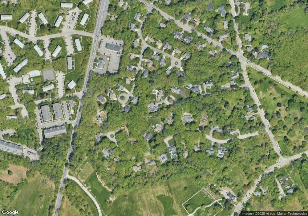
Map
Nearby Homes
- 180 Chickering Rd Unit 310C
- 25 Fernview Ave Unit 8
- 23 Fernview Ave Unit 1
- 19 Fernview Ave Unit 6
- 19 Fernview Ave Unit 5
- 40 Fernview Ave Unit 11
- 35 Fernview Ave Unit 5
- 52 Fernview Ave Unit 7
- 70 Farrwood Ave Unit 7
- 90 Edgelawn Ave Unit 1
- 75 Edgelawn Ave Unit 1
- 3 Great Pond Rd
- 479 Stevens St
- 7 Kingston St
- 156 Kingston St Unit 156
- 88 Kingston St
- 16 Court St
- 124 Quail Run Rd
- 136 Quail Run Rd
- 98 Mill Pond
- 59 Cranberry Ln
- 38 Copley Cir
- 79 Old Village Ln
- 69 Old Village Ln
- 46 Copley Cir
- 47 Cranberry Ln
- 89 Old Village Ln
- 18 Copley Cir
- 57 Old Village Ln
- 125 Old Village Ln
- 35 Copley Cir
- 49 Cobblestone Cir
- 25 Copley Cir
- 103 Old Village Ln
- 57 Cobblestone Cir
- 43 Cobblestone Cir
- 41 Copley Cir
- 10 Copley Cir
- 35 Cranberry Ln
- 35 Cobblestone Cir