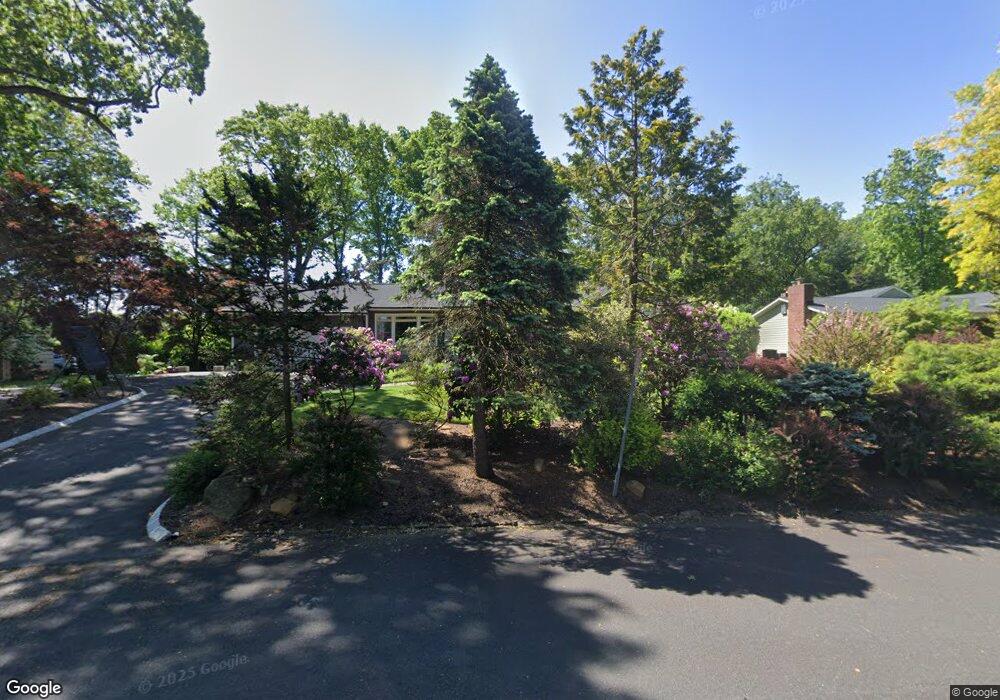
67 Crest Dr Summit, NJ 07901
Estimated Value: $1,291,903 - $1,742,000
Studio
--
Bath
3,038
Sq Ft
$495/Sq Ft
Est. Value
About This Home
This home is located at 67 Crest Dr, Summit, NJ 07901 and is currently estimated at $1,502,726, approximately $494 per square foot. 67 Crest Dr is a home located in Union County with nearby schools including Columbia Middle School, Governor Livingston High School, and The Academy of Our Lady of Peace.
Ownership History
Date
Name
Owned For
Owner Type
Purchase Details
Closed on
Nov 15, 2011
Sold by
Wortzel Robert and Wortzel Donna
Bought by
Barker Clint and Barker Laura
Current Estimated Value
Home Financials for this Owner
Home Financials are based on the most recent Mortgage that was taken out on this home.
Original Mortgage
$525,000
Outstanding Balance
$359,379
Interest Rate
4.1%
Mortgage Type
New Conventional
Estimated Equity
$1,143,347
Purchase Details
Closed on
Feb 21, 2007
Sold by
Wortzel Robert A
Bought by
Wortzel Donna L
Create a Home Valuation Report for This Property
The Home Valuation Report is an in-depth analysis detailing your home's value as well as a comparison with similar homes in the area
Home Values in the Area
Average Home Value in this Area
Purchase History
| Date | Buyer | Sale Price | Title Company |
|---|---|---|---|
| Barker Clint | $691,500 | Flexible Title Closers Llc | |
| Wortzel Donna L | -- | -- |
Source: Public Records
Mortgage History
| Date | Status | Borrower | Loan Amount |
|---|---|---|---|
| Open | Barker Clint | $525,000 |
Source: Public Records
Tax History
| Year | Tax Paid | Tax Assessment Tax Assessment Total Assessment is a certain percentage of the fair market value that is determined by local assessors to be the total taxable value of land and additions on the property. | Land | Improvement |
|---|---|---|---|---|
| 2025 | $16,822 | $392,400 | $287,200 | $105,200 |
| 2024 | $16,579 | $392,400 | $287,200 | $105,200 |
| 2023 | $16,579 | $392,400 | $287,200 | $105,200 |
| 2022 | $16,477 | $392,400 | $287,200 | $105,200 |
| 2021 | $16,387 | $392,400 | $287,200 | $105,200 |
| 2020 | $16,372 | $390,000 | $287,200 | $102,800 |
| 2019 | $16,290 | $390,000 | $287,200 | $102,800 |
| 2018 | $15,951 | $390,000 | $287,200 | $102,800 |
| 2017 | $15,756 | $390,000 | $287,200 | $102,800 |
| 2016 | $15,479 | $390,000 | $287,200 | $102,800 |
| 2015 | $15,393 | $390,000 | $287,200 | $102,800 |
| 2014 | $14,992 | $390,000 | $287,200 | $102,800 |
Source: Public Records
Map
Nearby Homes
- 27 Hunterdon Blvd
- 61 Oakwood Dr
- 65 Seven Oaks Dr
- 15 Alison Ct
- 157 Grant Ave
- 4B Foley Square
- 34 Grant Ave
- 5 Murray Hill Square
- 1 Murray Hill Square Unit 17A1
- 25 Murray Hill Square
- 33 Yarmouth Dr
- 32 Marion Ave
- 17 Badgley Dr
- 355 Ackerman Ave
- 50 Livingston Ave
- 4 Parkview Terrace
- 25 Division Ave
- 20 Pittsford Way
- 142 Diamond Hill Rd
- 105 Larned Rd
Your Personal Tour Guide
Ask me questions while you tour the home.