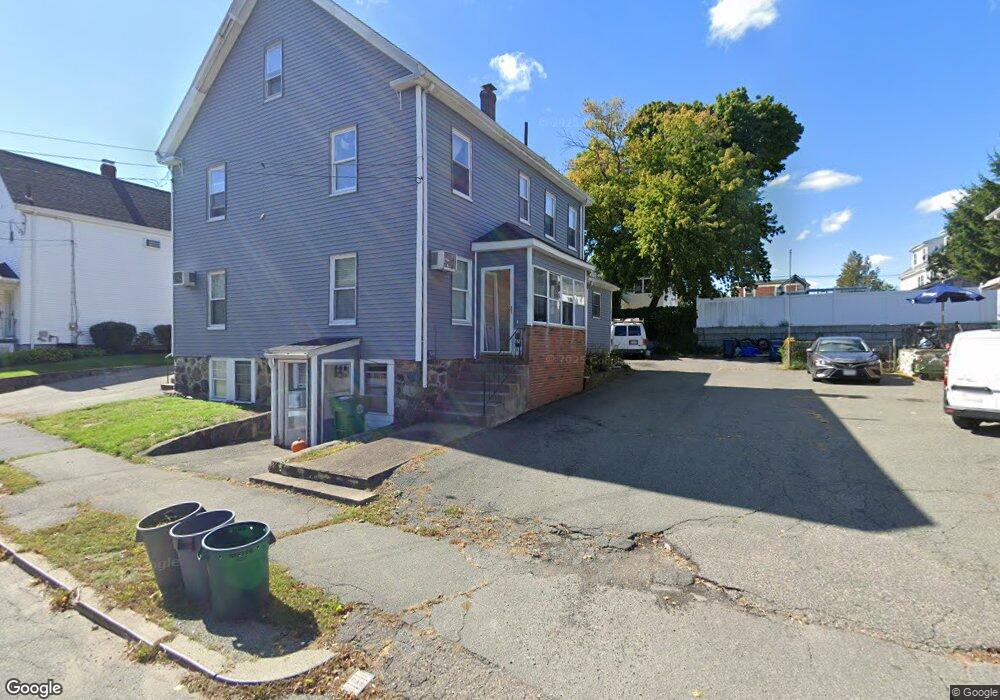
67 Dalby St Unit 69 Newton, MA 02458
Nonantum NeighborhoodEstimated Value: $1,325,000 - $1,875,000
4
Beds
4
Baths
2,460
Sq Ft
$615/Sq Ft
Est. Value
About This Home
This home is located at 67 Dalby St Unit 69, Newton, MA 02458 and is currently estimated at $1,513,000, approximately $615 per square foot. 67 Dalby St Unit 69 is a home located in Middlesex County with nearby schools including Lincoln-Eliot Elementary School, Bigelow Middle School, and Newton North High School.
Ownership History
Date
Name
Owned For
Owner Type
Purchase Details
Closed on
Mar 26, 2021
Sold by
Mcmillen Richard J and Mcmillen Christine A
Bought by
Mcmillen Family Irt
Current Estimated Value
Create a Home Valuation Report for This Property
The Home Valuation Report is an in-depth analysis detailing your home's value as well as a comparison with similar homes in the area
Home Values in the Area
Average Home Value in this Area
Purchase History
| Date | Buyer | Sale Price | Title Company |
|---|---|---|---|
| Mcmillen Family Irt | -- | None Available |
Source: Public Records
Tax History
| Year | Tax Paid | Tax Assessment Tax Assessment Total Assessment is a certain percentage of the fair market value that is determined by local assessors to be the total taxable value of land and additions on the property. | Land | Improvement |
|---|---|---|---|---|
| 2025 | $9,906 | $1,010,800 | $667,300 | $343,500 |
| 2024 | $9,578 | $981,400 | $647,900 | $333,500 |
| 2023 | $8,988 | $882,900 | $504,900 | $378,000 |
| 2022 | $8,600 | $817,500 | $467,500 | $350,000 |
| 2021 | $8,070 | $750,000 | $428,900 | $321,100 |
| 2020 | $7,830 | $750,000 | $428,900 | $321,100 |
| 2019 | $7,324 | $700,900 | $400,800 | $300,100 |
| 2018 | $7,231 | $668,300 | $373,400 | $294,900 |
| 2017 | $6,818 | $613,100 | $342,600 | $270,500 |
| 2016 | $6,401 | $562,500 | $314,300 | $248,200 |
| 2015 | $6,103 | $525,700 | $293,700 | $232,000 |
Source: Public Records
Map
Nearby Homes
- 290 Watertown St Unit 2
- 290 Watertown St Unit 3
- 237 California St
- 235 California St
- 235 California St Unit 235
- 34 West St Unit B
- 34 West St Unit A
- 68 Los Angeles St Unit 306
- 68 Los Angeles St Unit 205
- 188-190 Adams St
- 41 Capital St
- 11 Pond St Unit 11
- 49 Hawthorn St
- 290 Pleasant St Unit 113
- 3 Ashmont Ave
- 189 Linwood Ave Unit 1
- 123-125 Waban St Unit 125
- 36 Brandley Rd Unit 38
- 158 Pearl St Unit 2
- 105 Watertown St
- 73 Dalby St
- 63 Dalby St
- 63 Dalby St Unit 2
- 63 Dalby St Unit 1
- 59 Dalby St
- 77 Dalby St Unit 1
- 77 Dalby St Unit 79
- 77 Dalby St Unit n/a
- 77 Dalby St Unit 77
- 79 Dalby St
- 77-79 Dalby St
- 70 Dalby St Unit 1
- 82 Chapel St Unit 84
- 84 Chapel St Unit 84
- 84 Chapel St Unit 1
- 78 Chapel St
- 74 Dalby St Unit 74
- 74 Dalby St
- 76 Chapel St
- 68 Dalby St Unit 70
Your Personal Tour Guide
Ask me questions while you tour the home.