67 Dari Rd Middle Island, NY 11953
Estimated Value: $439,000 - $512,000
2
Beds
2
Baths
1,504
Sq Ft
$320/Sq Ft
Est. Value
About This Home
This home is located at 67 Dari Rd, Middle Island, NY 11953 and is currently estimated at $481,300, approximately $320 per square foot. 67 Dari Rd is a home located in Suffolk County with nearby schools including Longwood Middle School, Longwood Junior High School, and Longwood Senior High School.
Ownership History
Date
Name
Owned For
Owner Type
Purchase Details
Closed on
Jun 26, 2014
Sold by
Palumbo Vera
Bought by
Palumbo Ricky J and Vera Palumbo Irrevocable Trust
Current Estimated Value
Purchase Details
Closed on
Nov 13, 2001
Sold by
Barra Michael A
Bought by
Barra Michael A and Barra Gail C
Home Financials for this Owner
Home Financials are based on the most recent Mortgage that was taken out on this home.
Original Mortgage
$224,000
Interest Rate
6.67%
Purchase Details
Closed on
Mar 25, 1999
Sold by
Spring Lake Building Corp
Bought by
Barra Michael A
Home Financials for this Owner
Home Financials are based on the most recent Mortgage that was taken out on this home.
Original Mortgage
$163,750
Interest Rate
7.04%
Create a Home Valuation Report for This Property
The Home Valuation Report is an in-depth analysis detailing your home's value as well as a comparison with similar homes in the area
Home Values in the Area
Average Home Value in this Area
Purchase History
| Date | Buyer | Sale Price | Title Company |
|---|---|---|---|
| Palumbo Ricky J | -- | -- | |
| Barra Michael A | -- | -- | |
| Barra Michael A | $172,500 | -- |
Source: Public Records
Mortgage History
| Date | Status | Borrower | Loan Amount |
|---|---|---|---|
| Previous Owner | Barra Michael A | $224,000 | |
| Previous Owner | Barra Michael A | $163,750 |
Source: Public Records
Tax History Compared to Growth
Tax History
| Year | Tax Paid | Tax Assessment Tax Assessment Total Assessment is a certain percentage of the fair market value that is determined by local assessors to be the total taxable value of land and additions on the property. | Land | Improvement |
|---|---|---|---|---|
| 2024 | $6,482 | $2,050 | $100 | $1,950 |
| 2023 | $6,482 | $2,050 | $100 | $1,950 |
| 2022 | $5,789 | $2,050 | $100 | $1,950 |
| 2021 | $5,789 | $2,050 | $100 | $1,950 |
| 2020 | $5,971 | $2,050 | $100 | $1,950 |
| 2019 | $5,971 | $0 | $0 | $0 |
| 2018 | $5,626 | $2,050 | $100 | $1,950 |
| 2017 | $5,626 | $2,050 | $100 | $1,950 |
| 2016 | $5,445 | $2,050 | $100 | $1,950 |
| 2015 | -- | $2,050 | $100 | $1,950 |
| 2014 | -- | $2,050 | $100 | $1,950 |
Source: Public Records
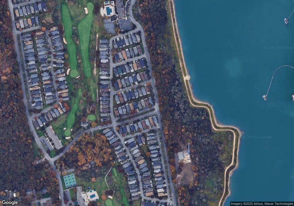
Map
Nearby Homes
- 17 Ariel Dr
- 12 Sophia Dr
- 3 Sophia Dr
- 11 Ethan Cir
- 745 Spring Lake Dr
- 763 Spring Lake Dr
- 10 Cedar Grove Terrace
- 777 Spring Lake Dr
- 825 Spring Lake Dr
- 1 Kate Cir
- 1 Casey Ln Unit 255
- 48 Kate Cir
- 1 Philip Ln
- 55 Eric Dr
- 75 Eric Dr
- 804 Birchwood Park Dr Unit 7
- 11 Mauritz Blvd
- 5 Lori Ln
- 4 Cari Ln
- 0 Lake Terrace Unit KEY883693