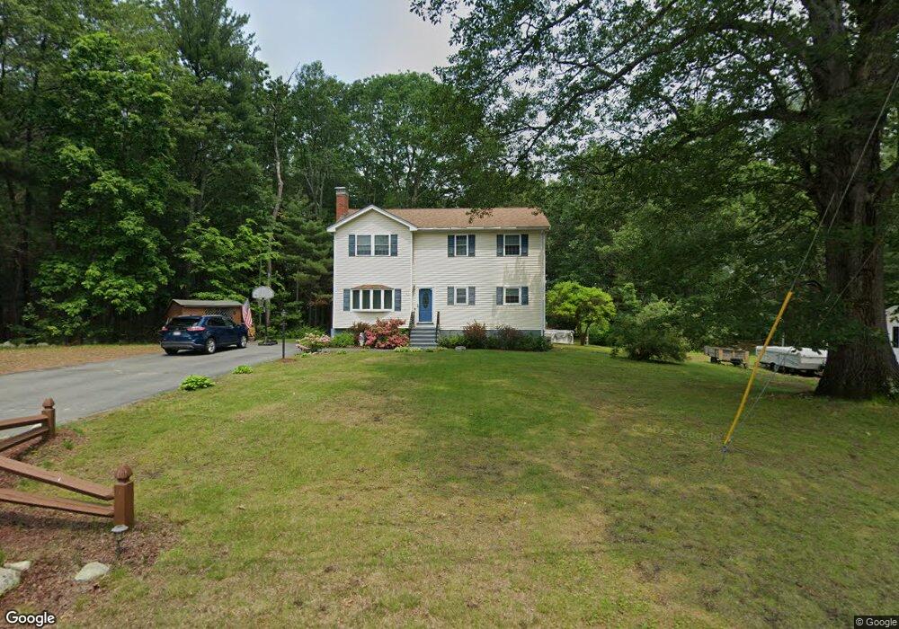
67 Dexter Ave Dracut, MA 01826
Estimated Value: $589,000 - $694,000
4
Beds
2
Baths
2,350
Sq Ft
$278/Sq Ft
Est. Value
About This Home
This home is located at 67 Dexter Ave, Dracut, MA 01826 and is currently estimated at $653,087, approximately $277 per square foot. 67 Dexter Ave is a home located in Middlesex County with nearby schools including Brookside Elementary School, Richardson Middle School, and Dracut Senior High School.
Ownership History
Date
Name
Owned For
Owner Type
Purchase Details
Closed on
Mar 9, 2011
Sold by
Igoe Devid and Igoe Jill
Bought by
Baker Michele
Current Estimated Value
Home Financials for this Owner
Home Financials are based on the most recent Mortgage that was taken out on this home.
Original Mortgage
$300,192
Outstanding Balance
$206,650
Interest Rate
4.83%
Mortgage Type
Purchase Money Mortgage
Estimated Equity
$446,437
Purchase Details
Closed on
Aug 1, 2000
Sold by
Sharko John R and Sharko Phylis K
Bought by
Igoe David and Igoe Edward
Purchase Details
Closed on
Sep 6, 1990
Sold by
Dubois Roger O
Bought by
Yoon Phylis K
Create a Home Valuation Report for This Property
The Home Valuation Report is an in-depth analysis detailing your home's value as well as a comparison with similar homes in the area
Home Values in the Area
Average Home Value in this Area
Purchase History
| Date | Buyer | Sale Price | Title Company |
|---|---|---|---|
| Baker Michele | $308,000 | -- | |
| Igoe David | $170,500 | -- | |
| Yoon Phylis K | $130,000 | -- |
Source: Public Records
Mortgage History
| Date | Status | Borrower | Loan Amount |
|---|---|---|---|
| Open | Baker Michele | $300,192 | |
| Previous Owner | Yoon Phylis K | $160,000 | |
| Previous Owner | Yoon Phylis K | $160,000 | |
| Previous Owner | Yoon Phylis K | $25,000 |
Source: Public Records
Tax History
| Year | Tax Paid | Tax Assessment Tax Assessment Total Assessment is a certain percentage of the fair market value that is determined by local assessors to be the total taxable value of land and additions on the property. | Land | Improvement |
|---|---|---|---|---|
| 2025 | $5,796 | $572,700 | $225,400 | $347,300 |
| 2024 | $5,581 | $534,100 | $214,600 | $319,500 |
| 2023 | $5,411 | $467,300 | $186,700 | $280,600 |
| 2022 | $5,274 | $429,100 | $169,600 | $259,500 |
| 2021 | $5,204 | $400,000 | $154,100 | $245,900 |
| 2020 | $4,377 | $377,700 | $149,500 | $228,200 |
| 2019 | $15,165 | $350,900 | $142,300 | $208,600 |
| 2018 | $0 | $342,100 | $142,300 | $199,800 |
| 2017 | $4,807 | $342,100 | $142,300 | $199,800 |
| 2016 | $4,761 | $320,800 | $143,100 | $177,700 |
| 2015 | $4,604 | $308,400 | $143,100 | $165,300 |
| 2014 | $4,315 | $297,800 | $143,100 | $154,700 |
Source: Public Records
Map
Nearby Homes
- 13 Dallas Dr Unit 305
- 13 Dallas Dr Unit 107
- 29 Mill St Unit B
- 9 Arbor Dr
- 124 Tennis Plaza Rd Unit 40
- 17 Spare St
- 94 Tennis Plaza Rd Unit 10
- 1905 Lakeview Ave
- 74 Tennis Plaza Rd Unit 34
- 53 Vinal St
- 4 Mascuppic Trail
- 67 Glennon Ave
- 109 Navy Yard Rd
- 248 Acropolis Rd
- 91 Frederick St Unit 77
- 1400 Skyline Dr Unit 6
- 2300 Skyline Dr Unit 3
- 27 Beech St
- 1461 Pawtucket Blvd Unit 12
- 42 Frederick St Unit 9
Your Personal Tour Guide
Ask me questions while you tour the home.