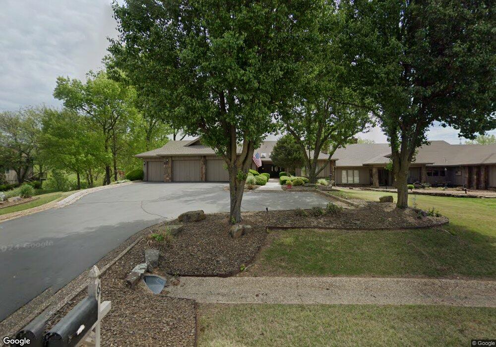
67 Dogwood Dr Bella Vista, AR 72715
Estimated Value: $554,000 - $664,000
3
Beds
4
Baths
4,253
Sq Ft
$146/Sq Ft
Est. Value
About This Home
This home is located at 67 Dogwood Dr, Bella Vista, AR 72715 and is currently estimated at $620,499, approximately $145 per square foot. 67 Dogwood Dr is a home located in Benton County with nearby schools including Cooper Elementary School, Old High Middle School, and Washington Junior High School.
Ownership History
Date
Name
Owned For
Owner Type
Purchase Details
Closed on
Nov 2, 1998
Bought by
Burris
Current Estimated Value
Purchase Details
Closed on
Dec 30, 1994
Bought by
Pontius Tr 1/2 Int
Purchase Details
Closed on
Dec 29, 1994
Bought by
Pontius
Purchase Details
Closed on
Dec 15, 1994
Bought by
Pontius Trust
Purchase Details
Closed on
Jun 22, 1990
Bought by
Pontius
Purchase Details
Closed on
Nov 16, 1989
Bought by
Whitaker Rev Trust
Purchase Details
Closed on
Oct 5, 1989
Bought by
Whitaker Rev Trust
Purchase Details
Closed on
Nov 3, 1986
Bought by
Fraka
Create a Home Valuation Report for This Property
The Home Valuation Report is an in-depth analysis detailing your home's value as well as a comparison with similar homes in the area
Home Values in the Area
Average Home Value in this Area
Purchase History
| Date | Buyer | Sale Price | Title Company |
|---|---|---|---|
| Burris | $370,000 | -- | |
| Pontius Tr | -- | -- | |
| Pontius Tr 1/2 Int | -- | -- | |
| Pontius | -- | -- | |
| Pontius Trust | -- | -- | |
| Pontius | $300,000 | -- | |
| Whitaker Rev Trust | -- | -- | |
| Whitaker Rev Trust | -- | -- | |
| Fraka | $277,000 | -- |
Source: Public Records
Tax History Compared to Growth
Tax History
| Year | Tax Paid | Tax Assessment Tax Assessment Total Assessment is a certain percentage of the fair market value that is determined by local assessors to be the total taxable value of land and additions on the property. | Land | Improvement |
|---|---|---|---|---|
| 2025 | $4,343 | $110,105 | $13,000 | $97,105 |
| 2024 | $4,298 | $110,105 | $13,000 | $97,105 |
| 2023 | $4,298 | $87,810 | $10,000 | $77,810 |
| 2022 | $4,061 | $87,810 | $10,000 | $77,810 |
| 2021 | $4,052 | $87,810 | $10,000 | $77,810 |
| 2020 | $4,092 | $80,940 | $10,000 | $70,940 |
| 2019 | $4,092 | $80,940 | $10,000 | $70,940 |
| 2018 | $4,117 | $80,940 | $10,000 | $70,940 |
| 2017 | $3,948 | $80,940 | $10,000 | $70,940 |
| 2016 | $3,948 | $80,940 | $10,000 | $70,940 |
| 2015 | $4,228 | $70,120 | $10,000 | $60,120 |
| 2014 | $3,878 | $70,120 | $10,000 | $60,120 |
Source: Public Records
Map
Nearby Homes
- 26 Norwood Dr
- 26 Annette Ln
- 20 Annette Ln
- 5 Mellor Ln
- 11 Mellor Ln
- 19 Mellor Ln
- TBD Coverack Ln
- 35 Dogwood Dr
- Undisclosed Nantucket Dr
- 16 Coverack Ln
- 15 Nantucket Dr
- 0 Kirkwall and Copinsay Unit 1322488
- 43 Britten Cir
- 19 Nantucket Dr
- 4 Nantucket Dr
- 14 Britten Cir
- 76 Overton Dr
- 0 Overton Dr
- 45 Penzance Dr
- 35 Fleetwood Dr