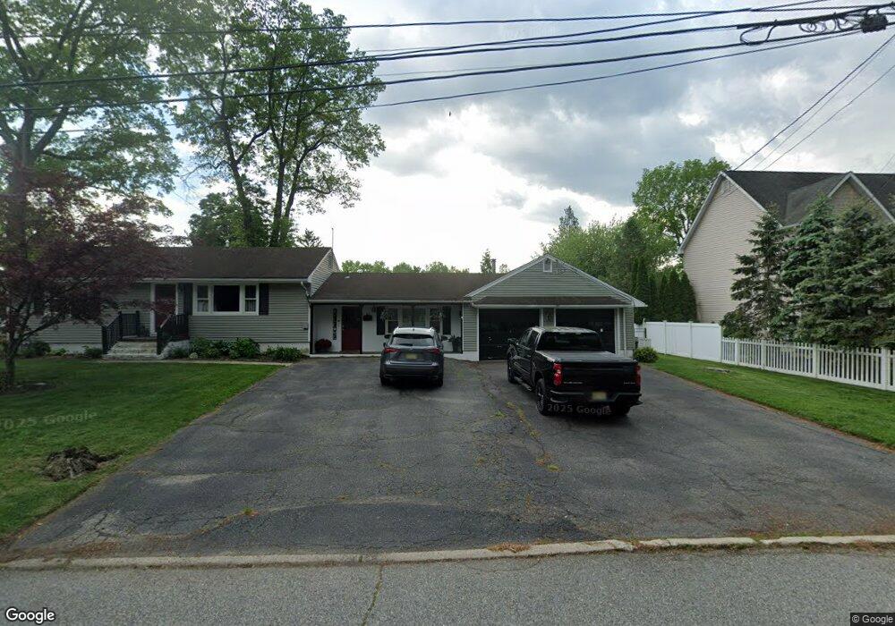
67 Duncan Ave Pequannock, NJ 07440
Estimated Value: $701,000 - $796,000
4
Beds
1
Bath
1,874
Sq Ft
$407/Sq Ft
Est. Value
About This Home
This home is located at 67 Duncan Ave, Pequannock, NJ 07440 and is currently estimated at $763,243, approximately $407 per square foot. 67 Duncan Ave is a home located in Morris County with nearby schools including Pequannock Twp High School, Holy Spirit School, and Netherlands Reformed Christian School.
Ownership History
Date
Name
Owned For
Owner Type
Purchase Details
Closed on
Feb 16, 2011
Sold by
Santifort William W and Santifort Melanie L
Bought by
Cherenson Gail
Current Estimated Value
Home Financials for this Owner
Home Financials are based on the most recent Mortgage that was taken out on this home.
Original Mortgage
$370,367
Outstanding Balance
$253,072
Interest Rate
4.75%
Mortgage Type
FHA
Estimated Equity
$510,171
Purchase Details
Closed on
Sep 10, 2004
Sold by
Santifort William
Bought by
Santifort William and Santifort Melanie
Create a Home Valuation Report for This Property
The Home Valuation Report is an in-depth analysis detailing your home's value as well as a comparison with similar homes in the area
Home Values in the Area
Average Home Value in this Area
Purchase History
| Date | Buyer | Sale Price | Title Company |
|---|---|---|---|
| Cherenson Gail | $380,000 | New Jersey Title Ins Co | |
| Santifort William | -- | -- |
Source: Public Records
Mortgage History
| Date | Status | Borrower | Loan Amount |
|---|---|---|---|
| Open | Cherenson Gail | $370,367 |
Source: Public Records
Tax History Compared to Growth
Tax History
| Year | Tax Paid | Tax Assessment Tax Assessment Total Assessment is a certain percentage of the fair market value that is determined by local assessors to be the total taxable value of land and additions on the property. | Land | Improvement |
|---|---|---|---|---|
| 2025 | $9,654 | $574,100 | $325,600 | $248,500 |
| 2024 | $9,556 | $529,000 | $285,100 | $243,900 |
| 2023 | $9,556 | $519,900 | $280,600 | $239,300 |
| 2022 | $9,506 | $380,700 | $230,000 | $150,700 |
| 2021 | $9,080 | $380,700 | $230,000 | $150,700 |
| 2020 | $9,384 | $380,700 | $230,000 | $150,700 |
| 2019 | $9,080 | $380,700 | $230,000 | $150,700 |
| 2018 | $8,737 | $380,700 | $230,000 | $150,700 |
| 2017 | $8,455 | $380,700 | $230,000 | $150,700 |
| 2016 | $8,189 | $380,700 | $230,000 | $150,700 |
| 2015 | $8,151 | $380,700 | $230,000 | $150,700 |
| 2014 | $7,957 | $380,700 | $230,000 | $150,700 |
Source: Public Records
Map
Nearby Homes
- 15 Slingerland Ave
- 26 Ackerson Ave
- 32 Parsons Rd
- 15 4th St
- 17 4th St
- 5 Robert Place
- 39 Terhune Ave
- 108 Boulevard
- 126 Jacksonville Rd
- 46 W William St
- 35 Randolph St
- 48 Caroline Ave
- 39 William St
- 18 Ellice St
- 38 Marlin Ave
- 20 Newark Pompton Turnpike
- 120 Greenwood Ave
- 2 Buckingham Rd
- 0 Oakwood Ave Unit 3989632
- 00 Oakwood Ave