Estimated Value: $350,000 - $395,000
3
Beds
2
Baths
1,398
Sq Ft
$261/Sq Ft
Est. Value
About This Home
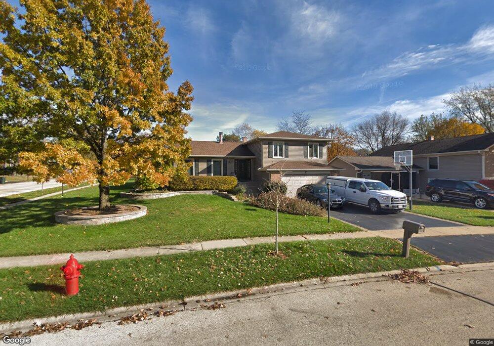
This home is located at 67 Duxbury Ln, Cary, IL 60013 and is currently estimated at $365,047, approximately $261 per square foot. 67 Duxbury Ln is a home located in McHenry County with nearby schools including Briargate Elementary School, Cary Jr High School, and Cary Grove High School.
Ownership History
Date
Name
Owned For
Owner Type
Purchase Details
Closed on
Aug 27, 2003
Sold by
Worsley Michael F and Worsley Karen J
Bought by
Rohrbacher Ronald T and Rohrbacher Darlene E
Current Estimated Value
Home Financials for this Owner
Home Financials are based on the most recent Mortgage that was taken out on this home.
Original Mortgage
$173,600
Outstanding Balance
$80,201
Interest Rate
6.18%
Mortgage Type
Unknown
Estimated Equity
$284,846
Create a Home Valuation Report for This Property
The Home Valuation Report is an in-depth analysis detailing your home's value as well as a comparison with similar homes in the area
Home Values in the Area
Average Home Value in this Area
Purchase History
| Date | Buyer | Sale Price | Title Company |
|---|---|---|---|
| Rohrbacher Ronald T | $217,000 | -- |
Source: Public Records
Mortgage History
| Date | Status | Borrower | Loan Amount |
|---|---|---|---|
| Open | Rohrbacher Ronald T | $173,600 |
Source: Public Records
Tax History Compared to Growth
Tax History
| Year | Tax Paid | Tax Assessment Tax Assessment Total Assessment is a certain percentage of the fair market value that is determined by local assessors to be the total taxable value of land and additions on the property. | Land | Improvement |
|---|---|---|---|---|
| 2024 | $8,430 | $108,108 | $22,606 | $85,502 |
| 2023 | $8,210 | $96,689 | $20,218 | $76,471 |
| 2022 | $7,273 | $83,672 | $20,749 | $62,923 |
| 2021 | $6,923 | $77,950 | $19,330 | $58,620 |
| 2020 | $6,714 | $75,191 | $18,646 | $56,545 |
| 2019 | $6,575 | $71,966 | $17,846 | $54,120 |
| 2018 | $5,941 | $64,060 | $16,486 | $47,574 |
| 2017 | $5,697 | $60,349 | $15,531 | $44,818 |
| 2016 | $5,642 | $56,602 | $14,567 | $42,035 |
| 2013 | -- | $55,492 | $13,589 | $41,903 |
Source: Public Records
Map
Nearby Homes
- 780 Merrimac St
- 763 Blazing Star Trail
- 368 Copper Canyon Trail
- 2 Daybreak Ridge Trail
- 888 Blazing Star Trail
- 641 Alida Dr
- 413 Haber Rd Unit 5
- 417 Haber Rd Unit 6
- 1108 E Danbury Dr Unit 4D
- 421 Haber Rd Unit 7
- 0 Kaper Dr
- 12 Jefferson Ln
- 745 Harper Ave
- 589 Arthur Dr
- 1309 New Haven Dr
- 550 Norman Dr
- 20 Oak Valley Dr Unit 2
- 204 Country Commons Rd
- 1129 Amber Dr
- 3712 3 Oaks Rd
- 61 Duxbury Ln
- 76 Chelsea Ln
- 70 Chelsea Ln
- 55 Duxbury Ln
- 820 Merrimac St
- 814 Merrimac St
- 826 Merrimac St
- 66 Duxbury Ln
- 66 Chelsea Ln
- 806 Merrimac St
- 49 Duxbury Ln
- 832 Merrimac St
- 60 Duxbury Ln
- 62 Chelsea Ln
- 54 Duxbury Ln
- 800 Merrimac St
- 838 Merrimac St
- 845 Merrimac St
- 43 Duxbury Ln
- 825 Blue Mesa Trail