Estimated Value: $323,690 - $354,000
5
Beds
3
Baths
2,112
Sq Ft
$158/Sq Ft
Est. Value
About This Home
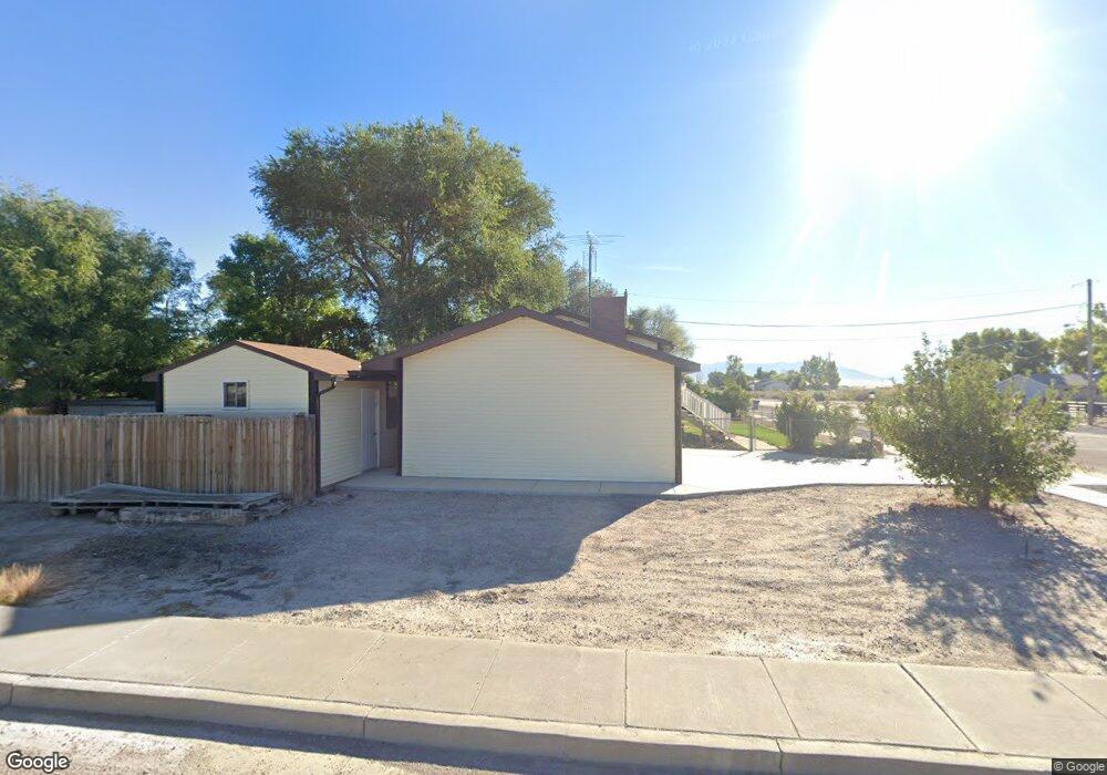
This home is located at 67 E 400 S, Delta, UT 84624 and is currently estimated at $334,673, approximately $158 per square foot. 67 E 400 S is a home located in Millard County with nearby schools including Cba Center and White River Academy.
Ownership History
Date
Name
Owned For
Owner Type
Purchase Details
Closed on
Feb 8, 2012
Sold by
Owens Joan S and Owens Derrell L
Bought by
Owens Joan S and Owens Derrell L
Current Estimated Value
Home Financials for this Owner
Home Financials are based on the most recent Mortgage that was taken out on this home.
Original Mortgage
$62,595
Interest Rate
3.84%
Purchase Details
Closed on
Aug 4, 2009
Sold by
The Bank Of New York Mellon Trust Compan
Bought by
Owens Joan S and Owens Derrell L
Home Financials for this Owner
Home Financials are based on the most recent Mortgage that was taken out on this home.
Original Mortgage
$61,750
Interest Rate
5.19%
Create a Home Valuation Report for This Property
The Home Valuation Report is an in-depth analysis detailing your home's value as well as a comparison with similar homes in the area
Home Values in the Area
Average Home Value in this Area
Purchase History
| Date | Buyer | Sale Price | Title Company |
|---|---|---|---|
| Owens Joan S | -- | -- | |
| Owens Joan S | -- | -- |
Source: Public Records
Mortgage History
| Date | Status | Borrower | Loan Amount |
|---|---|---|---|
| Previous Owner | Owens Joan S | $62,595 | |
| Previous Owner | Owens Joan S | $61,750 |
Source: Public Records
Tax History
| Year | Tax Paid | Tax Assessment Tax Assessment Total Assessment is a certain percentage of the fair market value that is determined by local assessors to be the total taxable value of land and additions on the property. | Land | Improvement |
|---|---|---|---|---|
| 2025 | $1,495 | $159,803 | $16,044 | $143,759 |
| 2024 | $1,495 | $126,047 | $12,202 | $113,845 |
| 2023 | $1,574 | $126,047 | $12,202 | $113,845 |
| 2022 | $1,230 | $92,520 | $12,756 | $79,764 |
| 2021 | $1,041 | $74,758 | $9,645 | $65,113 |
| 2020 | $969 | $69,135 | $8,769 | $60,366 |
| 2019 | $834 | $59,507 | $8,923 | $50,584 |
| 2018 | $769 | $55,330 | $8,923 | $46,407 |
| 2017 | $794 | $55,070 | $8,663 | $46,407 |
| 2016 | $769 | $55,070 | $8,663 | $46,407 |
| 2015 | $769 | $55,070 | $8,663 | $46,407 |
| 2014 | -- | $51,163 | $8,663 | $42,500 |
| 2013 | -- | $51,163 | $8,663 | $42,500 |
Source: Public Records
Map
Nearby Homes
- 321 E 200 S
- 163 W 100 S
- 87 S 300 East Rd
- 44 E 300 S
- 0 E Highway 6 Unit LotWP001 16586023
- 294 S 300 W
- 341 W 100 S
- 648 Tamarix St
- 149 N 200 W
- 445 Topaz Blvd Unit 10
- 325 N 100 W
- 7900 E 250 Rd N
- Locust Ave Unit LotWP001
- 451 W 300 N
- 520 E 450 North Rd
- 628 Sunset St
- 901 E 750 Rd N
- 2595 E 500 Rd S Unit 3
- 98 W 1000 N
- 700 N Highway 6
Your Personal Tour Guide
Ask me questions while you tour the home.