67 E End Rd Bolton, MA 01740
Estimated Value: $943,209 - $1,103,000
4
Beds
3
Baths
3,617
Sq Ft
$276/Sq Ft
Est. Value
About This Home
This home is located at 67 E End Rd, Bolton, MA 01740 and is currently estimated at $999,552, approximately $276 per square foot. 67 E End Rd is a home located in Worcester County with nearby schools including Florence Sawyer School and Nashoba Regional High School.
Ownership History
Date
Name
Owned For
Owner Type
Purchase Details
Closed on
May 28, 2021
Sold by
Chiodo Frank and Chiodo Rosanna E
Bought by
Chiodo Rosanna E
Current Estimated Value
Home Financials for this Owner
Home Financials are based on the most recent Mortgage that was taken out on this home.
Original Mortgage
$190,000
Outstanding Balance
$171,270
Interest Rate
2.9%
Mortgage Type
New Conventional
Estimated Equity
$828,282
Create a Home Valuation Report for This Property
The Home Valuation Report is an in-depth analysis detailing your home's value as well as a comparison with similar homes in the area
Home Values in the Area
Average Home Value in this Area
Purchase History
| Date | Buyer | Sale Price | Title Company |
|---|---|---|---|
| Chiodo Rosanna E | -- | None Available | |
| Chiodo Rosanna E | -- | None Available |
Source: Public Records
Mortgage History
| Date | Status | Borrower | Loan Amount |
|---|---|---|---|
| Open | Chiodo Rosanna E | $190,000 | |
| Closed | Chiodo Rosanna E | $190,000 |
Source: Public Records
Tax History
| Year | Tax Paid | Tax Assessment Tax Assessment Total Assessment is a certain percentage of the fair market value that is determined by local assessors to be the total taxable value of land and additions on the property. | Land | Improvement |
|---|---|---|---|---|
| 2025 | $13,708 | $824,800 | $231,600 | $593,200 |
| 2024 | $12,673 | $779,400 | $216,600 | $562,800 |
| 2023 | $12,453 | $711,600 | $220,500 | $491,100 |
| 2022 | $12,300 | $619,000 | $210,600 | $408,400 |
| 2021 | $12,380 | $593,500 | $210,600 | $382,900 |
| 2020 | $12,289 | $602,700 | $210,600 | $392,100 |
| 2019 | $11,887 | $580,700 | $205,500 | $375,200 |
| 2018 | $11,708 | $566,700 | $196,600 | $370,100 |
| 2017 | $11,509 | $542,900 | $191,600 | $351,300 |
| 2016 | $10,407 | $497,700 | $181,600 | $316,100 |
| 2015 | $10,238 | $488,000 | $171,600 | $316,400 |
| 2014 | $10,295 | $485,600 | $186,600 | $299,000 |
Source: Public Records
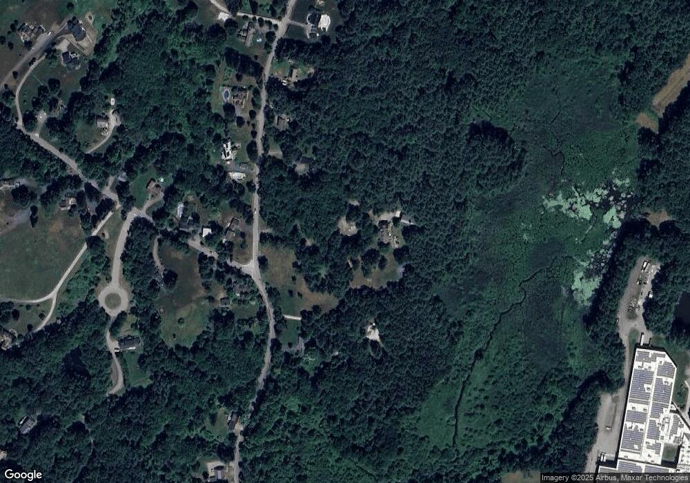
Map
Nearby Homes
- 53 Sylvan Dr
- 13 Pine Hill Way
- 18 B Pine Hill Way Unit BB
- 90 Corn Rd
- 16 A Pine Hill Way Unit 16AA
- 14 Pine Hill Way
- 98 Meadow Rd
- 54 Orchard Dr Unit 54
- 28 Mcintosh Dr
- 0 Long Hill Rd
- 555 Old Harvard Rd
- 94 Hudson Rd
- 143 Hudson Rd
- 47 Sugar Rd
- 19 Partridge Hill Rd
- 11 Quail Run
- 39 Ridgewood Dr Unit 39
- 79 Taylor Rd
- 90 Harvard Rd
- 310 Codman Hill Rd Unit 35D
Your Personal Tour Guide
Ask me questions while you tour the home.