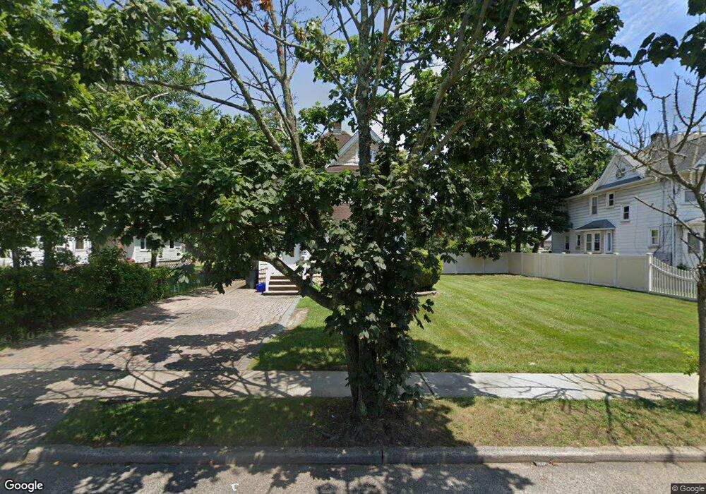
67 East Ave Freeport, NY 11520
Estimated Value: $693,000 - $770,135
1
Bed
1
Bath
2,090
Sq Ft
$350/Sq Ft
Est. Value
About This Home
This home is located at 67 East Ave, Freeport, NY 11520 and is currently estimated at $731,568, approximately $350 per square foot. 67 East Ave is a home located in Nassau County with nearby schools including Columbus Avenue School, Caroline G. Atkinson Intermediate School, and John W Dodd Middle School.
Ownership History
Date
Name
Owned For
Owner Type
Purchase Details
Closed on
Mar 26, 2024
Sold by
Artry Dawn and Artrey Dawn
Bought by
67 East Rentals Llc
Current Estimated Value
Purchase Details
Closed on
Nov 2, 2005
Sold by
Parkinson Ryan
Purchase Details
Closed on
Mar 8, 2004
Sold by
Artrey Dawn
Bought by
Parkinson Ryan
Purchase Details
Closed on
Aug 5, 2003
Sold by
Artrey Lincoln
Purchase Details
Closed on
May 14, 2003
Sold by
Artrey Lincoln
Purchase Details
Closed on
Apr 22, 2003
Sold by
Lopez Sergio
Bought by
Artrey Lincoln
Create a Home Valuation Report for This Property
The Home Valuation Report is an in-depth analysis detailing your home's value as well as a comparison with similar homes in the area
Home Values in the Area
Average Home Value in this Area
Purchase History
| Date | Buyer | Sale Price | Title Company |
|---|---|---|---|
| 67 East Rentals Llc | -- | None Available | |
| 67 East Rentals Llc | -- | None Available | |
| -- | -- | -- | |
| -- | -- | -- | |
| Parkinson Ryan | $325,000 | -- | |
| Parkinson Ryan | $325,000 | -- | |
| -- | -- | -- | |
| -- | -- | -- | |
| -- | -- | -- | |
| -- | -- | -- | |
| Artrey Lincoln | $300,000 | -- | |
| Artrey Lincoln | $300,000 | -- |
Source: Public Records
Tax History
| Year | Tax Paid | Tax Assessment Tax Assessment Total Assessment is a certain percentage of the fair market value that is determined by local assessors to be the total taxable value of land and additions on the property. | Land | Improvement |
|---|---|---|---|---|
| 2025 | $9,992 | $505 | $216 | $289 |
| 2024 | $1,149 | $505 | $216 | $289 |
Source: Public Records
Map
Nearby Homes
- 5 Sportsmans Ave
- 96 East Ave
- 61 East Ave
- 16 Sportsmans Ave
- 47 East Ave
- 175 Archer St Unit 1C
- 175 Archer St Unit 3A
- 280 Guy Lombardo Ave Unit 2H
- 280 Guy Lombardo Ave Unit 3D
- 159 Southside Ave
- 24 Whaley St
- 149 Smith St Unit e-22
- 145 Smith St Unit D4
- 153 Smith St Unit F22
- 158 Church St
- 124 Smith St Unit 3B
- 124 Smith St Unit 3F
- 124 Smith St Unit 3G
- 120 Sportsmans Ave
- 51 Atlantic Ave
Your Personal Tour Guide
Ask me questions while you tour the home.