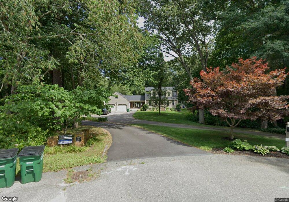
67 Elliott Ave Pembroke, MA 02359
Estimated Value: $707,000 - $851,000
3
Beds
2
Baths
1,760
Sq Ft
$433/Sq Ft
Est. Value
About This Home
This home is located at 67 Elliott Ave, Pembroke, MA 02359 and is currently estimated at $761,860, approximately $432 per square foot. 67 Elliott Ave is a home located in Plymouth County with nearby schools including Pembroke High School and Cardinal Cushing Centers.
Ownership History
Date
Name
Owned For
Owner Type
Purchase Details
Closed on
Mar 20, 1992
Sold by
Sidoti Frank J and Sidoti Fatricia A
Bought by
Mcqueeney David J and Mcqueeney Lisa A
Current Estimated Value
Home Financials for this Owner
Home Financials are based on the most recent Mortgage that was taken out on this home.
Original Mortgage
$115,000
Interest Rate
8.62%
Mortgage Type
Purchase Money Mortgage
Create a Home Valuation Report for This Property
The Home Valuation Report is an in-depth analysis detailing your home's value as well as a comparison with similar homes in the area
Home Values in the Area
Average Home Value in this Area
Purchase History
| Date | Buyer | Sale Price | Title Company |
|---|---|---|---|
| Mcqueeney David J | $172,000 | -- |
Source: Public Records
Mortgage History
| Date | Status | Borrower | Loan Amount |
|---|---|---|---|
| Open | Mcqueeney David J | $95,000 | |
| Closed | Mcqueeney David J | $114,000 | |
| Closed | Mcqueeney David J | $115,000 | |
| Previous Owner | Mcqueeney David J | $100,000 |
Source: Public Records
Tax History Compared to Growth
Tax History
| Year | Tax Paid | Tax Assessment Tax Assessment Total Assessment is a certain percentage of the fair market value that is determined by local assessors to be the total taxable value of land and additions on the property. | Land | Improvement |
|---|---|---|---|---|
| 2025 | $7,473 | $621,700 | $331,700 | $290,000 |
| 2024 | $7,110 | $591,000 | $326,500 | $264,500 |
| 2023 | $7,029 | $552,600 | $301,700 | $250,900 |
| 2022 | $6,543 | $462,400 | $240,200 | $222,200 |
| 2021 | $6,382 | $437,700 | $235,000 | $202,700 |
| 2020 | $6,248 | $431,200 | $235,000 | $196,200 |
| 2019 | $6,053 | $414,600 | $224,600 | $190,000 |
| 2018 | $5,917 | $397,400 | $224,600 | $172,800 |
| 2017 | $5,572 | $369,000 | $194,600 | $174,400 |
| 2016 | $5,439 | $356,400 | $182,200 | $174,200 |
| 2015 | $5,162 | $350,200 | $174,600 | $175,600 |
Source: Public Records
Map
Nearby Homes
- 20 Acorn Ln
- 53 Grove St
- 18 Allen St
- 127 Mattakeesett St
- 30 Old Washington St Unit 9
- 593 Washington St Unit A
- 547 Washington St Unit A10
- 89 W Elm St
- 523 Washington St Unit C6
- 523 Washington St Unit C8
- 23 Pondview Ave
- 28 Fieldstone Dr
- 140 Wampatuck St
- 136 W Elm St
- 15 Bagnell Dr Unit 15
- 33 Barker Square Dr Unit 33
- 89 Sunset Way
- 192 Taylor St
- 249 High St
- 42 Taylor Point Rd
- 100 Busy St
- 65 Elliott Ave
- 62 Elliott Ave
- 66 Elliott Ave
- 57 Elliott Ave
- 54 Elliott Ave
- 55 Elliott Ave
- 48 Elliott Ave
- 50 Acorn Ln
- 41 Acorn Ln
- 47 Acorn Ln
- Lot 19 Canoeclub
- 24 School St (Rt 27)
- 47 Elliott Ave
- 35 Acorn Ln
- 44 Elliott Ave
- 30 Herring Brook Ln
- 36 Herring Brook Ln
- 71 Herring Brook Ln
- 48 Acorn Ln