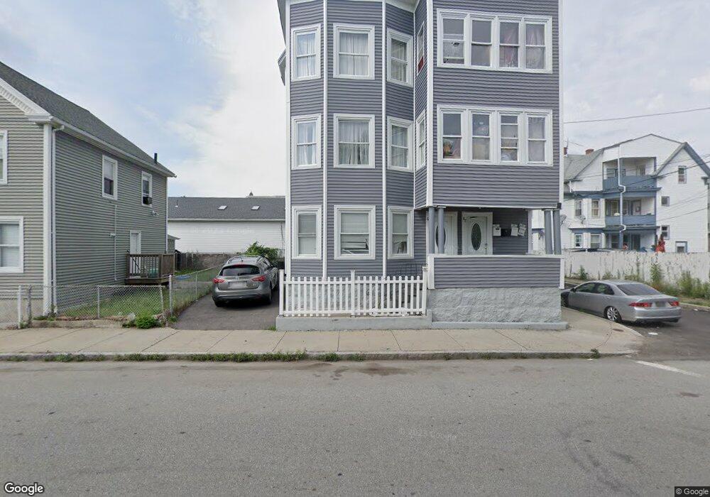
67 Erving Ave Unit 69 Lawrence, MA 01841
Arlington NeighborhoodEstimated Value: $785,000 - $832,000
9
Beds
3
Baths
4,476
Sq Ft
$181/Sq Ft
Est. Value
About This Home
This home is located at 67 Erving Ave Unit 69, Lawrence, MA 01841 and is currently estimated at $808,500, approximately $180 per square foot. 67 Erving Ave Unit 69 is a home located in Essex County with nearby schools including Olive Branch Elementary School, Hawkins Elementary SMART School, and School For Exceptional Studies.
Ownership History
Date
Name
Owned For
Owner Type
Purchase Details
Closed on
Dec 31, 1996
Sold by
Delossantos Martin
Bought by
Kinglsey Jose
Current Estimated Value
Home Financials for this Owner
Home Financials are based on the most recent Mortgage that was taken out on this home.
Original Mortgage
$79,750
Interest Rate
7.55%
Mortgage Type
Purchase Money Mortgage
Create a Home Valuation Report for This Property
The Home Valuation Report is an in-depth analysis detailing your home's value as well as a comparison with similar homes in the area
Home Values in the Area
Average Home Value in this Area
Purchase History
| Date | Buyer | Sale Price | Title Company |
|---|---|---|---|
| Kinglsey Jose | $80,000 | -- |
Source: Public Records
Mortgage History
| Date | Status | Borrower | Loan Amount |
|---|---|---|---|
| Open | Kinglsey Jose | $155,365 | |
| Closed | Kinglsey Jose | $79,750 |
Source: Public Records
Tax History Compared to Growth
Tax History
| Year | Tax Paid | Tax Assessment Tax Assessment Total Assessment is a certain percentage of the fair market value that is determined by local assessors to be the total taxable value of land and additions on the property. | Land | Improvement |
|---|---|---|---|---|
| 2025 | $6,903 | $784,400 | $93,400 | $691,000 |
| 2024 | $6,452 | $697,500 | $98,100 | $599,400 |
| 2023 | $6,607 | $650,300 | $94,700 | $555,600 |
| 2022 | $6,189 | $541,000 | $89,300 | $451,700 |
| 2021 | $5,842 | $476,100 | $89,300 | $386,800 |
| 2020 | $5,441 | $437,700 | $74,400 | $363,300 |
| 2019 | $4,731 | $345,800 | $55,300 | $290,500 |
| 2018 | $4,630 | $323,300 | $50,100 | $273,200 |
| 2017 | $4,312 | $281,100 | $47,500 | $233,600 |
| 2016 | $4,047 | $260,900 | $37,100 | $223,800 |
| 2015 | $3,878 | $256,500 | $37,100 | $219,400 |
Source: Public Records
Map
Nearby Homes
- 131A Lawrence St Unit 40
- 192 Union St
- 24 Bennington St
- 65 Brook St
- 89 Newbury St Unit 89B
- 100-102 E Haverhill St
- 6 Brook St
- 32 Alma St Unit 32
- 11 Lawrence St Unit 606
- 129-131 Lexington St
- 32 Orchard St
- 46 Amesbury St Unit 2B
- 46 Amesbury St Unit 4D
- 42 Union St
- 20 Knox St Unit 43
- 20 Knox St Unit 23
- 27 Exchange St
- 434-438 Hampshire St
- 29 Willow St Unit B
- 35 Kendall St
- 73 Erving Ave
- 11 Trinity St
- 14 Currier St Unit 16
- 14-16 Currier St
- 10-12 Currier St
- 55-57 Erving Ave Unit 3
- 55-57 Erving Ave
- 55 Erving Ave Unit 57
- 10 Currier St Unit 12
- 19 Trinity St Unit 21
- 68 Currier St
- 6-8 Currier St
- 15 Currier St Unit 17
- 41 Erving Ave Unit 43
- 9 Currier St Unit 11
- 23-25 Trinity St
- 23 Trinity St Unit 25
- 24 Currier St
- 5-7 Currier St
- 57 Currier St