Estimated Value: $337,788 - $388,000
Studio
1
Bath
1,248
Sq Ft
$294/Sq Ft
Est. Value
About This Home
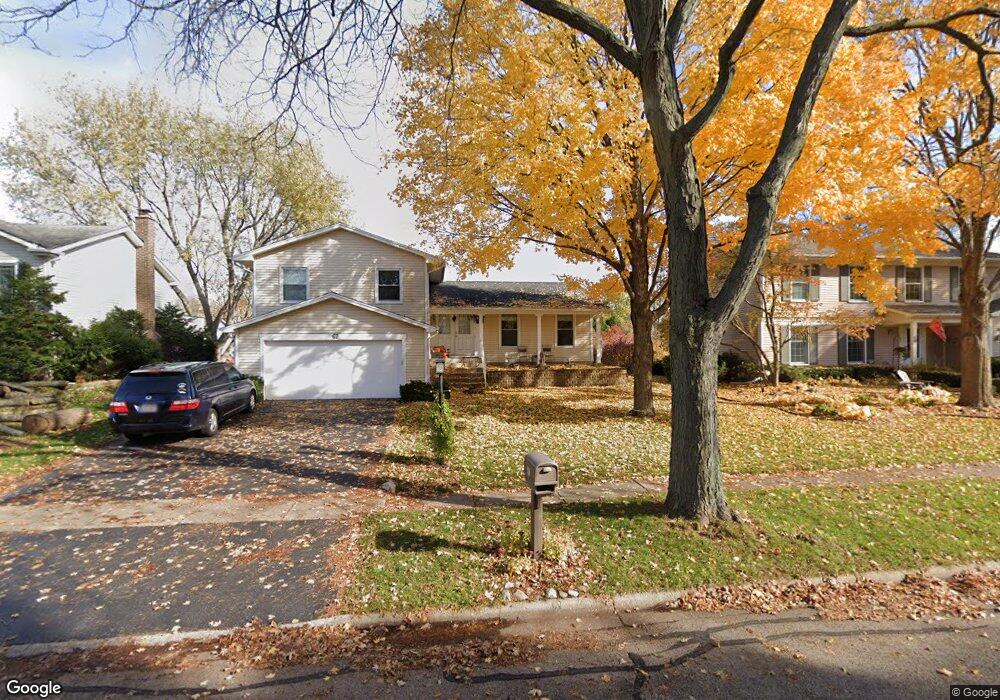
This home is located at 67 Fairfield Ln, Cary, IL 60013 and is currently estimated at $366,697, approximately $293 per square foot. 67 Fairfield Ln is a home located in McHenry County with nearby schools including Briargate Elementary School, Cary Jr High School, and Cary-Grove High School.
Ownership History
Date
Name
Owned For
Owner Type
Purchase Details
Closed on
Jul 9, 2024
Sold by
Hill Andrew and Hill Patricia L
Bought by
Andrew & Patricia Hill Family Trust and Hill
Current Estimated Value
Purchase Details
Closed on
May 28, 2002
Sold by
Ludkowski Phillip F and Ludkowski Nancy
Bought by
Hill Andrew and Hill Patricia L
Home Financials for this Owner
Home Financials are based on the most recent Mortgage that was taken out on this home.
Original Mortgage
$145,200
Interest Rate
6.25%
Purchase Details
Closed on
Apr 1, 1995
Sold by
Bedell Bruce J and Bedell Mary Ann
Bought by
Ludkowski Phillip F and Ludkowski Nancy
Home Financials for this Owner
Home Financials are based on the most recent Mortgage that was taken out on this home.
Original Mortgage
$119,200
Interest Rate
6.85%
Create a Home Valuation Report for This Property
The Home Valuation Report is an in-depth analysis detailing your home's value as well as a comparison with similar homes in the area
Home Values in the Area
Average Home Value in this Area
Purchase History
| Date | Buyer | Sale Price | Title Company |
|---|---|---|---|
| Andrew & Patricia Hill Family Trust | -- | None Listed On Document | |
| Hill Andrew | $181,500 | Chicago Title Insurance Co | |
| Ludkowski Phillip F | $149,000 | -- |
Source: Public Records
Mortgage History
| Date | Status | Borrower | Loan Amount |
|---|---|---|---|
| Previous Owner | Hill Andrew | $145,200 | |
| Previous Owner | Ludkowski Phillip F | $119,200 |
Source: Public Records
Tax History
| Year | Tax Paid | Tax Assessment Tax Assessment Total Assessment is a certain percentage of the fair market value that is determined by local assessors to be the total taxable value of land and additions on the property. | Land | Improvement |
|---|---|---|---|---|
| 2024 | $8,395 | $107,683 | $21,391 | $86,292 |
| 2023 | $8,174 | $96,309 | $19,132 | $77,177 |
| 2022 | $7,558 | $86,720 | $20,749 | $65,971 |
| 2021 | $7,196 | $80,790 | $19,330 | $61,460 |
| 2020 | $6,979 | $77,930 | $18,646 | $59,284 |
| 2019 | $6,837 | $74,588 | $17,846 | $56,742 |
| 2018 | $6,001 | $64,654 | $16,486 | $48,168 |
| 2017 | $5,876 | $60,908 | $15,531 | $45,377 |
| 2016 | $5,821 | $57,127 | $14,567 | $42,560 |
| 2013 | -- | $58,104 | $13,589 | $44,515 |
Source: Public Records
Map
Nearby Homes
- 38 Chelsea Ln
- 39 Boxwood Ln
- 6 Cambridge Ct
- 1266 Sagebrush Trail
- 259 Firenze Dr Unit 110
- 417 Haber Rd Unit 6
- 421 Haber Rd Unit 7
- 425 Haber Rd Unit 6
- 363 Milano Dr Unit 41
- 316 Haber Rd Unit 34125
- 0 Kaper Dr
- 1365 New Haven Dr
- 18 New Haven Dr
- 1404 New Haven Dr Unit 4
- 324 New Haven Dr
- 603 W Main St
- 3712 3 Oaks Rd
- 204 Country Commons Rd
- 582 Arthur Dr
- 543 Norman Dr
Your Personal Tour Guide
Ask me questions while you tour the home.