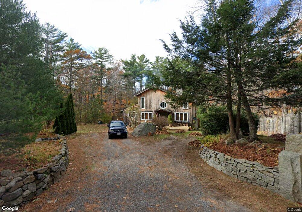
67 Fernald St Gloucester, MA 01930
West Gloucester NeighborhoodEstimated Value: $672,000 - $847,000
2
Beds
1
Bath
1,698
Sq Ft
$436/Sq Ft
Est. Value
About This Home
This home is located at 67 Fernald St, Gloucester, MA 01930 and is currently estimated at $740,909, approximately $436 per square foot. 67 Fernald St is a home located in Essex County with nearby schools including West Parish, Ralph B O'maley Middle School, and Gloucester High School.
Ownership History
Date
Name
Owned For
Owner Type
Purchase Details
Closed on
Aug 1, 1975
Bought by
Orlando Vincent P and Orlando Sheila F
Current Estimated Value
Create a Home Valuation Report for This Property
The Home Valuation Report is an in-depth analysis detailing your home's value as well as a comparison with similar homes in the area
Home Values in the Area
Average Home Value in this Area
Purchase History
| Date | Buyer | Sale Price | Title Company |
|---|---|---|---|
| Orlando Vincent P | -- | -- |
Source: Public Records
Mortgage History
| Date | Status | Borrower | Loan Amount |
|---|---|---|---|
| Open | Orlando Vincent P | $30,000 | |
| Closed | Orlando Vincent P | $30,000 | |
| Closed | Orlando Vincent P | $15,000 |
Source: Public Records
Tax History
| Year | Tax Paid | Tax Assessment Tax Assessment Total Assessment is a certain percentage of the fair market value that is determined by local assessors to be the total taxable value of land and additions on the property. | Land | Improvement |
|---|---|---|---|---|
| 2025 | $6,378 | $656,200 | $255,700 | $400,500 |
| 2024 | $6,316 | $649,100 | $243,500 | $405,600 |
| 2023 | $6,054 | $571,700 | $217,300 | $354,400 |
| 2022 | $5,860 | $499,600 | $189,000 | $310,600 |
| 2021 | $5,659 | $454,900 | $172,100 | $282,800 |
| 2020 | $5,608 | $454,800 | $172,100 | $282,700 |
| 2019 | $5,396 | $425,200 | $172,100 | $253,100 |
| 2018 | $5,234 | $404,800 | $172,100 | $232,700 |
| 2017 | $5,073 | $384,600 | $163,900 | $220,700 |
| 2016 | $5,025 | $369,200 | $171,000 | $198,200 |
| 2015 | $4,833 | $354,100 | $171,000 | $183,100 |
Source: Public Records
Map
Nearby Homes
- 587 Essex Ave
- 7 Leaman Dr
- 368 Essex Ave
- 357 Concord St
- 139 Eastern Ave
- 5 Samoset Rd Unit B
- 167 Atlantic St
- 162 Main St
- 90 Southern Ave Unit 90
- 226 Atlantic St
- 5 Marshfield St
- 15 Harvard St
- 84 Centennial Ave
- 6 Monroe Ct
- 34 & 34R Pickering St
- 20 Beacon St Unit 2
- 20 Beacon St Unit 1
- 98 Maplewood Ave
- 450 Summer St
- 2 Finch Ln