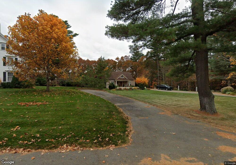
67 Ferry Rd Newburyport, MA 01950
Estimated Value: $872,000 - $1,132,000
2
Beds
2
Baths
1,324
Sq Ft
$740/Sq Ft
Est. Value
About This Home
This home is located at 67 Ferry Rd, Newburyport, MA 01950 and is currently estimated at $980,182, approximately $740 per square foot. 67 Ferry Rd is a home with nearby schools including Francis T. Bresnahan Elementary School, Edward G. Molin Elementary School, and Rupert A. Nock Middle School.
Create a Home Valuation Report for This Property
The Home Valuation Report is an in-depth analysis detailing your home's value as well as a comparison with similar homes in the area
Home Values in the Area
Average Home Value in this Area
Tax History Compared to Growth
Tax History
| Year | Tax Paid | Tax Assessment Tax Assessment Total Assessment is a certain percentage of the fair market value that is determined by local assessors to be the total taxable value of land and additions on the property. | Land | Improvement |
|---|---|---|---|---|
| 2025 | $7,335 | $765,700 | $400,700 | $365,000 |
| 2024 | $6,996 | $701,700 | $364,800 | $336,900 |
| 2023 | $6,709 | $624,700 | $317,300 | $307,400 |
| 2022 | $6,286 | $523,400 | $265,200 | $258,200 |
| 2021 | $5,785 | $457,700 | $241,700 | $216,000 |
| 2020 | $5,706 | $444,400 | $241,700 | $202,700 |
| 2019 | $5,619 | $429,600 | $241,700 | $187,900 |
| 2018 | $5,476 | $413,000 | $230,500 | $182,500 |
| 2017 | $5,333 | $396,500 | $219,500 | $177,000 |
| 2016 | $5,194 | $387,900 | $209,100 | $178,800 |
| 2015 | $4,973 | $372,800 | $209,100 | $163,700 |
Source: Public Records
Map
Nearby Homes
- 6 Boyd Dr
- 12 Roosevelt Place
- 8 Brown Ave
- 30 Dorothy e Lucey Dr
- 20 Cushing Ave
- 6 Woodman Way Unit 402
- 6 Woodman Way Unit 122
- 510 Merrimac St Unit 512
- 10 Clipper Way
- 572 Merrimac St
- 61 Clipper Way
- 492 Merrimac St
- 17 Alberta Ave
- 42 Myrtle Ave
- 19 Jefferson St
- 9 N Atkinson St
- 18 Hawkswood Estates
- 29 Columbus Ave
- 10 Rawson Hill Rd
- 486 Main St