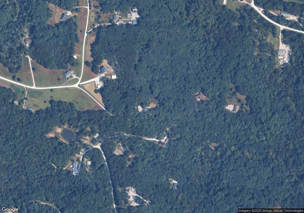
67 Fox Run Dr Wright City, MO 63390
Estimated Value: $460,000 - $555,000
4
Beds
3
Baths
1,884
Sq Ft
$261/Sq Ft
Est. Value
About This Home
This home is located at 67 Fox Run Dr, Wright City, MO 63390 and is currently estimated at $491,832, approximately $261 per square foot. 67 Fox Run Dr is a home located in Lincoln County with nearby schools including Wright City West Elementary School, Wright City East Elementary School, and Wright City Middle School.
Ownership History
Date
Name
Owned For
Owner Type
Purchase Details
Closed on
Oct 23, 2006
Sold by
Hickman Timothy D and Hickman Dawn
Bought by
Drews Shoy W
Current Estimated Value
Home Financials for this Owner
Home Financials are based on the most recent Mortgage that was taken out on this home.
Original Mortgage
$210,000
Outstanding Balance
$124,965
Interest Rate
6.41%
Mortgage Type
New Conventional
Estimated Equity
$366,867
Create a Home Valuation Report for This Property
The Home Valuation Report is an in-depth analysis detailing your home's value as well as a comparison with similar homes in the area
Purchase History
| Date | Buyer | Sale Price | Title Company |
|---|---|---|---|
| Drews Shoy W | -- | Mayer Title Company |
Source: Public Records
Mortgage History
| Date | Status | Borrower | Loan Amount |
|---|---|---|---|
| Open | Drews Shoy W | $210,000 |
Source: Public Records
Tax History
| Year | Tax Paid | Tax Assessment Tax Assessment Total Assessment is a certain percentage of the fair market value that is determined by local assessors to be the total taxable value of land and additions on the property. | Land | Improvement |
|---|---|---|---|---|
| 2025 | $2,842 | $46,191 | $3,439 | $42,752 |
| 2024 | $2,574 | $42,778 | $3,172 | $39,606 |
| 2023 | $2,567 | $43,438 | $3,249 | $40,189 |
| 2022 | $2,423 | $40,568 | $3,172 | $37,396 |
| 2021 | $2,436 | $208,716 | $0 | $0 |
| 2020 | $2,140 | $182,377 | $0 | $0 |
| 2019 | $2,134 | $182,377 | $0 | $0 |
| 2018 | $2,079 | $35,276 | $0 | $0 |
| 2017 | $2,074 | $35,276 | $0 | $0 |
| 2016 | $1,541 | $25,774 | $0 | $0 |
| 2015 | $1,540 | $25,774 | $0 | $0 |
| 2014 | $1,524 | $26,031 | $0 | $0 |
| 2013 | -- | $24,806 | $0 | $0 |
Source: Public Records
Map
Nearby Homes
- 38 Deer Crossing
- 0 Staghorn Unit MIS25064759
- 1855 Rock Springs Rd
- 1835 Rock Springs Rd
- 825 Highway Ww
- 1403 Highway J
- 148 Jabin Farm Rd
- 1839 Myers Rd
- 31261 Willow Ct
- 530 Hickory Knoll Dr
- 11264 Village Dr W
- 442 Shady Trail Dr
- 245 Auburn Ridge Dr
- 232 Auburn Ridge Dr
- 100 Jabin Farm Rd
- 299 Auburn Ridge Dr
- 269 Auburn Ridge Dr
- 125 Jabin Farm Rd
- 431 Shady Trail Dr
- 31634 Dogwood Ln
- 165 Sugar Ridge Ln
- 16 Rock Springs Ln
- 77 Fox Run Dr
- 126 Sugar Ridge Ln
- 61 Fox Run Dr
- 85 Sugar Ridge Ln
- 205 Fox Run Ct
- 152 Sugar Ridge Ln
- 230 Fox Run Ct
- 13 Sugar Ridge Ct
- 44 Fox Run Dr
- 225 Fox Run Ct
- 97 Deer Crossing
- 47 Fox Run Dr
- 6200 E Rock Springs Rd
- 0Lt. 26 Fox Run Dr
- 6187 E Rock Springs Rd
- 265 Fox Run Ct
- 265 Doe Run Dr
- 317 Pioneer Trail
