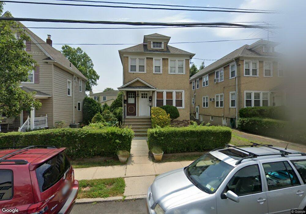
67 Fremont St Harrison, NY 10528
Estimated Value: $897,000 - $1,091,000
6
Beds
3
Baths
2,480
Sq Ft
$386/Sq Ft
Est. Value
About This Home
This home is located at 67 Fremont St, Harrison, NY 10528 and is currently estimated at $956,638, approximately $385 per square foot. 67 Fremont St is a home located in Westchester County with nearby schools including Parsons Memorial School, Louis M. Klein Middle School, and Harrison High School.
Ownership History
Date
Name
Owned For
Owner Type
Purchase Details
Closed on
Jun 1, 2022
Sold by
Peter Kepley
Bought by
Kepley Peter
Current Estimated Value
Purchase Details
Closed on
Feb 11, 2019
Sold by
Kepley Peter
Bought by
Kepley Elisabeth
Purchase Details
Closed on
Oct 1, 2008
Sold by
Roscia Lena
Bought by
Kepley Peter
Home Financials for this Owner
Home Financials are based on the most recent Mortgage that was taken out on this home.
Original Mortgage
$417,000
Interest Rate
6.41%
Mortgage Type
Purchase Money Mortgage
Create a Home Valuation Report for This Property
The Home Valuation Report is an in-depth analysis detailing your home's value as well as a comparison with similar homes in the area
Home Values in the Area
Average Home Value in this Area
Purchase History
| Date | Buyer | Sale Price | Title Company |
|---|---|---|---|
| Kepley Peter | -- | Blackacre Title | |
| Kepley Elisabeth | -- | None Available | |
| Kepley Peter | $552,000 | Blackacre Title Agency Corp |
Source: Public Records
Mortgage History
| Date | Status | Borrower | Loan Amount |
|---|---|---|---|
| Previous Owner | Kepley Peter | $417,000 |
Source: Public Records
Tax History Compared to Growth
Tax History
| Year | Tax Paid | Tax Assessment Tax Assessment Total Assessment is a certain percentage of the fair market value that is determined by local assessors to be the total taxable value of land and additions on the property. | Land | Improvement |
|---|---|---|---|---|
| 2024 | $12,839 | $8,000 | $1,500 | $6,500 |
| 2023 | $13,940 | $7,700 | $600 | $7,100 |
| 2022 | $12,045 | $7,700 | $600 | $7,100 |
| 2021 | $11,813 | $7,700 | $600 | $7,100 |
| 2020 | $13,048 | $7,700 | $600 | $7,100 |
| 2019 | $12,489 | $7,700 | $600 | $7,100 |
| 2018 | $6,631 | $7,700 | $600 | $7,100 |
| 2017 | $0 | $7,700 | $600 | $7,100 |
| 2016 | $11,814 | $7,700 | $600 | $7,100 |
| 2015 | -- | $7,700 | $600 | $7,100 |
| 2014 | -- | $7,700 | $600 | $7,100 |
| 2013 | -- | $7,700 | $600 | $7,100 |
Source: Public Records
Map
Nearby Homes
- 25 Fremont St
- 50 West St Unit C3B
- 50 West St Unit A6G
- 431 4th St
- 512 5th St
- 10 Beaver Landing
- 145 Harrison Ave
- 115 Osborn Ave
- 115 Calvert St
- 305 Hornidge Rd
- 1 Top of the Ridge Unit B1
- 1325 Stoneybrook Ave
- 2 Top of the Ridge Unit E2
- 215 Frank Ave
- 812 Halstead Ave
- 25 Hunt Place
- 737 Bradley St
- 501 N Barry Ave Unit 3M
- 718 Jefferson Ave
- 66 Batavia Place
- 67 Fremont St Unit 1
- 65 Fremont St
- 63 Fremont St
- 63 Fremont St Unit 2
- 61 Fremont St
- 50 Park Ave Unit B
- 50 Park Ave
- 46 Park Ave
- 73 Fremont St
- 70 2nd St
- 0 Fremont St
- 42 Park Ave
- 66 Fremont St
- 74 2nd St
- 60 Fremont St Unit 62
- 64 Fremont St
- 64 Fremont St Unit 66
- 56 Fremont St Unit 58
- 56 Park Ave
- 80 2nd St