67 Gabriel Dr Bridgeport, WV 26330
--
Bed
--
Bath
5,000
Sq Ft
4.2
Acres
About This Home
This home is located at 67 Gabriel Dr, Bridgeport, WV 26330. 67 Gabriel Dr is a home located in Harrison County.
Ownership History
Date
Name
Owned For
Owner Type
Purchase Details
Closed on
Jul 19, 2021
Sold by
Tripe C Commercial Properties Llc
Bought by
Cole Holdings Llc
Home Financials for this Owner
Home Financials are based on the most recent Mortgage that was taken out on this home.
Original Mortgage
$1,060,000
Outstanding Balance
$959,698
Interest Rate
2.9%
Mortgage Type
Commercial
Purchase Details
Closed on
Oct 25, 2006
Sold by
Taylor Roy A and Syslo Alice W
Bought by
Neels Chain Lik Fence Co Inc
Create a Home Valuation Report for This Property
The Home Valuation Report is an in-depth analysis detailing your home's value as well as a comparison with similar homes in the area
Home Values in the Area
Average Home Value in this Area
Purchase History
| Date | Buyer | Sale Price | Title Company |
|---|---|---|---|
| Cole Holdings Llc | $1,200,000 | None Available | |
| Neels Chain Lik Fence Co Inc | $195,000 | None Available |
Source: Public Records
Mortgage History
| Date | Status | Borrower | Loan Amount |
|---|---|---|---|
| Open | Cole Holdings Llc | $1,060,000 |
Source: Public Records
Tax History Compared to Growth
Tax History
| Year | Tax Paid | Tax Assessment Tax Assessment Total Assessment is a certain percentage of the fair market value that is determined by local assessors to be the total taxable value of land and additions on the property. | Land | Improvement |
|---|---|---|---|---|
| 2025 | $7,109 | $305,100 | $174,960 | $130,140 |
| 2024 | $7,109 | $306,120 | $174,960 | $131,160 |
| 2023 | $7,022 | $301,800 | $174,960 | $126,840 |
| 2022 | $7,077 | $300,300 | $174,960 | $125,340 |
| 2021 | $6,991 | $300,180 | $174,960 | $125,220 |
| 2020 | $6,962 | $301,860 | $174,960 | $126,900 |
| 2019 | $6,588 | $285,540 | $156,960 | $128,580 |
| 2018 | $6,549 | $285,180 | $156,960 | $128,220 |
| 2017 | $6,520 | $285,180 | $156,960 | $128,220 |
| 2016 | $6,384 | $282,720 | $156,960 | $125,760 |
| 2015 | $6,482 | $285,420 | $156,960 | $128,460 |
| 2014 | $5,665 | $249,720 | $146,400 | $103,320 |
Source: Public Records
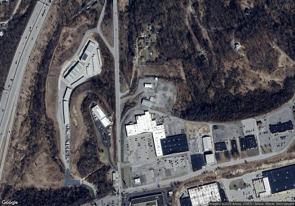
Map
Nearby Homes
- 1251 Briercliff Rd
- 0 Corpening Dr
- 000 Corpening Dr
- 501 Willow Ln
- 507 Willow Ln
- 636 Easy St
- 125 Carriage Ln
- 111 Frisco Ln
- 113 Frisco Ln
- 20 Meadow Ln
- 420 Water St
- 107 Valley Dr
- 428 James St
- 216 Davisson St
- 220 Davisson St
- 328 W Philadelphia Ave
- 548 Hall St
- 125 Ashford Dr
- 210 Frisco Ln
- 303 Lexington Cir
- tbd Gabriel Dr
- 421 Lodgeville Rd
- 126 Thompson Dr
- 140 Overview Ln
- 268 Ocean Mine Rd
- 143 Overview Ln
- 482 Lodgeville Rd Unit 76437
- 107 Thompson Dr
- 450 Lodgeville Rd
- 270 Ocean Mine Rd
- 266 Ocean Mine Rd
- 449 Lodgeville Rd
- 205 Thompson Dr
- 113 Heavens Way
- 101 Alberta Dr
- 401 Alberta Dr
- 409 Lodgeville Rd
- 9 Chenoweth Dr
- 1235 Briercliff Rd
- 1009 W Main St